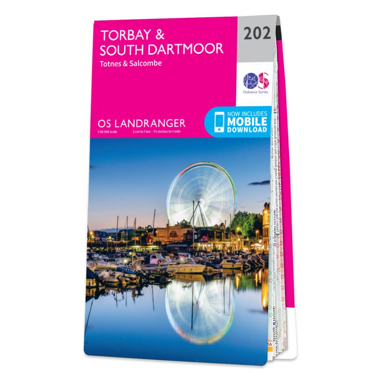
The Landranger map of Torbay & South Dartmoor, including Totnes & Salcombe, is the perfect tool for planning your next trip to the area. Landranger maps are perfect for extensive hikes, cycling, and driving holidays.With an absolute abundance on offer...
Taunton & Lyme Regis (inc. Chard & Bridport) map - OS Landranger 193 Standard Publication Date: 16/03/2018 Weatherproof Publication Date: 12/04/2018
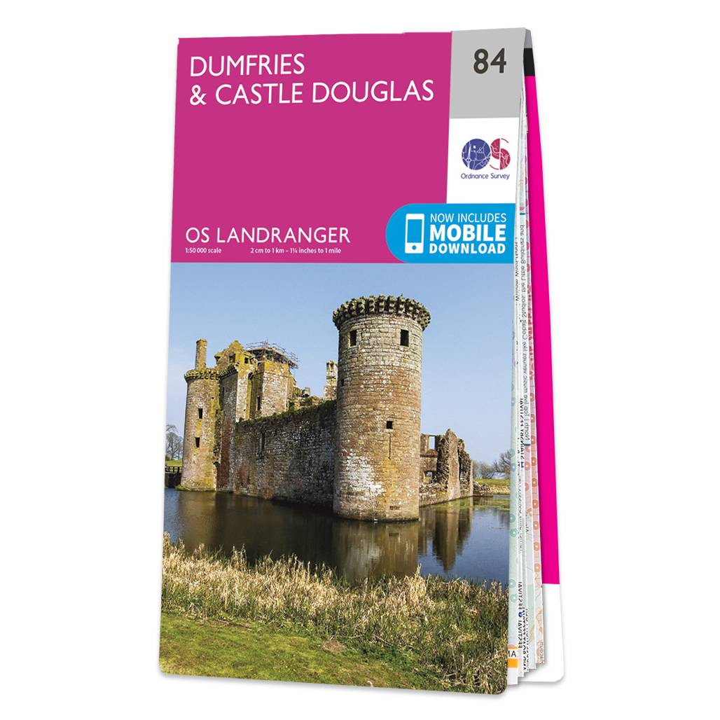
Dumfries & Castle Douglas map - OS Landranger 84. Dumfries is a market town in the heart of Dumfries & Galloway, which was formed in the merging of Dumfriesshire, Stewartry of Kirkcudbright and Wigtownshire. It's best known for an ancient traditional...

Reading & Windsor (inc. Henley-on-Thames & Bracknell) map - OS Landranger 175 Standard Publication Date: 22/09/2023 Weatherproof Publication Date: 05/12/2023
Aberystwyth & Machynlleth map - OS Landranger 135 Standard Publication Date: 24/02/16 Weatherproof Publication Date: 24/02/2016

Salisbury & The Plain (inc. Amesbury) map - OS Landranger 184 Standard Publication Date: 20/09/2017Weatherproof Publication Date: 27/10/2017
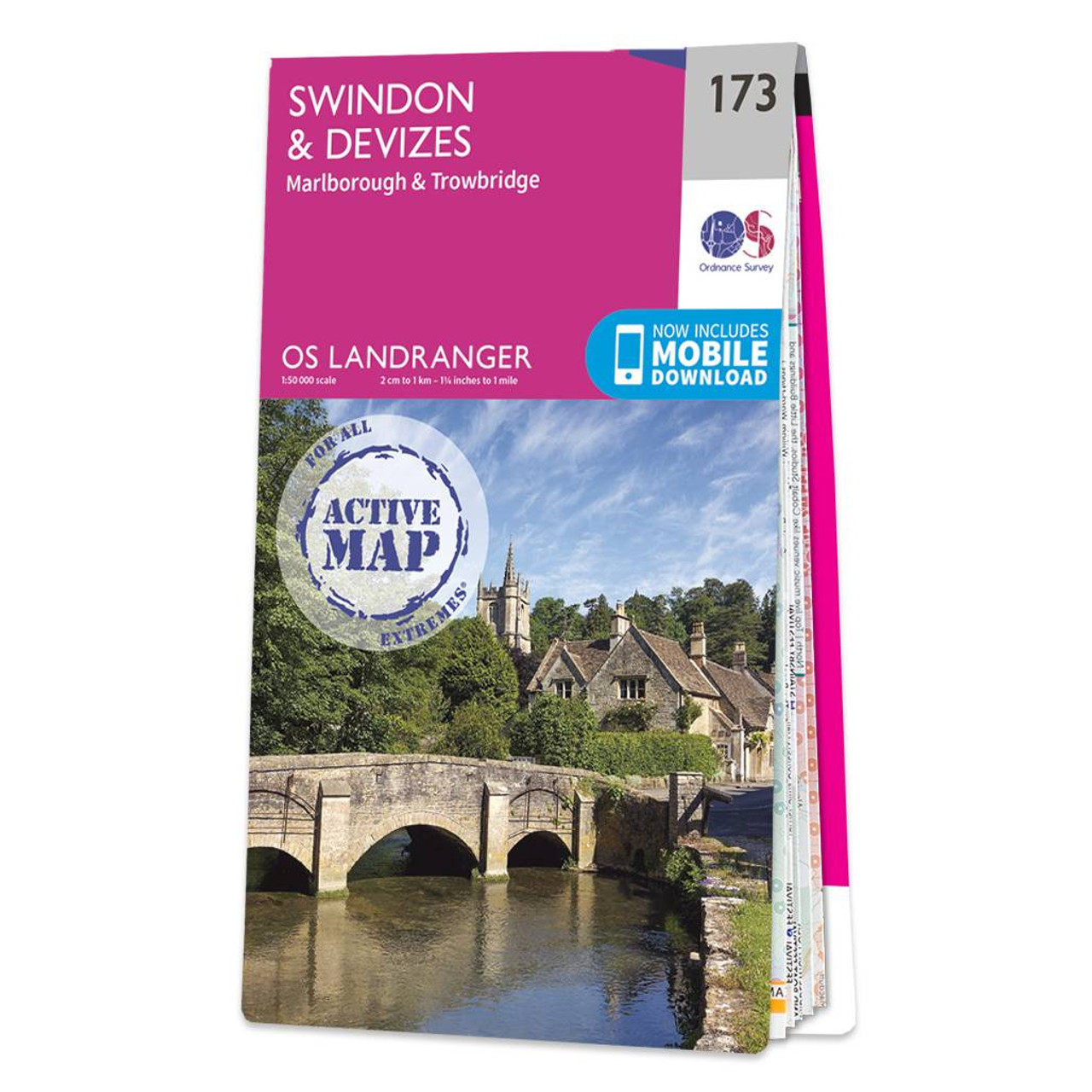
Swindon & Devizes (inc. Marlborough & Trowbridge) map - OS Landranger 173 Format: Folded map Physical Size: 1000 x 890 mm (134 x 227 mm folded) Standard Publication Date: 24/02/2016 Weatherproof Publication Date: 24/02/2016
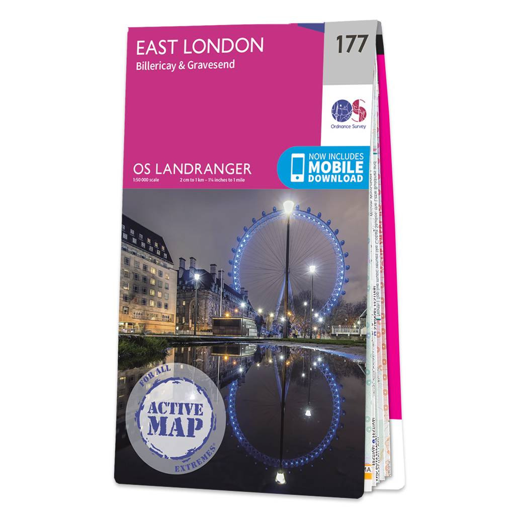
East London (inc. Billericay & Gravesend) map - OS Landranger 177 Standard Publication Date: 24/02/2016 Weatherproof Publication Date: 24/02/2016
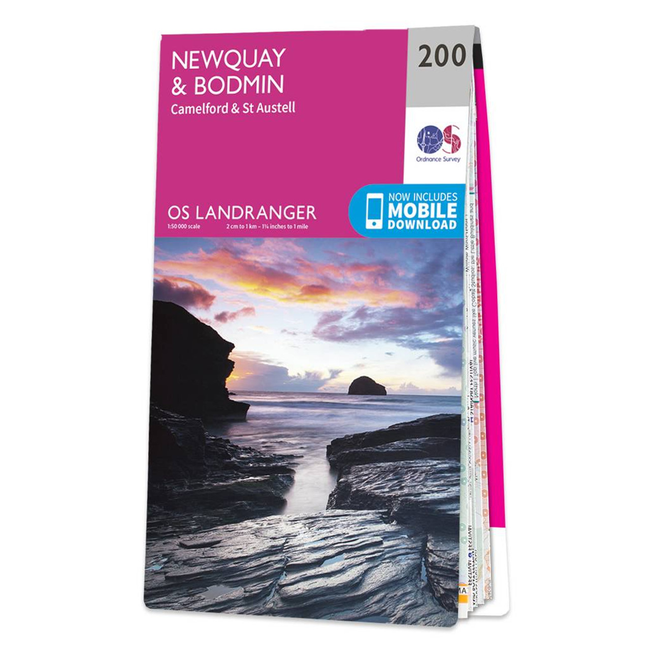
Don't lose it planing your next trip to North Cornwall. Landranger maps are perfect for extensive hikes, cycling, and driving holidays. The Newquay & Bodmin map features Camelford, St Austell, Holywell Bay, the Eden Project, and of course Newquay & Bodmin.Newquay...
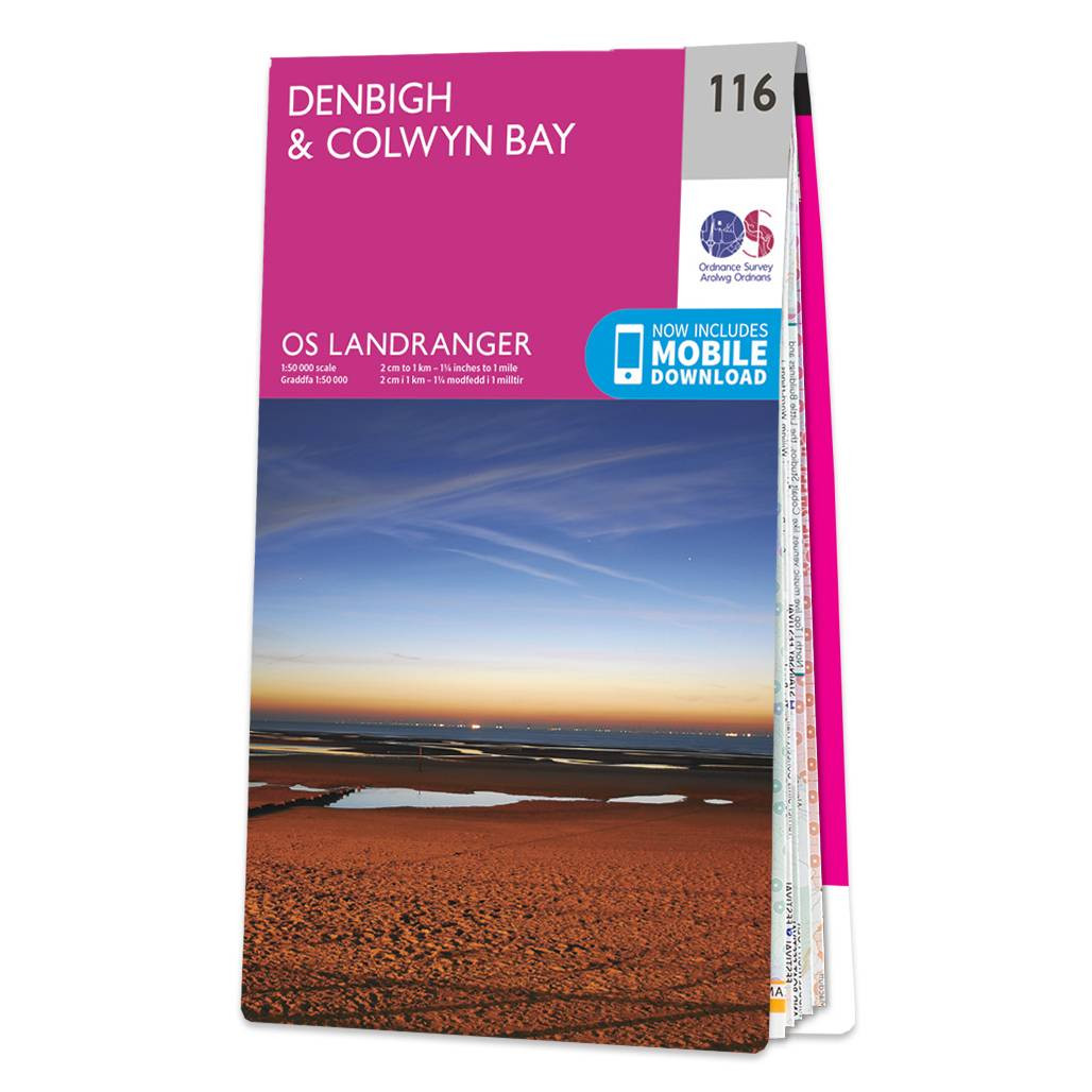
Denbigh & Colwyn Bay map - OS Landranger 116 Standard Publication Date: 04/11/2024 Weatherproof Publication Date: 24/02/2016
|
|