|
|

Reading & Windsor (inc. Henley-on-Thames & Bracknell) map - OS Landranger 175 Standard Publication Date: 22/09/2023 Weatherproof Publication Date: 05/12/2023
Price: £12.99 from Ordnance Survey
| Retailer | Price | |
|---|---|---|
| Ordnance Survey | £12.99 | Go to shop |

Coll & Tiree map - OS Landranger 46 Format: Folded map Physical Size: 1000 x 890 mm (134 x 227 mm folded) Standard Publication Date: 24/02/2016 Weatherproof Publication Date: 24/02/2016

Isle of Arran map - OS Landranger 69 Format: Folded map Physical Size: 1000 x 890 mm (134 x 227 mm folded) Standard Publication Date: 24/02/2016 Weatherproof Publication Date: 24/02/2016
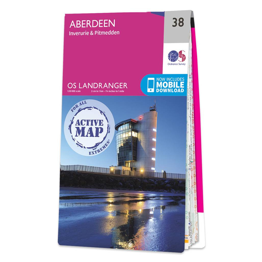
Aberdeen (inc. Inverurie & Pitmedden) map - OS Landranger 38 Format: Folded map Physical Size: 1000 x 890 mm (134 x 227 mm folded) Standard Publication Date: 05/08/2019 Weatherproof Publication Date: 05/08/2019
|
|