|
|
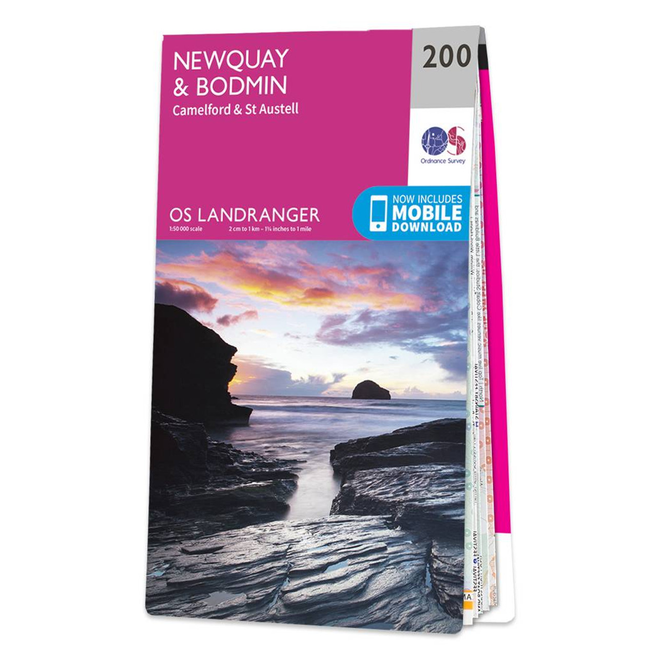
Don't lose it planing your next trip to North Cornwall. Landranger maps are perfect for extensive hikes, cycling, and driving holidays. The Newquay & Bodmin map features Camelford, St Austell, Holywell Bay, the Eden Project, and of course Newquay & Bodmin.Newquay and the surrounding area is well known as a beloved holiday destination and is also famous for it's surfing — hosting the Boardmasters surfing & music festival annually. Southwest of Bodmin is Bodmin Moor, a heather covered AONB, an upland granite moor still grazed by moorland ponies.Our Landranger maps come in weather proof options, and you'll also receive a free download for your devices; making for a convenient companion. Standard Publication Date: 12/10/2020 Weatherproof Publication Date: 12/10/2020
Price: £12.99 from Ordnance Survey
| Retailer | Price | |
|---|---|---|
| Ordnance Survey | £12.99 | Go to shop |
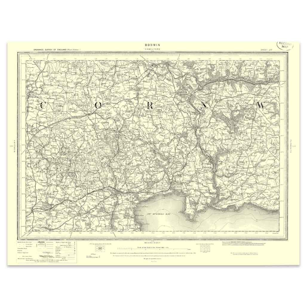
An authentic reproduction Ordnance Survey map of Bodmin from the Revised New Edition, 1896 to 1904. Printed flat, and delivered rolled in a tube. About our range of historical maps Our stunning Ordnance Survey Historical Maps make ideal gifts. Perfect...
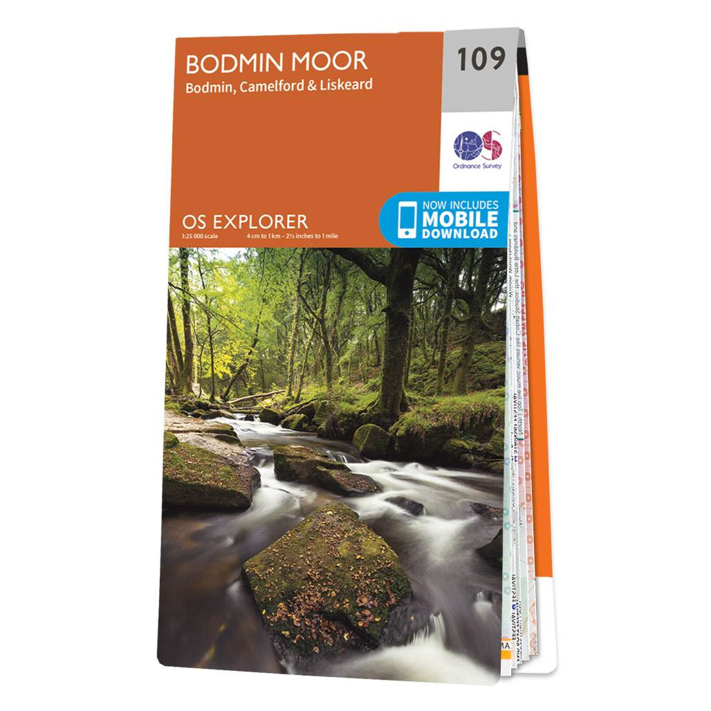
Map of Bodmin Moor - OS Explorer Map 109 (Bodmin, Camelford & Liskeard) Standard Publication Date: 16/09/2015 Weatherproof Publication Date: 16/09/2015
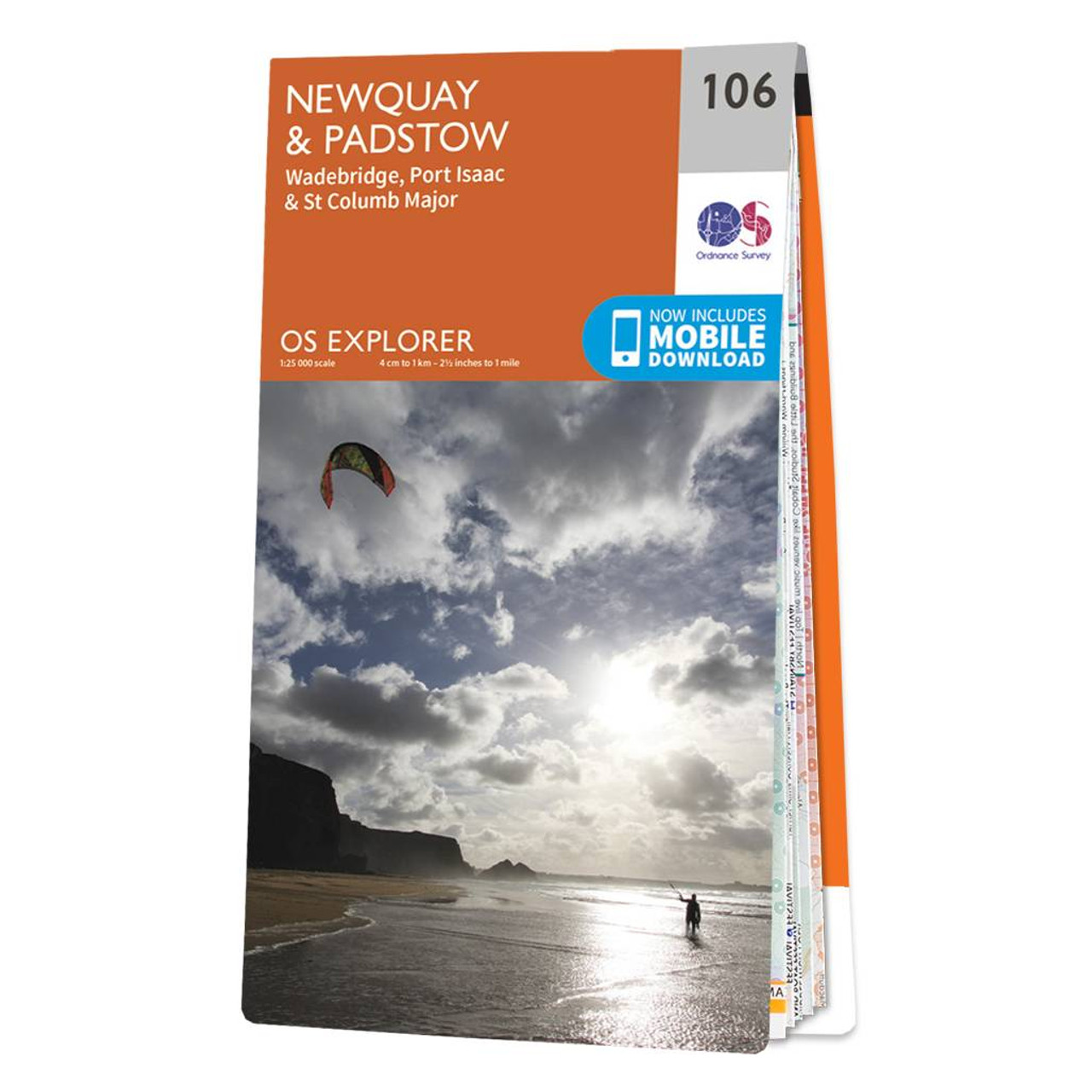
The OS Explorer map of Newquay & Padstow is a must-have companion for your next trip to the area.Explore Newquay, Padstow, and Port Issac, down to St Austel. The coastal area is popular amongst holidaymakers, perfect for hiking, surfing, and other water...
|
|