|
|
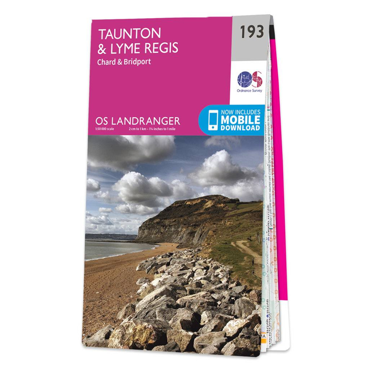
Taunton & Lyme Regis (inc. Chard & Bridport) map - OS Landranger 193 Standard Publication Date: 16/03/2018 Weatherproof Publication Date: 12/04/2018
Price: £12.99 from Ordnance Survey
| Retailer | Price | |
|---|---|---|
| Ordnance Survey | £12.99 | Go to shop |
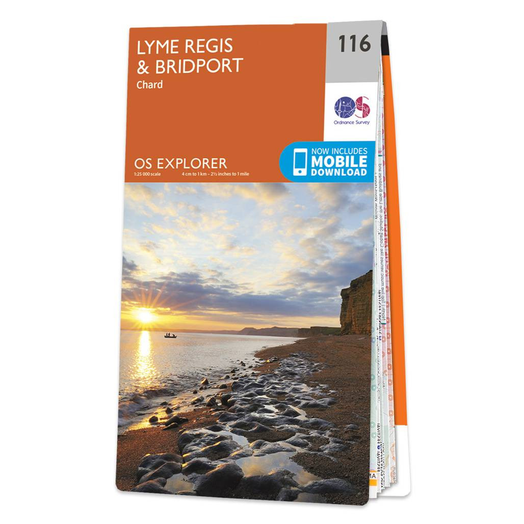
The OS Explorer map of Lyme Regis & Bridport covers the area between East Devon and West Dorset (between Beer and Burton Bradstock).With so much to discover, Explorer 116 is a must-have companion when visiting both Lyme Regis and Bridport. Lyme Regis...

Coll & Tiree map - OS Landranger 46 Format: Folded map Physical Size: 1000 x 890 mm (134 x 227 mm folded) Standard Publication Date: 24/02/2016 Weatherproof Publication Date: 24/02/2016

Isle of Arran map - OS Landranger 69 Format: Folded map Physical Size: 1000 x 890 mm (134 x 227 mm folded) Standard Publication Date: 24/02/2016 Weatherproof Publication Date: 24/02/2016
|
|