|
|
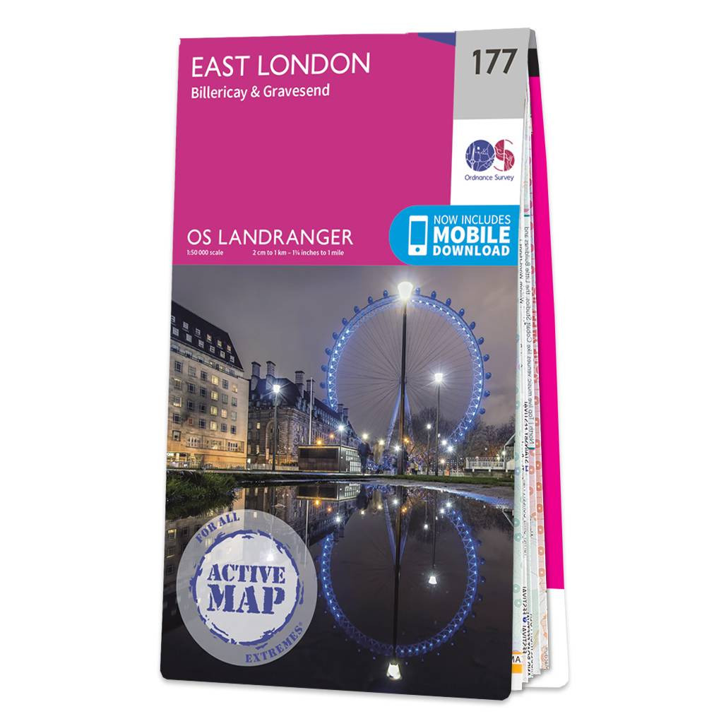
East London (inc. Billericay & Gravesend) map - OS Landranger 177 Standard Publication Date: 24/02/2016 Weatherproof Publication Date: 24/02/2016
Price: £16.99 from Ordnance Survey
| Retailer | Price | |
|---|---|---|
| Ordnance Survey | £16.99 | Go to shop |
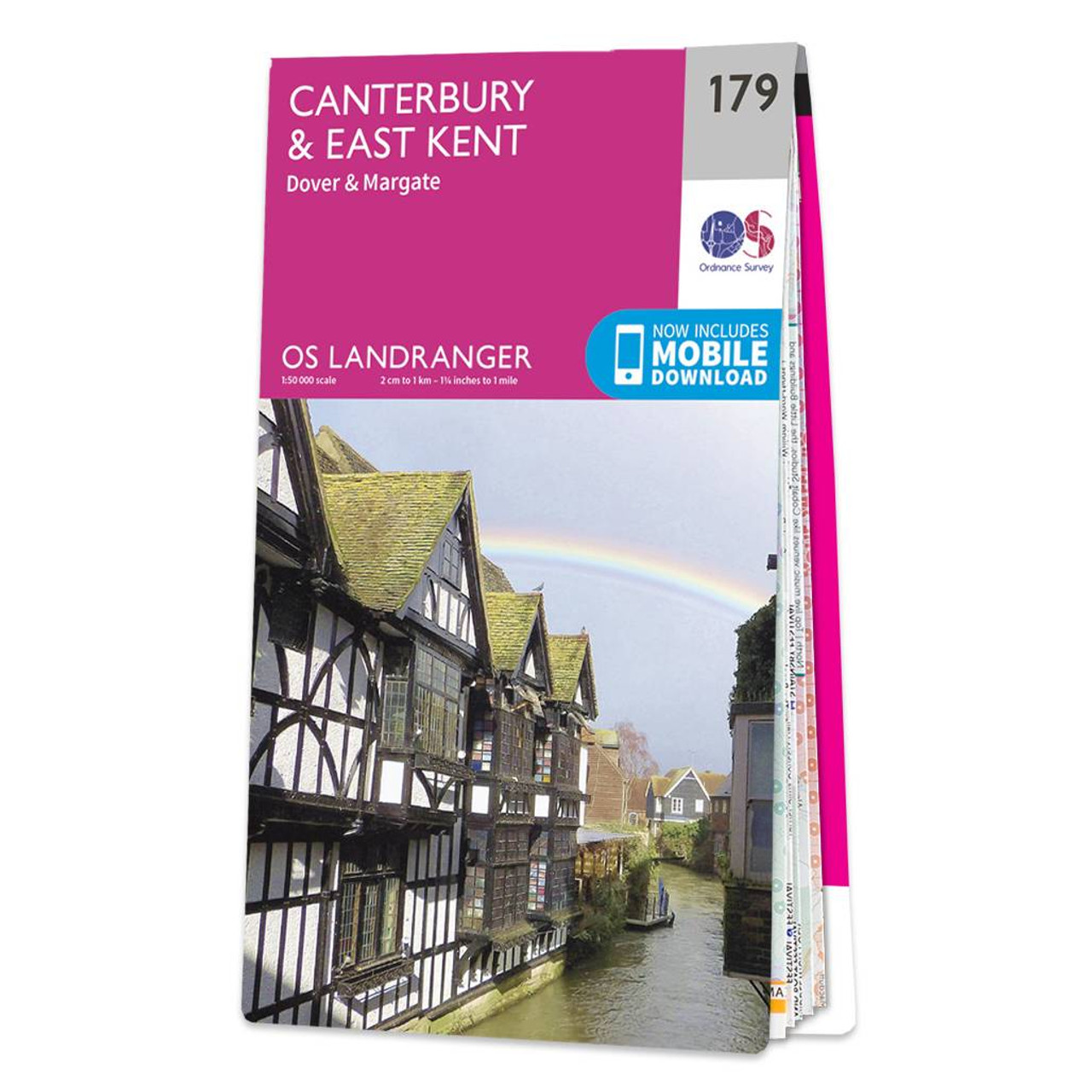
The Landranger map of Canterbury & East Kent, including Dover & Margate, is a must-have when planning your next trip to the area. Landranger maps are perfect for extensive hikes, cycling, and driving holidays.Ideal for planning days out or holidays to...

The Landranger map of North East Norfolk, including Cromer & Wroxham. Landranger maps are perfect for extensive hikes, cycling, and driving holidays. Ideal for planning days out or holidays to the North east of Norfolk, this map covers Cromer, Holt, North...
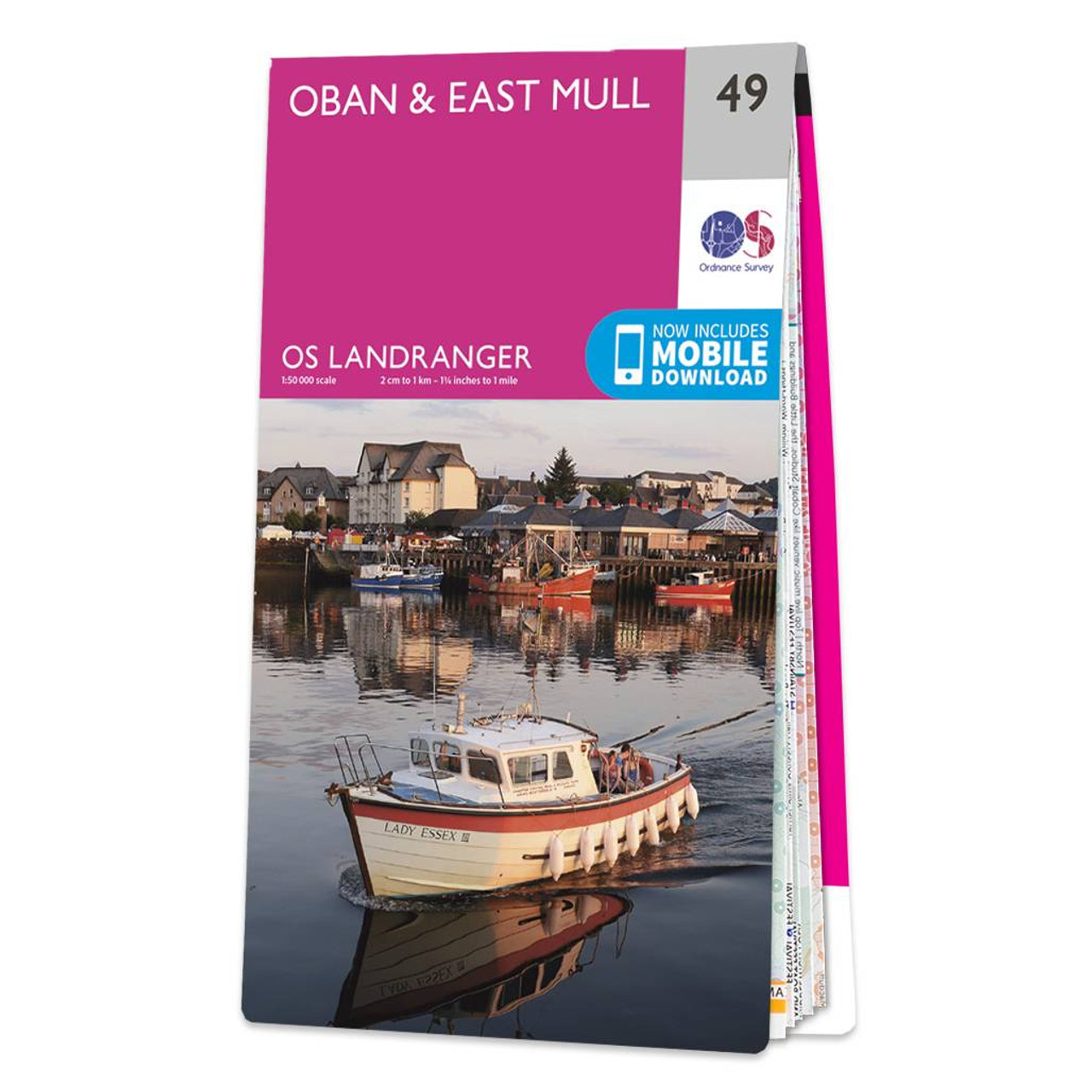
Oban & East Mull map - OS Landranger 49 Format: Folded map Physical Size: 1000 x 890 mm (134 x 227 mm folded) Standard Publication Date: 24/02/2016 Weatherproof Publication Date: 24/02/2016
|
|