Croeso!The OS Explorer map of Harlech, Porthmadog, & Y Bala is a must-have when visiting the area!Where the land meets the sea; explore grassy meadows, picturesque scenes of grazing sheep, dense woodlands, and beautiful beaches.Gaze across the sea from...
Map of Cumnock & Dalmellington - OS Explorer Map 327 (Mauchline & Patna) Format: Folded map Physical Size: 952 x 1270 mm (133 x 240 mm folded) Standard Publication Date: 16/09/2015 Weatherproof Publication Date: 16/09/2015
Map of Kidderminster & Wyre Forest - OS Explorer Map 218 (Bridgnorth) Format: Folded map Physical Size: 952 x 1270 mm (133 x 240 mm folded) Standard Publication Date: 05/12/2023 Weatherproof Publication Date: 26/06/2024

Map of Wolverhampton & Dudley - OS Explorer Map 219 (Stourbridge & Kidderminster) Format: Folded map Physical Size: 890 x 1000 mm (134 x 227 mm folded) Standard Publication Date: 16/09/2015 Waterproof Publication Date: 16/09/2015
Map of Coreen Hills & Glenlivet - OS Explorer Map OL 62 (Bennachie & Ladder Hills Insch & Rhynie) Standard Publication Date: 10/06/2015 Weatherproof Publication Date: 10/06/2015
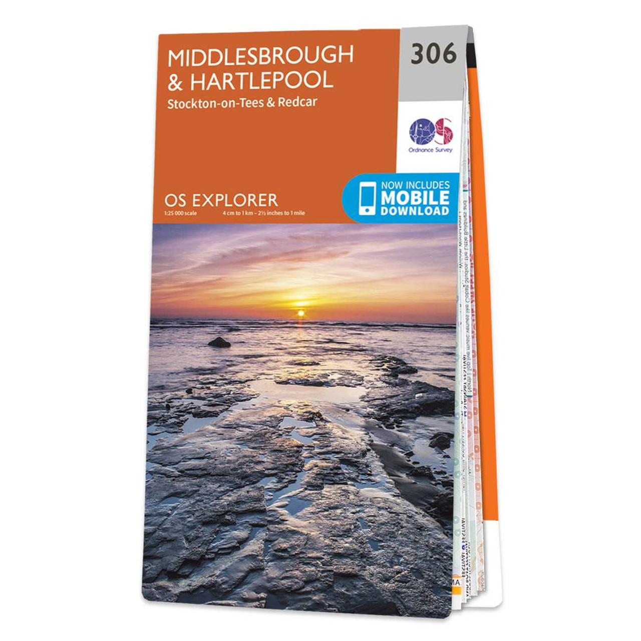
This is the OS Explorer 1:25 000 scale map of Middlesbrough & Hartlepool : Explorer Map 306. It includes Stockton-on-Tees, Redcar , Durham, Bishopsgarth, the Durham Coast Path, Linthorpe, Marske-By-The-Sea and more. This map scale is ideal for walking...
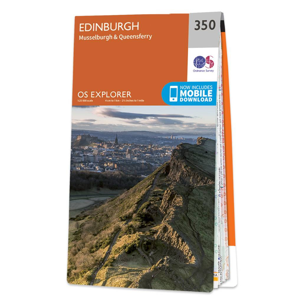
Map of Edinburgh - OS Explorer Map 350 (Musselburgh & Queensferry) Standard Publication Date: 05/07/2017 Weatherproof Publication Date: 28/09/2017
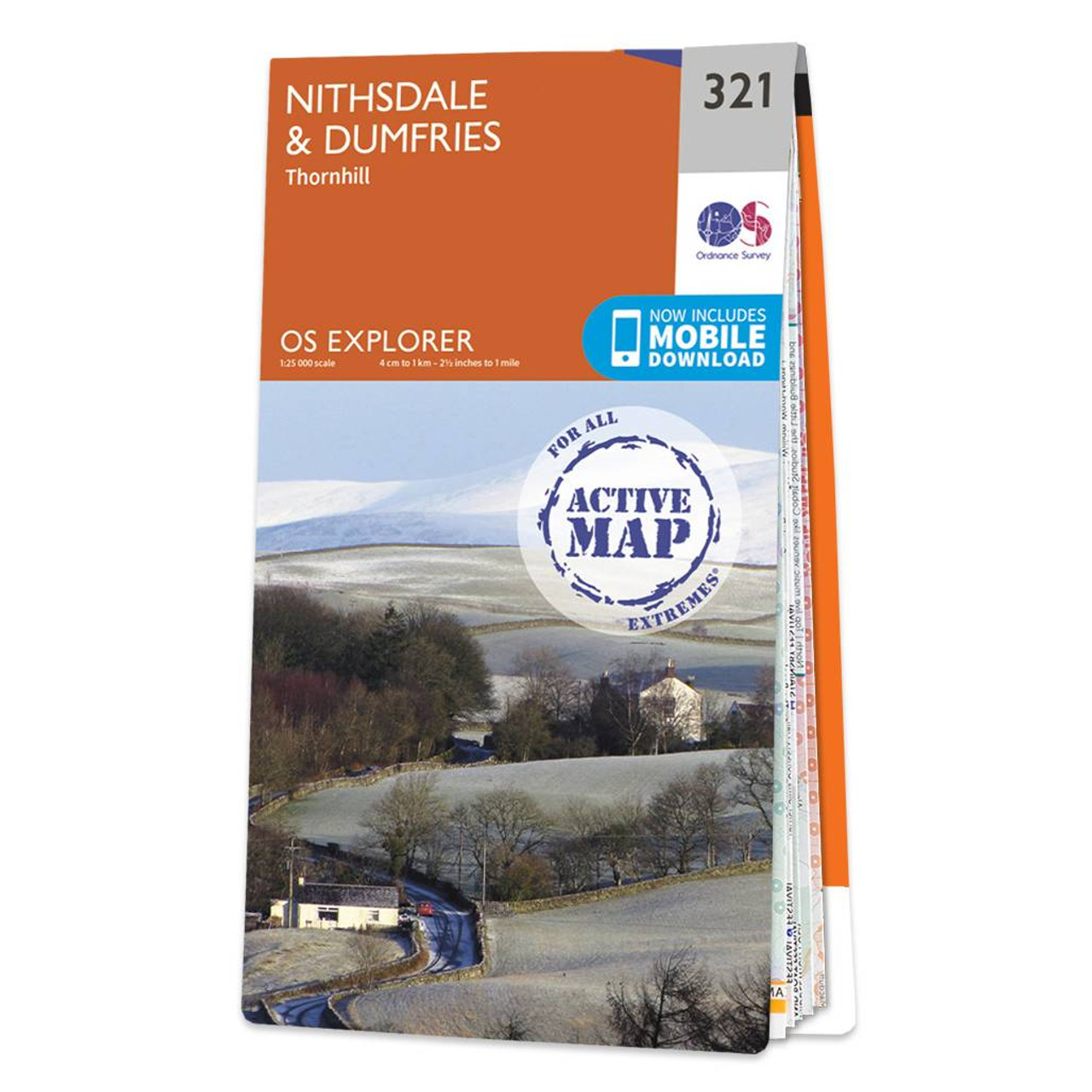
Map of Nithsdale & Dumfries - OS Explorer Map 321 (Thornhill) Format: Folded map Physical Size: 952 x 1270 mm (133 x 240 mm folded) Standard Publication Date: 16/09/2015 Weatherproof Publication Date: 16/09/2015
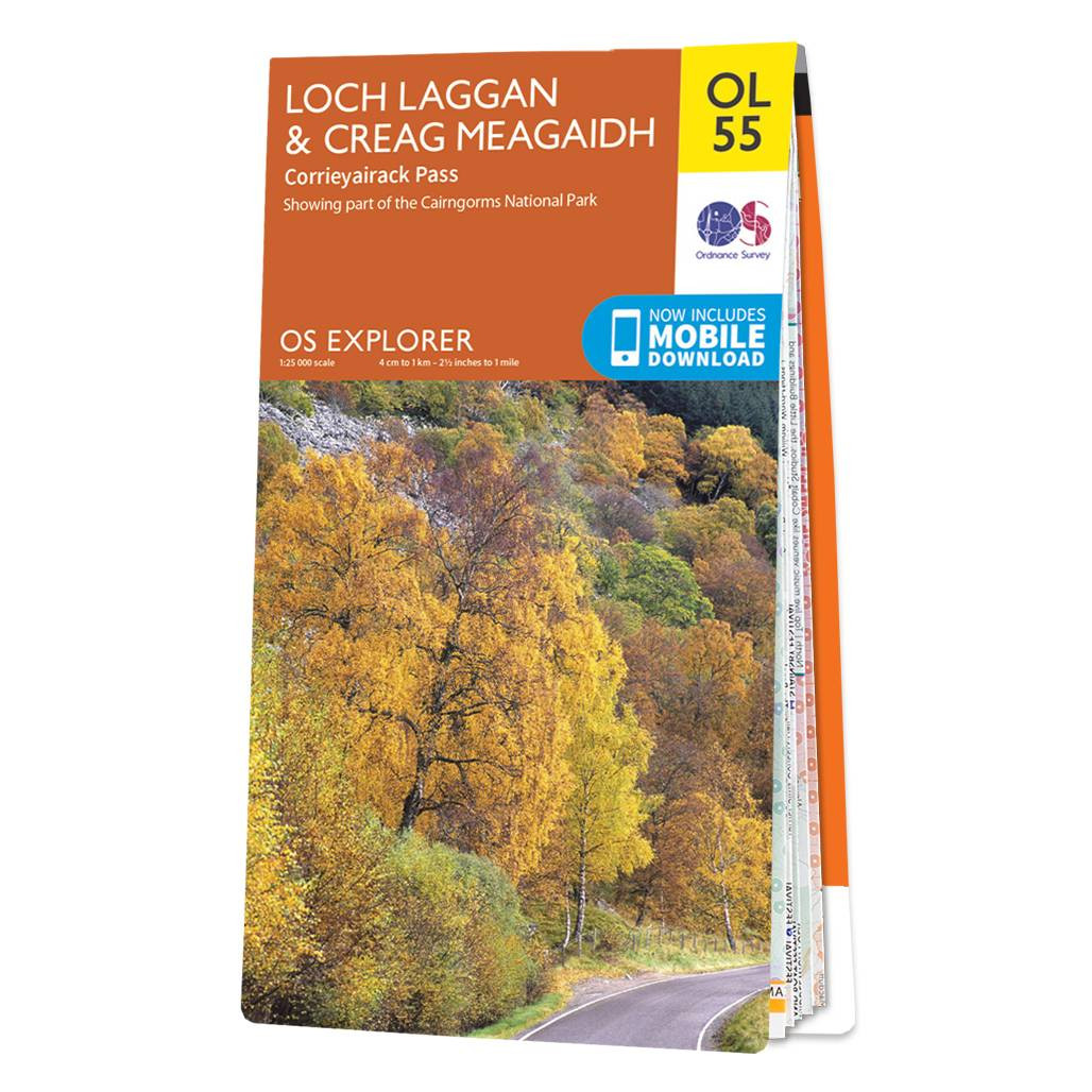
Map of Loch Laggan & Creag Meagaidh - OS Explorer Map OL 55 (Corrieyairick Pass) Standard Publication Date: 10/06/2015 Weatherproof Publication Date: 10/06/2015
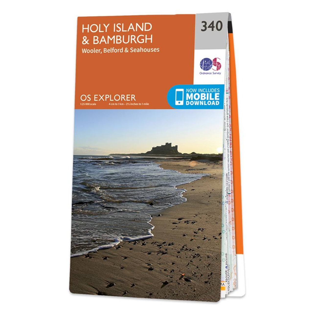
Take an adventure to Holy Island and Bamburgh with OS Explorer 340. Steeped in history and renowned for its stunning views and forests, it's no secret why the area attracts so many visitors.Drift over to the Farne Islands where you can spot Puffins during...
|
|