|
|
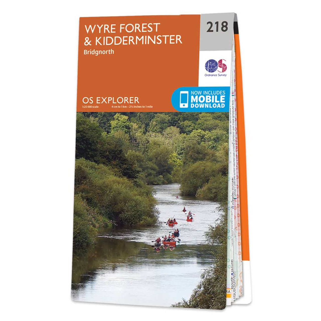
Map of Kidderminster & Wyre Forest - OS Explorer Map 218 (Bridgnorth) Format: Folded map Physical Size: 952 x 1270 mm (133 x 240 mm folded) Standard Publication Date: 05/12/2023 Weatherproof Publication Date: 26/06/2024
Price: £12.99 from Ordnance Survey
| Retailer | Price | |
|---|---|---|
| Ordnance Survey | £12.99 | Go to shop |
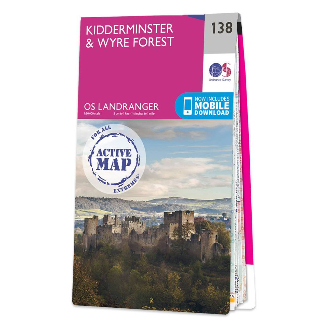
Kidderminster & Wyre Forest map - OS Landranger 138 Format: Folded map Physical Size: 1000 x 890 mm (134 x 227 mm folded) Standard Publication Date: 01/06/2018 Weatherproof Publication Date: 25/06/2018
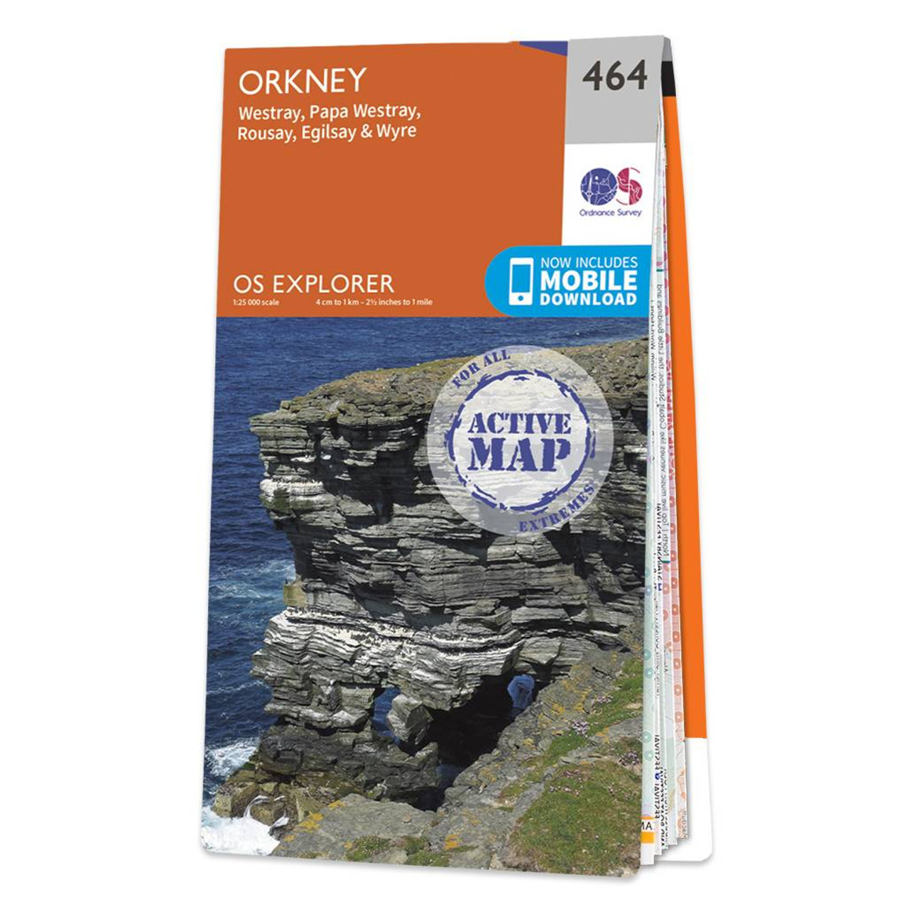
Map of Orkney - Westray, Papa Westray, Rousay, Egilsay & Wyre - OS Explorer Map 464 Format: Folded map Physical Size: 952 x 1270 mm (133 x 240 mm folded) Standard Publication Date: 16/09/2015 Weatherproof Publication Date: 16/09/2015
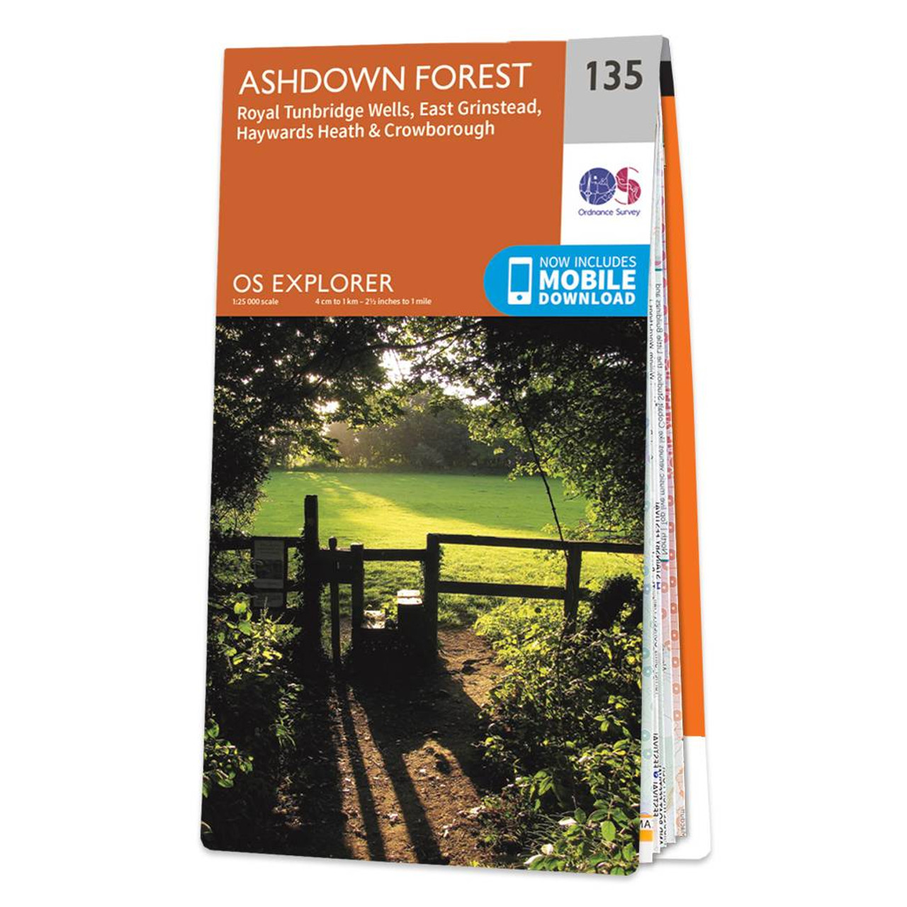
The OS Explorer Ashdown Forest map gives you everything you need to explore Ashdown Forest, Royal Tunbridge Wells, East Grinstead, Haywards Heath, Crowborough, Uckfield, Heathfield, and the High Weald. Discover the inspiration for the 'Hundred acre woods,'...
|
|