|
|
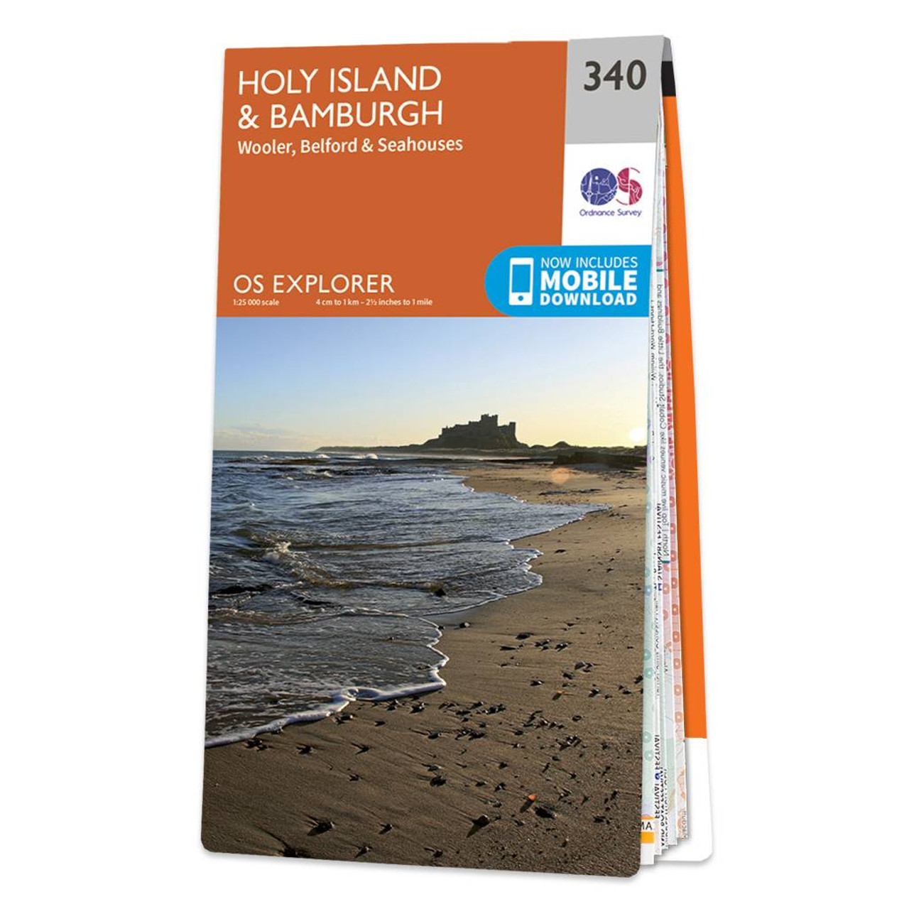
Take an adventure to Holy Island and Bamburgh with OS Explorer 340. Steeped in history and renowned for its stunning views and forests, it's no secret why the area attracts so many visitors.Drift over to the Farne Islands where you can spot Puffins during the 'Puffin Season' (April - July). Take a stroll along the coast of Seahouses, a stunning village and part of 'The Northumberland Coast AONB'. If walking is your bag, why not trek through the 'Gateway to the Cheviots' AKA Wooler.Of course Holy Island & Bamburgh should be visited when exploring the area.OS Explorer maps are perfect for day-tripping, extensive hikes, and cycling. They come in both standard and Weatherproof Active, so you'll never get caught out in a storm. Standard Publication Date: 30/06/2025 Weatherproof Publication Date: 01/03/2021
Price: £12.99 from Ordnance Survey
| Retailer | Price | |
|---|---|---|
| Ordnance Survey | £12.99 | Go to shop |
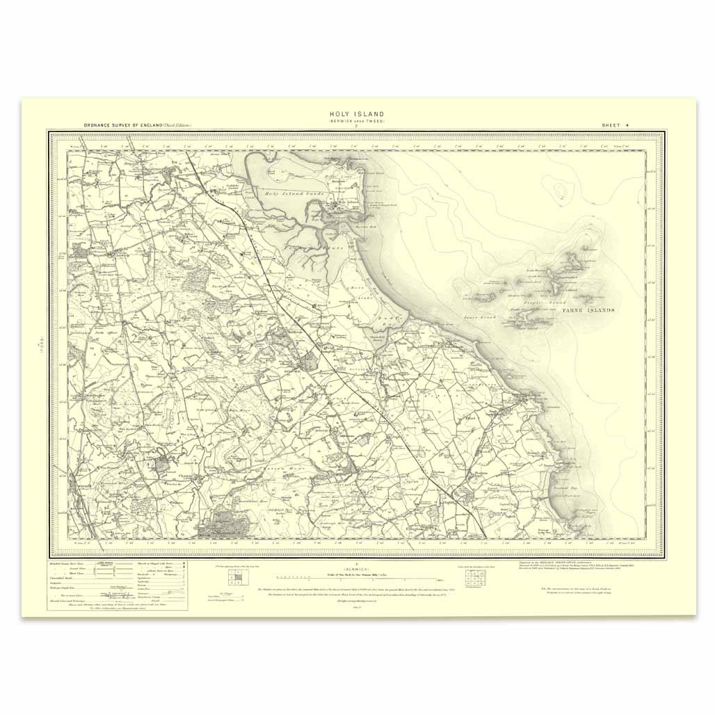
An authentic reproduction Ordnance Survey map of Holy Island from the Revised New Edition, 1896 to 1904. Printed flat, and delivered rolled in a tube. About our range of historical maps Our stunning Ordnance Survey Historical Maps make ideal gifts. Perfect...
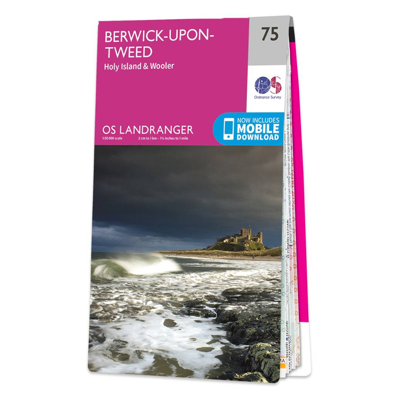
The Landranger map of Berwick-upon-Tweed, including Holy Island and Wooler is a must-have for your next trip to the area.Located close to the Scottish border, Berwick-upon-Tweed is the Northern-most town in England. There is an abundance of attractions...

Map of Helmsdale & Strath of Kildonan - OS Explorer Map 444 Format: Folded map Physical Size: 1000 x 890 mm (134 x 227 mm folded) Standard Publication Date: 16/09/2015 Weatherproof Publication Date: 16/09/2015
|
|