|
|
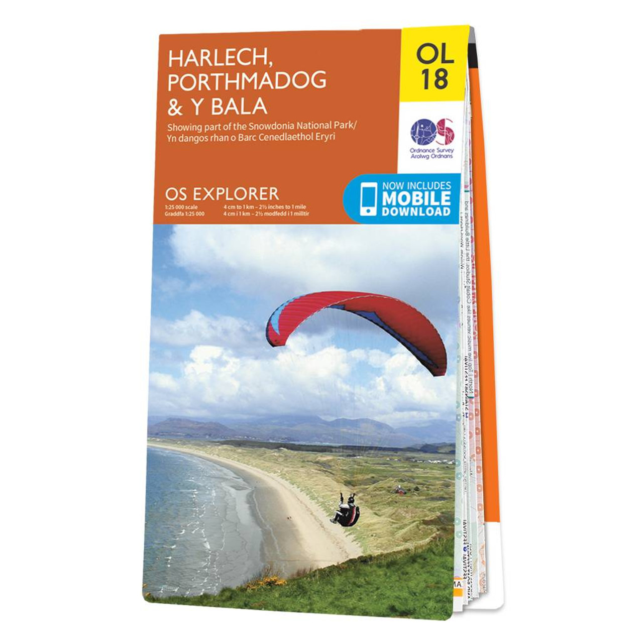
Croeso!The OS Explorer map of Harlech, Porthmadog, & Y Bala is a must-have when visiting the area!Where the land meets the sea; explore grassy meadows, picturesque scenes of grazing sheep, dense woodlands, and beautiful beaches.Gaze across the sea from Harlech Castle, encounter the usual yet enchanting Portmeririon village, and enjoy the harbour side town of Porthmadog. Our Explorer maps are perfect for day-tripping, extensive hikes, and cycling. They come in both standard and Weatherproof Active — so you'll never get caught out in a storm. This map also comes with a free digital download, so you can access it across your devices, making for a convenient companion. Standard Publication Date: 18/02/2019 Weatherproof Publication Date: 18/02/2019
Price: £12.99 from Ordnance Survey
| Retailer | Price | |
|---|---|---|
| Ordnance Survey | £12.99 | Go to shop |
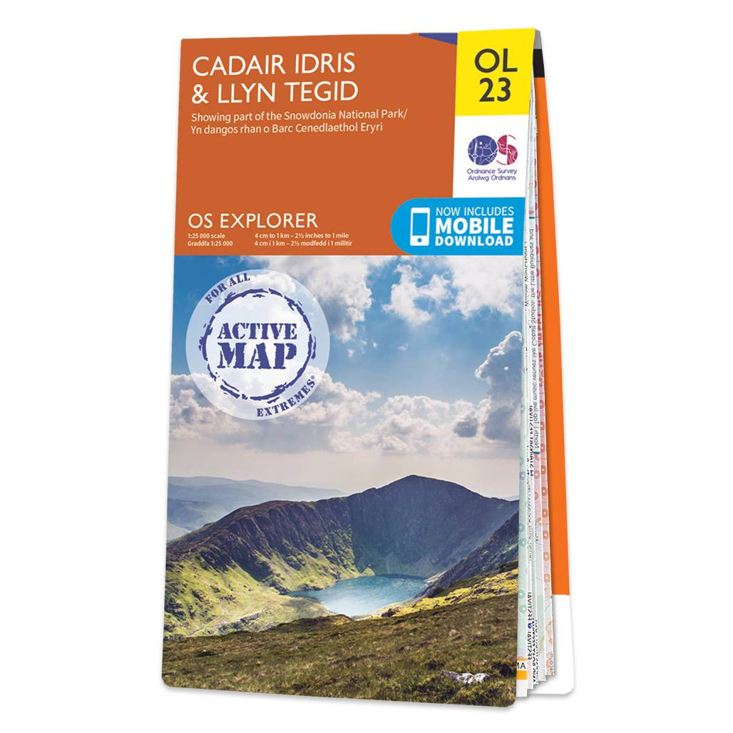
The OS Explorer map of Cadair Idris & Llyn Tegid (Bala Lake) is a must-have for your next trip to the this area of Snowdonia National Park.The mountain range of Cadair Idris is popular with hikers and people looking for challenging terrain to explore....

The Landranger map of Porthmadog & Dolgellau is a must-have for your next trip to the area. Landranger maps are perfect for extensive hikes, cycling, and driving holidays. The perfect tool for planning days out or holidays to Cardigan bay and the surrounding...

An authentic reproduction Ordnance Survey map of Bala from the Revised New Edition, 1896 to 1904. Printed flat, and delivered rolled in a tube. About our range of historical maps Our stunning Ordnance Survey Historical Maps make ideal gifts. Perfect for...
|
|