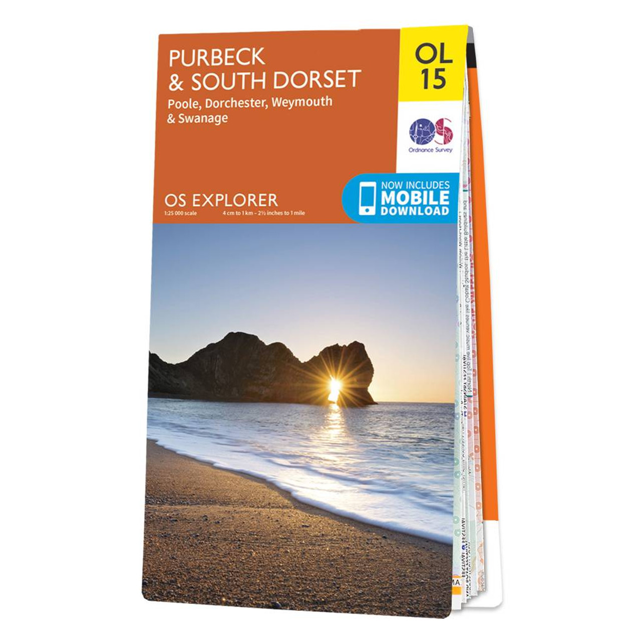
The OS Explorer map of Purbeck and South Dorset is perfect for planning your next trip to the area. The Jurassic coast draws in many outdoor enthusiasts, not purely for its sheer beauty but its history too. South Dorset is full of stunning countryside...

The OS Explorer map of Brecon Beacon National Park, Eastern Area.This a must-have when visiting this stunning area of open green landscapes, nature reserves, and waterfalls.There is so much to explore, such as the remains of Crickhowell Castle, a grade...
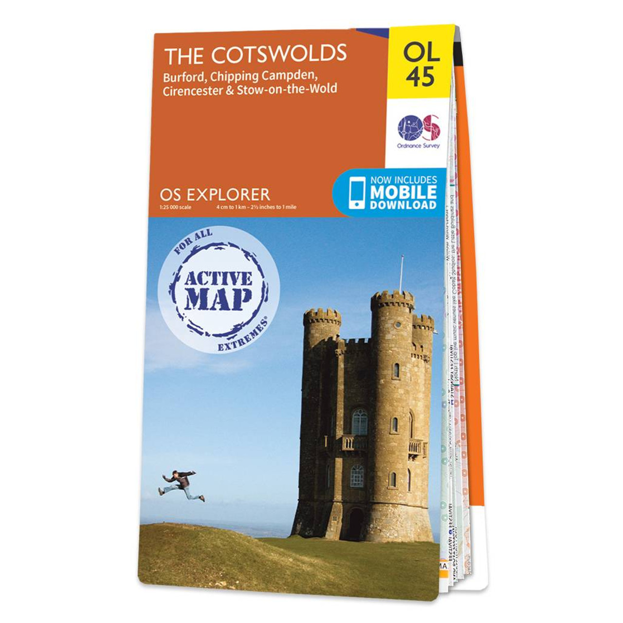
The OS Explorer map of the Cotswolds, includes Burford, Chipping Campden, Cirencester, and Stow-on-the-wold. This map is the perfect companion when visiting the Cotswolds AONB. Explore the rolling hills and green meadows, adventure into the Wychwood Community...

The OS Explorer map of Brecon Beacon National Park, Eastern Area.This a must-have when visiting this stunning area of open green landscapes, nature reserves, and waterfalls.There is so much to explore, such as the remains of Crickhowell Castle, a grade...
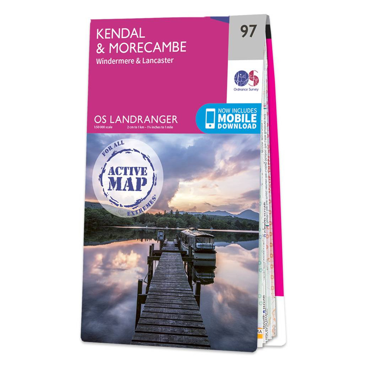
Kendal & Morecambe (inc. Windermere & Lancaster) map - OS Landranger 97 Standard Publication Date: 27/03/2017 Standard Publication Date: 27/03/2017
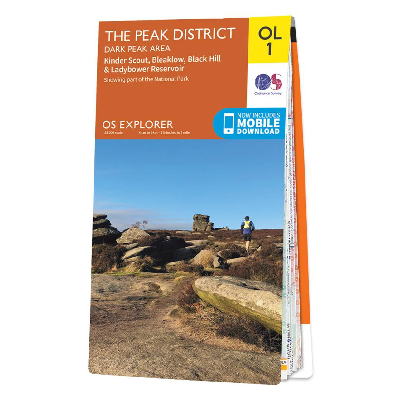
The OS Explorer map of The Peak District: Dark Peak, is a must-have when visiting the Dark Peak Area of the Peak District. Famous for its vast exposed moorlands, waves of plateauing gritstone, feather bed bogs covered in cotton grass, and heather moors,...
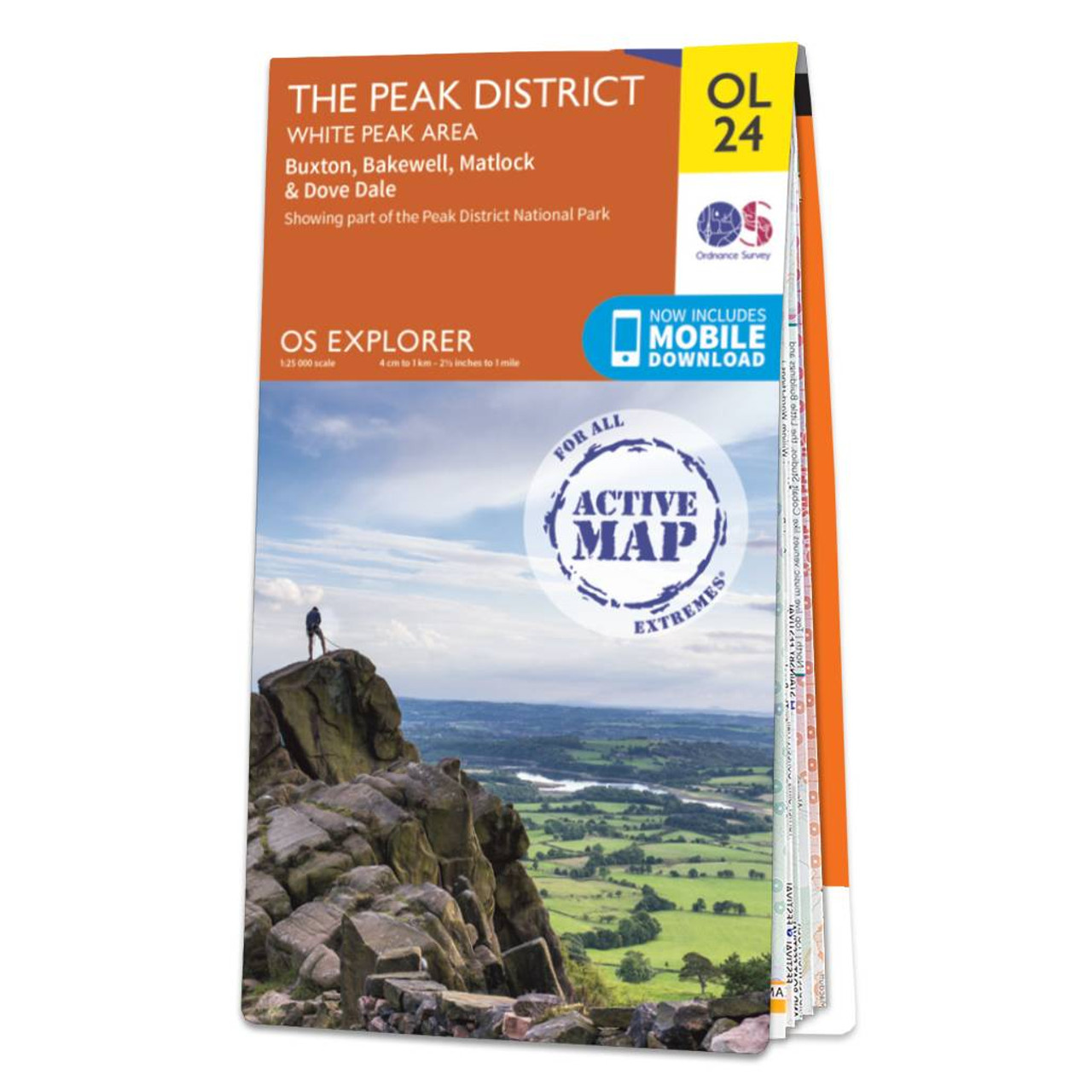
Encounter beautiful countryside, distinctive drystone walls and quaint British villages such as Buxton & Bakewell. Treat yourself to the famous Bakewell tart, discover the stunning limestone landscape, and explore caves and gorges that inspired the name...

Exeter & Sidmouth (inc. Exmouth & Teignmouth) map - OS Landranger 192 Standard Publication Date: 18/07/2019 Weatherproof Publication Date: 14/08/2019

Map of Ipswich, Felixstowe & Harwich - OS Explorer Map 197 (Woodbridge & Manningtree) Standard Publication Date: 16/09/2015 Weatherproof Publication Date: 16/09/2015
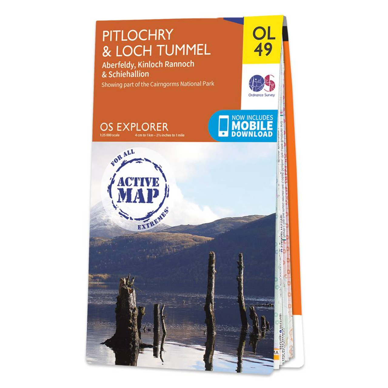
Map of Pitlochry & Loch Tummel - OS Explorer Map OL 49 (Aberfeldy, Kinloch Rannoch & Schiehallion) Format: Folded map Physical Size: 890 x 1000 mm (134 x 227 mm folded) Standard Publication Date: 10/06/2015 Weatherproof Publication Date: 10/06/2015
|
|