|
|
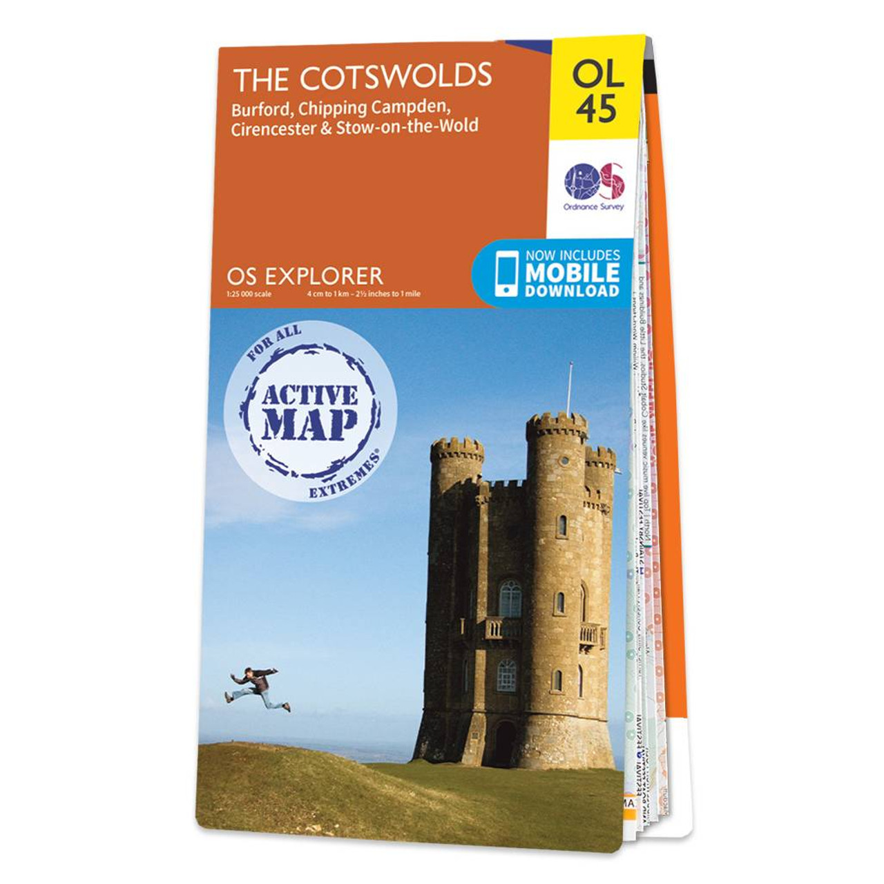
The OS Explorer map of the Cotswolds, includes Burford, Chipping Campden, Cirencester, and Stow-on-the-wold. This map is the perfect companion when visiting the Cotswolds AONB. Explore the rolling hills and green meadows, adventure into the Wychwood Community Forest — a Site of Special Scientific Interest, or take a calming and idyllic stroll along the Cotswold Way.Our OS Explorer maps are perfect for day-tripping, extensive hikes, and cycling. They come in both standard and Weatherproof Active, so you'll never get caught out in a storm. This map also comes with a free digital download, so you can access it across your devices — making for a more convenient companion. Format: Folded map Physical Size: 953 x 1270 mm (134 x 227 mm folded) Standard Publication Date: 10/02/2023 Weatherproof Publication Date: 28/03/2023
Price: £16.99 from Ordnance Survey
| Retailer | Price | |
|---|---|---|
| Ordnance Survey | £16.99 | Go to shop |

The Cotswolds and Gloucestershire OS Tour map: 1:100,000 tourist map Format: Folded map Physical Size: 1270 x 952 mm (133 x 240 mm folded) Publication Date: 24/2/2016

Map of Helmsdale & Strath of Kildonan - OS Explorer Map 444 Format: Folded map Physical Size: 1000 x 890 mm (134 x 227 mm folded) Standard Publication Date: 16/09/2015 Weatherproof Publication Date: 16/09/2015

Map of Coll & Tiree - OS Explorer Map 372 Format: Folded map Physical Size: 1000 x 890 mm (134 x 227 mm folded) Standard Publication Date: 16/09/2015 Weatherproof Publication Date: 16/09/2015
|
|