|
|
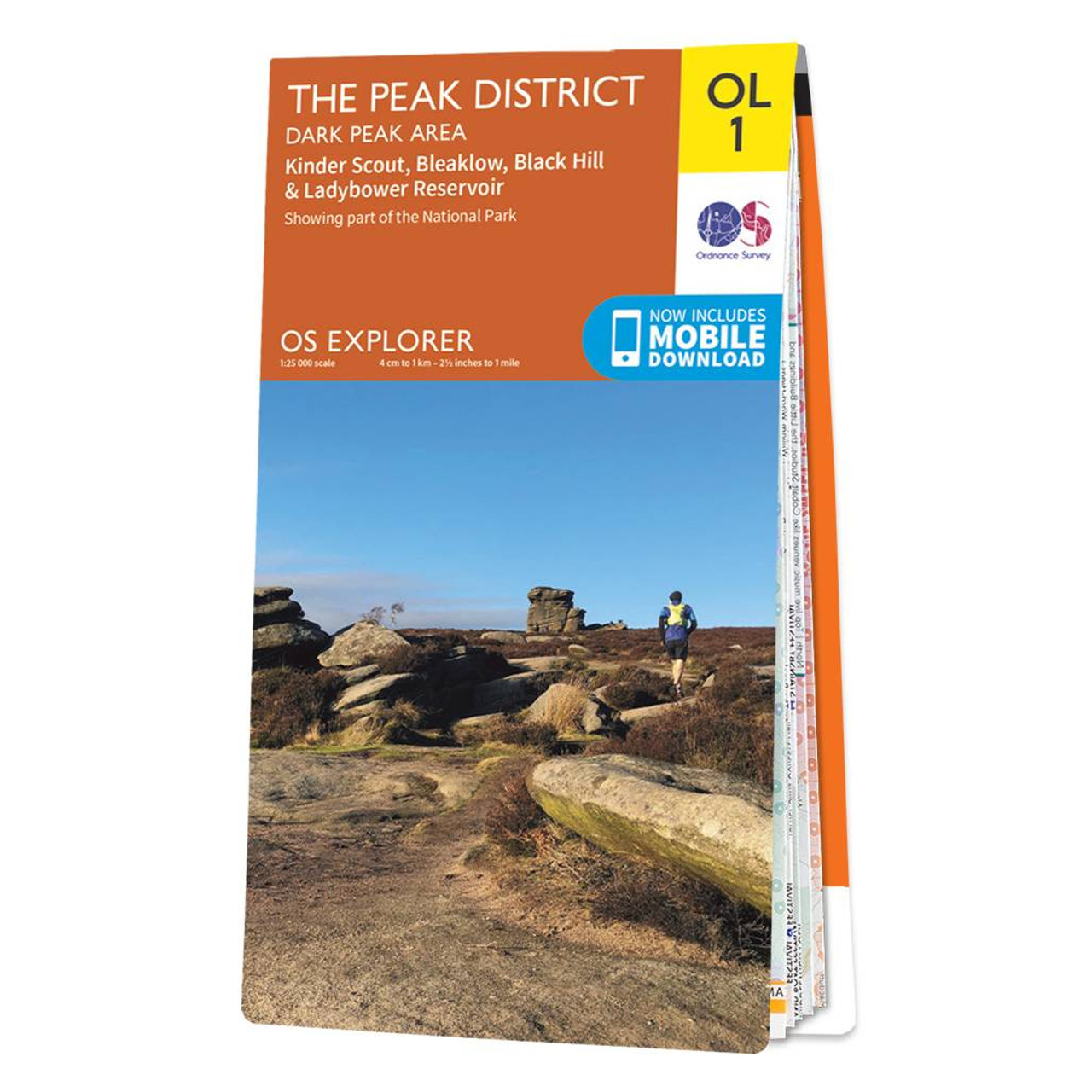
The OS Explorer map of The Peak District: Dark Peak, is a must-have when visiting the Dark Peak Area of the Peak District. Famous for its vast exposed moorlands, waves of plateauing gritstone, feather bed bogs covered in cotton grass, and heather moors, the Peak District has walk and hikes in abundance. Below the moorland are oak-birch woods and steep valleys covered in interlocking blocks of coniferous plantation - a picturesque place of tranquillity. Highlights of this walking map include: Kinder Scout, Bleaklow, Black Hill, and Ladybower Reservoir.Our OS Explorer maps are perfect for day-tripping, longer hikes and cycling. They come in both standard and Weatherproof Active, so you'll never get caught out in a storm. Standard Publication Date: 24/06/2019 Weatherproof Publication Date: 10/06/2019
Price: £12.99 from Ordnance Survey
| Retailer | Price | |
|---|---|---|
| Ordnance Survey | £12.99 | Go to shop |
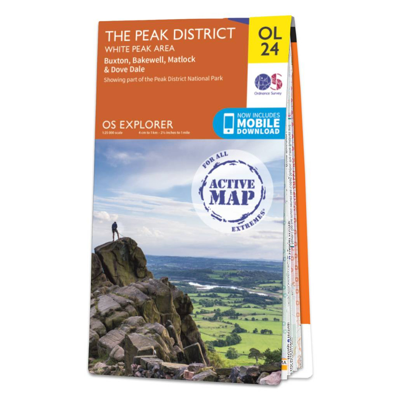
Encounter beautiful countryside, distinctive drystone walls and quaint British villages such as Buxton & Bakewell. Treat yourself to the famous Bakewell tart, discover the stunning limestone landscape, and explore caves and gorges that inspired the name...

Peak District and Derbyshire OS Tour map 4. A 1:100,000 scale tourist map showing road, rail and key tourism features.

The OS Explorer map of the English Lakes, North-Eastern Area, including Penrith, Patterdale, & Caldbeck.This a must-have when visiting the North-Eastern area of the Lakes, whether you're looking to explore the Castle at Penrith or the beautifully green...
|
|