|
|
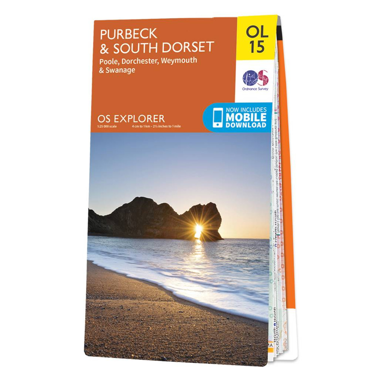
The OS Explorer map of Purbeck and South Dorset is perfect for planning your next trip to the area. The Jurassic coast draws in many outdoor enthusiasts, not purely for its sheer beauty but its history too. South Dorset is full of stunning countryside — perfect for walking and cycling.Explore the Purbeck Peninsula, with its steep cliffs and sandy beaches. Discover fossils and a melange of sea-life too. Out on the flats you can enjoy spotting red squirrels, sika deer, kingfishers, oystercatchers, and an abundance of quintessentially British fauna.Our Explorer maps come in both standard and weather proof, so you'll never get caught out in a storm. Standard Publication Date: 04/11/2024 Weatherproof Publication Date: 29/08/2024
Price: £12.99 from Ordnance Survey
| Retailer | Price | |
|---|---|---|
| Ordnance Survey | £12.99 | Go to shop |
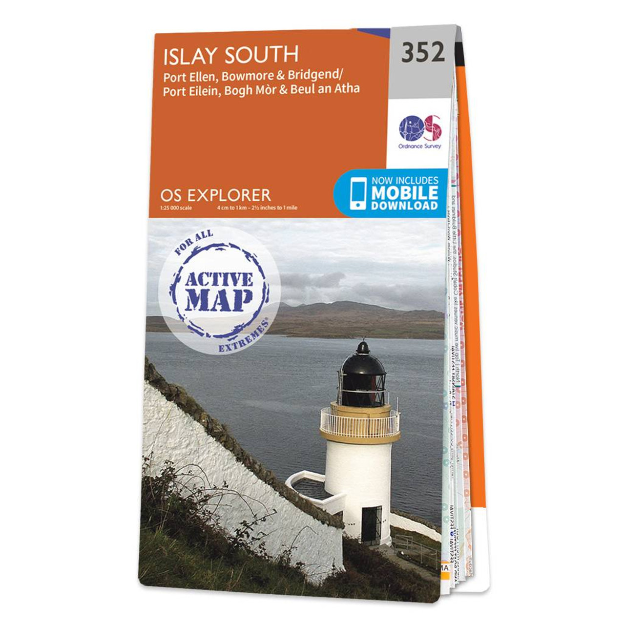
Map of Islay South - OS Explorer Map 352 (Port Ellen, Bowmore & Bridgend) Format: Folded map Physical Size: 952 x 1270 mm (133 x 240 mm folded) Standard Publication Date: 16/09/2015 Weatherproof Publication Date: 16/09/2015

Map of Kintyre South - OS Explorer Map 356 (Campbeltown) Format: Folded map Physical Size: 890 x 1000 mm (134 x 227 mm folded) Standard Publication Date: 16/09/2015 Weatherproof Publication Date: 16/09/2015

Map of London South - OS Explorer Map 161 (Westminster, Greenwich, Croydon, Esher & Twickenham) Standard Publication Date: 16/09/2015 Weatherproof Publication Date: 16/09/2015
|
|