|
|
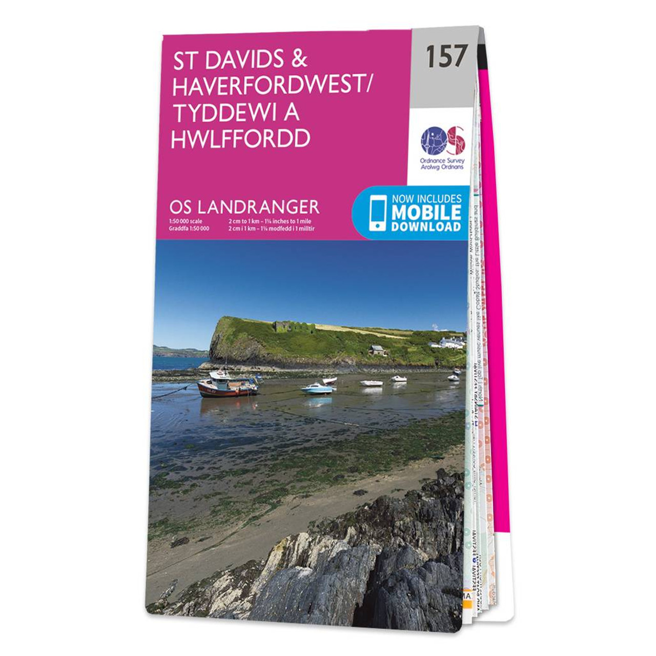
The Landranger map of St Davids & Haverfordwest is a must-have for your next trip to the area. Landranger maps are perfect for extensive hikes, cycling, and driving holidays.Ideal for planning days out or holidays, a strong feature of this map is the Pembrokeshire Coast Path that follows the iconic coastline around the headland and St Brides Bay, passing through the traditional Welsh towns of Pembroke, Milford haven, Haverfordwest, St. Davids, and Goodwick. Other places of interest on this map include St. Davids Cathedral, the stunning Whitesands Bay, Ramsey, Skokholm, and Skomer Islands.Our Landranger maps come in standard or Weatherproof Active, you'll also receive a free download for your devices — making for a convenient companion. Standard Publication Date: 24/02/2016 Weatherproof Date: 24/02/2016
Price: £12.99 from Ordnance Survey
| Retailer | Price | |
|---|---|---|
| Ordnance Survey | £12.99 | Go to shop |

Coll & Tiree map - OS Landranger 46 Format: Folded map Physical Size: 1000 x 890 mm (134 x 227 mm folded) Standard Publication Date: 24/02/2016 Weatherproof Publication Date: 24/02/2016

Isle of Arran map - OS Landranger 69 Format: Folded map Physical Size: 1000 x 890 mm (134 x 227 mm folded) Standard Publication Date: 24/02/2016 Weatherproof Publication Date: 24/02/2016
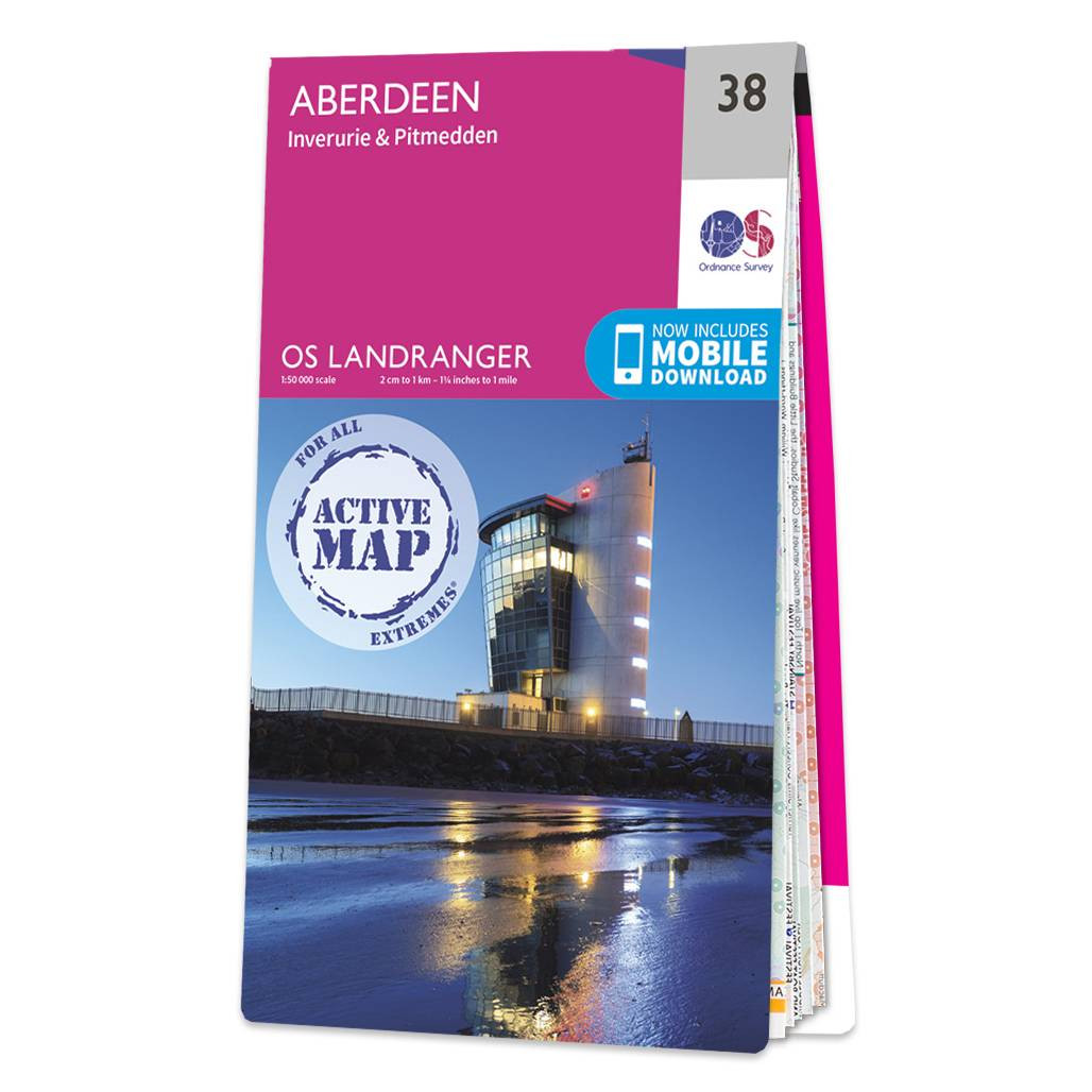
Aberdeen (inc. Inverurie & Pitmedden) map - OS Landranger 38 Format: Folded map Physical Size: 1000 x 890 mm (134 x 227 mm folded) Standard Publication Date: 05/08/2019 Weatherproof Publication Date: 05/08/2019
|
|