|
|
Aberdeen (inc. Inverurie & Pitmedden) map - OS Landranger 38 Format: Folded map Physical Size: 1000 x 890 mm (134 x 227 mm folded) Standard Publication Date: 05/08/2019 Weatherproof Publication Date: 05/08/2019
Price: £16.99 from Ordnance Survey
| Retailer | Price | |
|---|---|---|
| Ordnance Survey | £16.99 | Go to shop |

Coll & Tiree map - OS Landranger 46 Format: Folded map Physical Size: 1000 x 890 mm (134 x 227 mm folded) Standard Publication Date: 24/02/2016 Weatherproof Publication Date: 24/02/2016

Isle of Arran map - OS Landranger 69 Format: Folded map Physical Size: 1000 x 890 mm (134 x 227 mm folded) Standard Publication Date: 24/02/2016 Weatherproof Publication Date: 24/02/2016
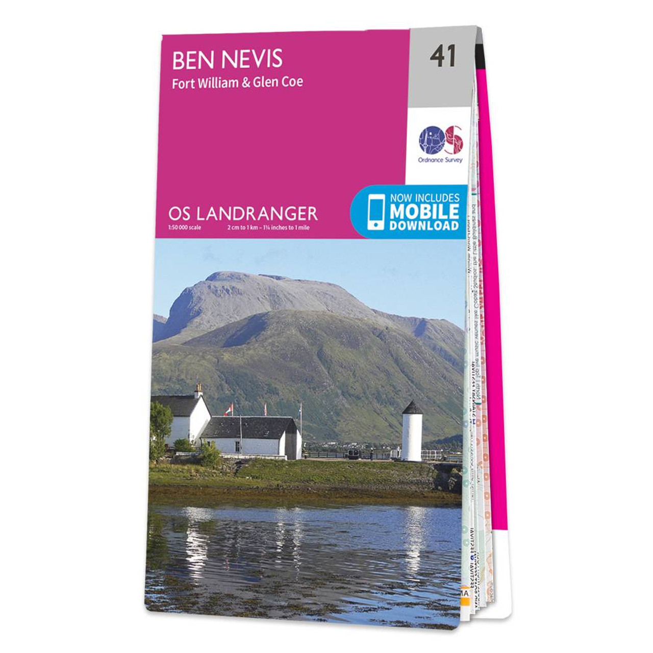
The OS Landranger map of Ben Nevis (including Fort William & Glen Coe) is a must-have for your next trip to the area.The area is famous for its challenging walks paid off by spectacular views. Explore Glen Coe, full of dramatic scenery due to the glen's...
|
|