|
|

Isle of Arran map - OS Landranger 69 Format: Folded map Physical Size: 1000 x 890 mm (134 x 227 mm folded) Standard Publication Date: 24/02/2016 Weatherproof Publication Date: 24/02/2016
Price: £16.99 from Ordnance Survey
| Retailer | Price | |
|---|---|---|
| Ordnance Survey | £16.99 | Go to shop |
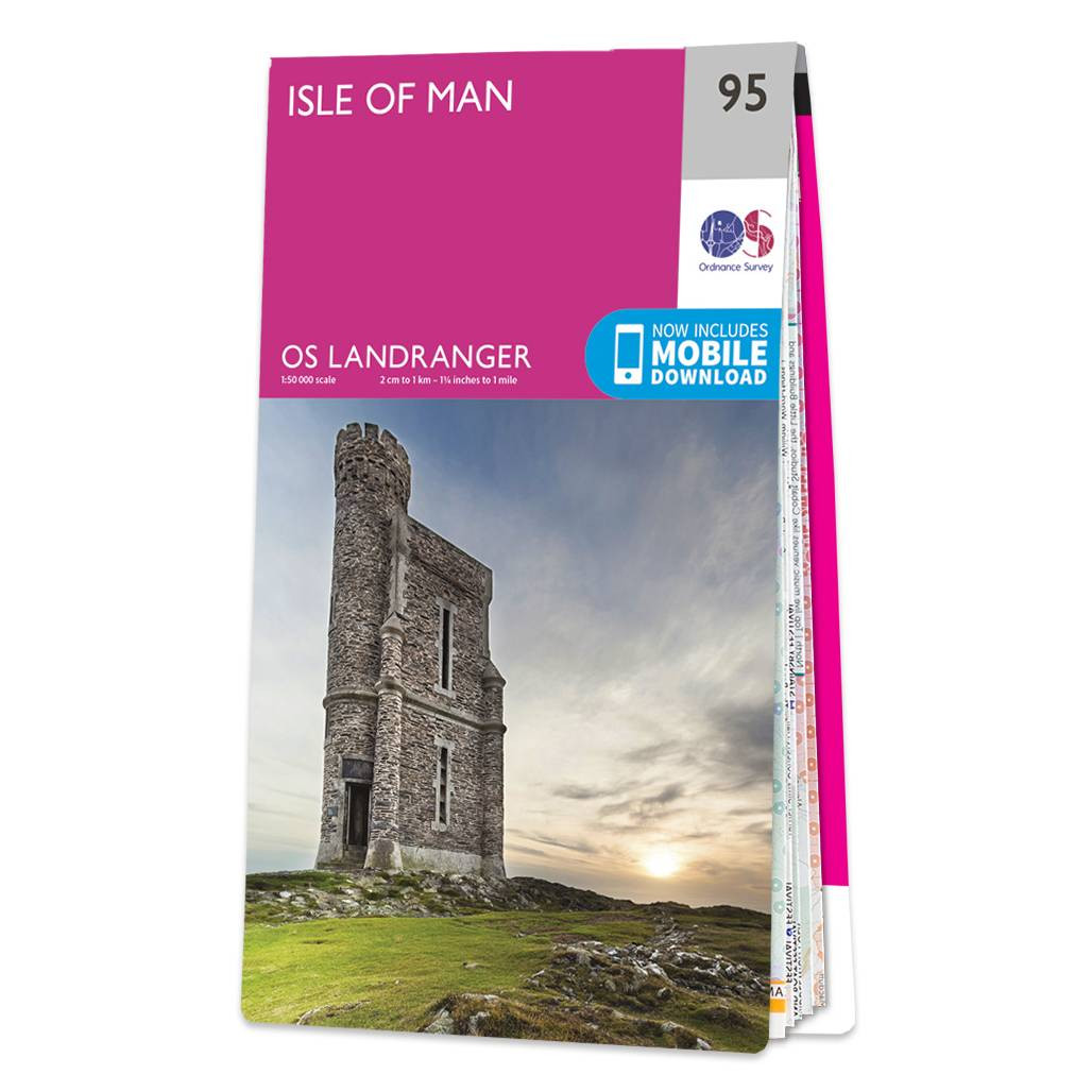
The Landranger map of the Isle of Man is a must-have for your next trip to the area. Landranger maps are perfect for extensive hikes, cycling, and driving holidays. Ideal for planning days out or holidays on the Isle of Man, this man includes Douglas,...
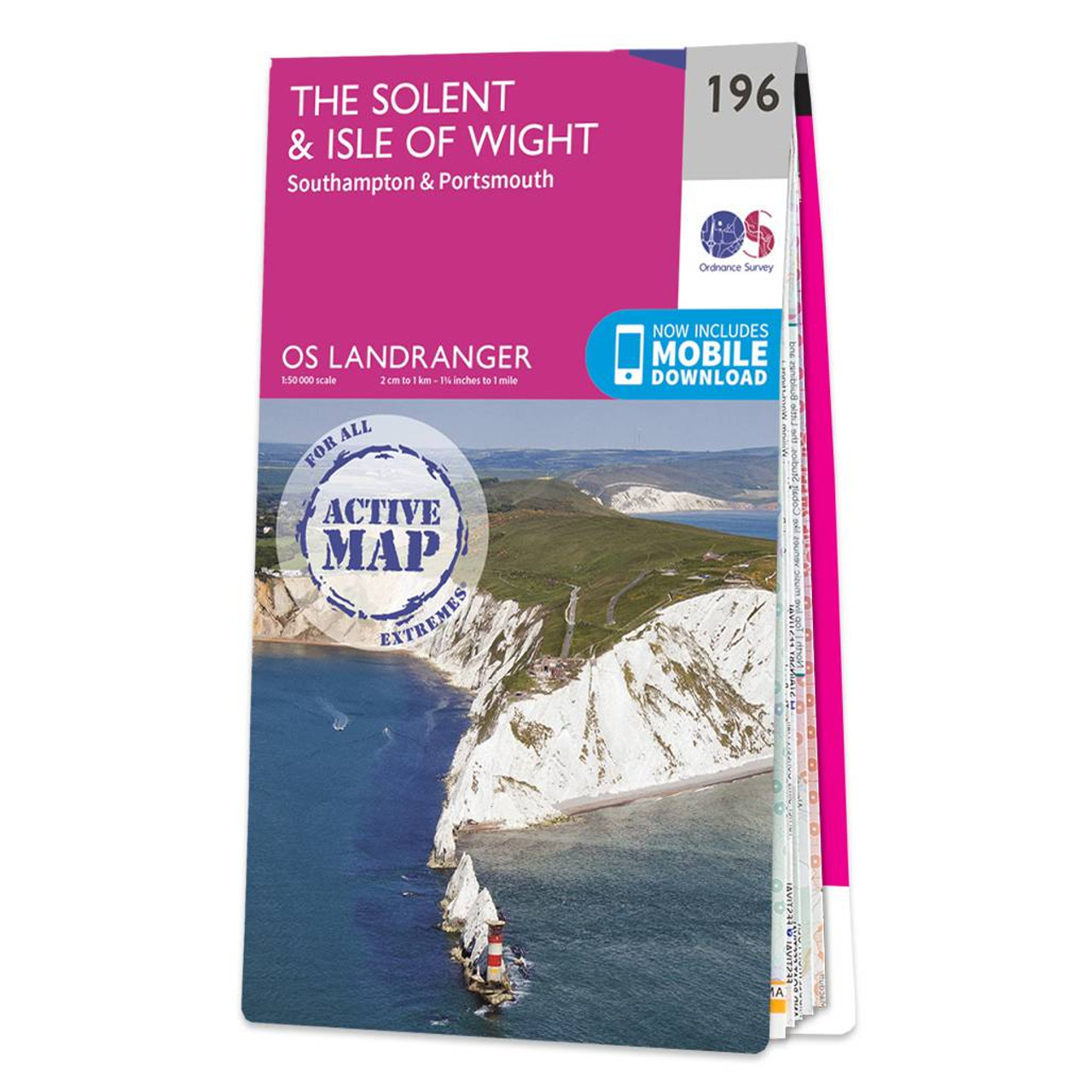
The Solent & Isle of Wight Landranger map is a must-have companion, be it for a day trip or holiday.Accessing the Isle is and adventure in itself, you can take a car ferry from Portsmouth, Southampton, or Lymington. There is also a hovercraft for foot...

Coll & Tiree map - OS Landranger 46 Format: Folded map Physical Size: 1000 x 890 mm (134 x 227 mm folded) Standard Publication Date: 24/02/2016 Weatherproof Publication Date: 24/02/2016
|
|