|
|

The Landranger map of Porthmadog & Dolgellau is a must-have for your next trip to the area. Landranger maps are perfect for extensive hikes, cycling, and driving holidays. The perfect tool for planning days out or holidays to Cardigan bay and the surrounding area.Porthmadog is frequently named the gateway to Snowdonia National Park — with stunning beaches complimented by the majestic Snowdonia Mountains as a backdrop. To the South lies the charming town of Dolgellau, that sits at the foot of the Cader Idris Mountain range. Both towns are a great base for exploring Snowdonia and for watching the rich array of wildlife.Our Landranger maps come in standard or Weatherproof Active, you'll also receive a free download for your devices — making for a convenient companion. Standard Publication Date: 06/12/2018 Weatherproof Publication Date: 10/01/2019
Price: £12.99 from Ordnance Survey
| Retailer | Price | |
|---|---|---|
| Ordnance Survey | £12.99 | Go to shop |
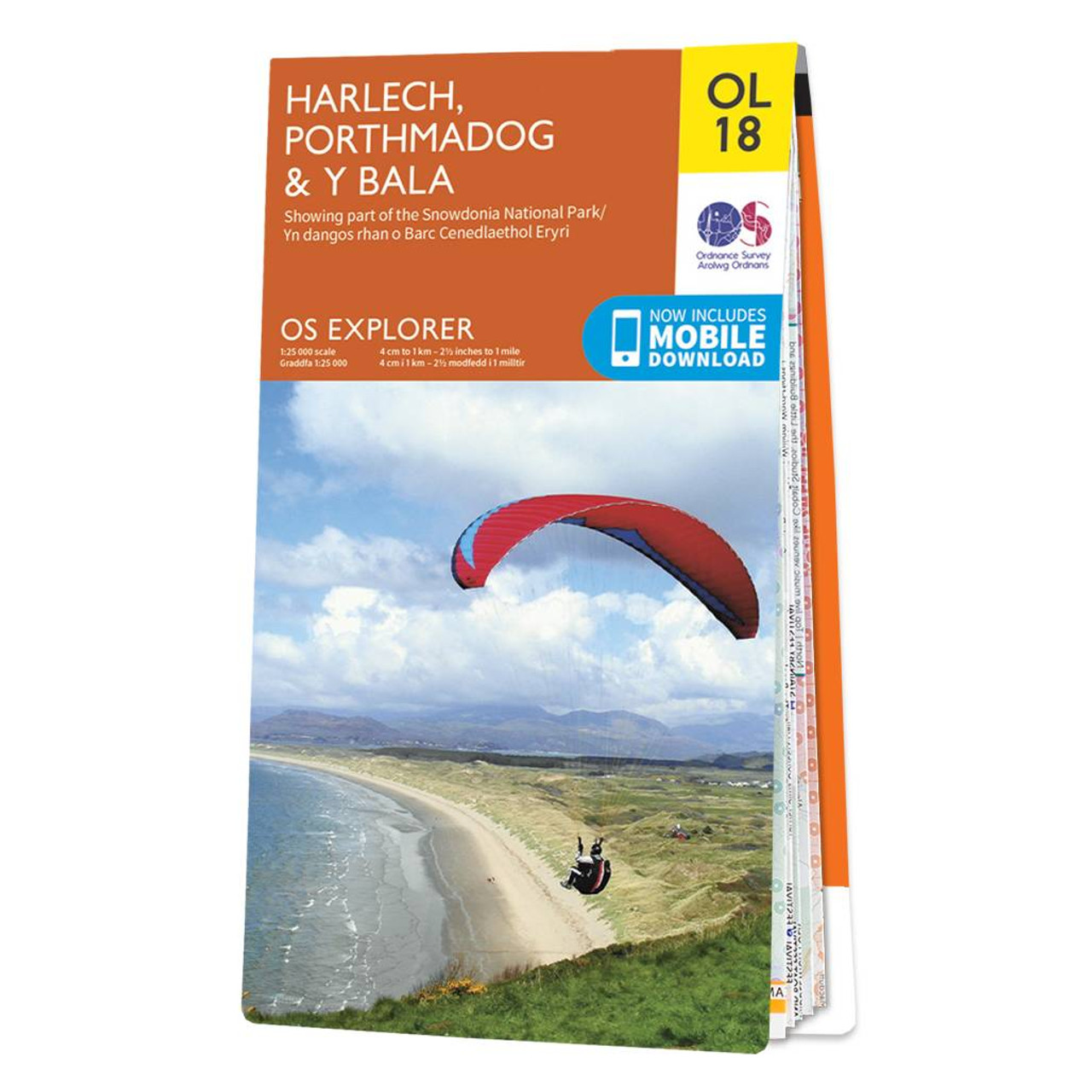
Croeso!The OS Explorer map of Harlech, Porthmadog, & Y Bala is a must-have when visiting the area!Where the land meets the sea; explore grassy meadows, picturesque scenes of grazing sheep, dense woodlands, and beautiful beaches.Gaze across the sea from...

Coll & Tiree map - OS Landranger 46 Format: Folded map Physical Size: 1000 x 890 mm (134 x 227 mm folded) Standard Publication Date: 24/02/2016 Weatherproof Publication Date: 24/02/2016

Isle of Arran map - OS Landranger 69 Format: Folded map Physical Size: 1000 x 890 mm (134 x 227 mm folded) Standard Publication Date: 24/02/2016 Weatherproof Publication Date: 24/02/2016
|
|