|
|

The Landranger map of Church Stretton & Ludlow, including Wenlock edge is ideal for planning days out or holidays in the area. Landranger maps are perfect for extensive hikes, cycling, and driving holidays. Explore this Area of Outstanding Natural Beauty, and the towns of Church Stretton and Ludlow. Take in the scenes of unspoilt countryside, hill forts, castles, farmers markets, and excellent walking and cycling opportunities on Offa's Dyke Path and Glyndwr's Way. Our Landranger maps come in standard or Weatherproof Active, you'll also receive a free download for your devices — making for a convenient companion. Format: Folded map Physical Size: 1125 x 890 mm (134 x 227 mm folded) Standard Publication Date: 28/03/2019 Weatherproof Publication Date: 02/05/2019
Price: £12.99 from Ordnance Survey
| Retailer | Price | |
|---|---|---|
| Ordnance Survey | £12.99 | Go to shop |
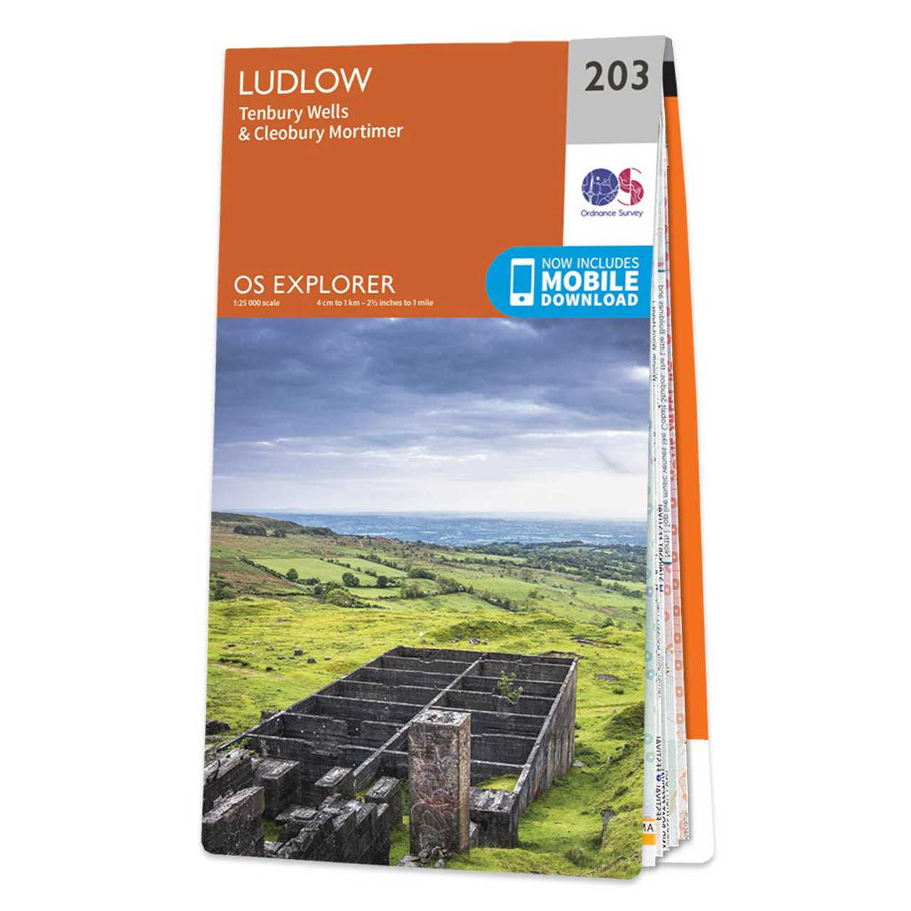
Map of Ludlow - OS Explorer Map 203 (Tenbury Wells & Cleobury Mortimer) Format: Folded map Physical Size: 1270 x 952 mm (133 x 240 mm folded) Standard Publication Date: 22/09/2023 Weatherproof Publication Date: 17/04/2024

Coll & Tiree map - OS Landranger 46 Format: Folded map Physical Size: 1000 x 890 mm (134 x 227 mm folded) Standard Publication Date: 24/02/2016 Weatherproof Publication Date: 24/02/2016

Isle of Arran map - OS Landranger 69 Format: Folded map Physical Size: 1000 x 890 mm (134 x 227 mm folded) Standard Publication Date: 24/02/2016 Weatherproof Publication Date: 24/02/2016
|
|