|
|
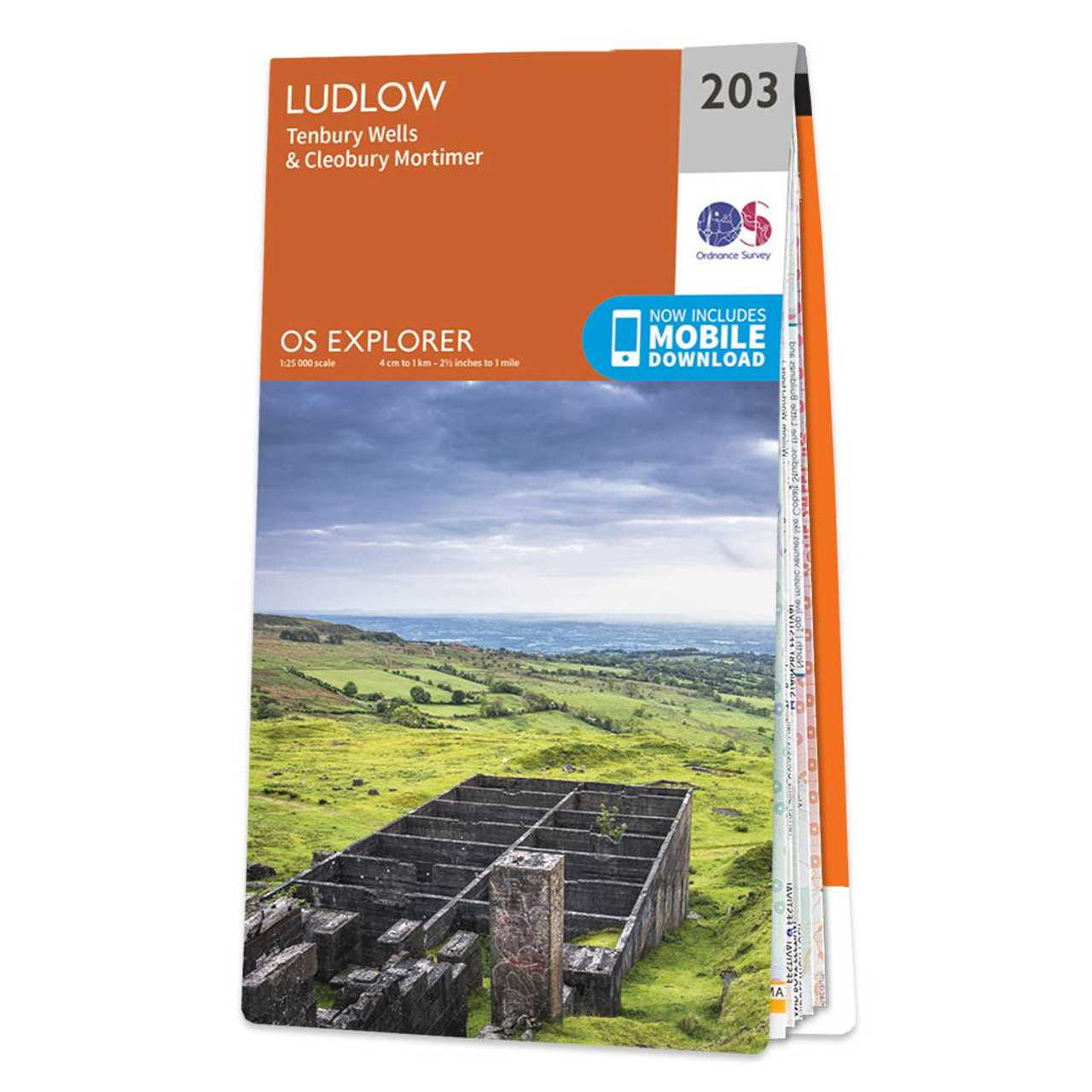
Map of Ludlow - OS Explorer Map 203 (Tenbury Wells & Cleobury Mortimer) Format: Folded map Physical Size: 1270 x 952 mm (133 x 240 mm folded) Standard Publication Date: 22/09/2023 Weatherproof Publication Date: 17/04/2024
Price: £12.99 from Ordnance Survey
| Retailer | Price | |
|---|---|---|
| Ordnance Survey | £12.99 | Go to shop |

The Landranger map of Church Stretton & Ludlow, including Wenlock edge is ideal for planning days out or holidays in the area. Landranger maps are perfect for extensive hikes, cycling, and driving holidays. Explore this Area of Outstanding Natural Beauty,...

Map of Helmsdale & Strath of Kildonan - OS Explorer Map 444 Format: Folded map Physical Size: 1000 x 890 mm (134 x 227 mm folded) Standard Publication Date: 16/09/2015 Weatherproof Publication Date: 16/09/2015

Map of Coll & Tiree - OS Explorer Map 372 Format: Folded map Physical Size: 1000 x 890 mm (134 x 227 mm folded) Standard Publication Date: 16/09/2015 Weatherproof Publication Date: 16/09/2015
|
|