|
|
Bournemouth & Purbeck (inc. Wimborne Minster & Ringwood) map - OS Landranger 195 Standard Publication Date: 04/10/2017 Weatherproof Publication Date: 04/12/2017
Price: £12.99 from Ordnance Survey
| Retailer | Price | |
|---|---|---|
| Ordnance Survey | £12.99 | Go to shop |
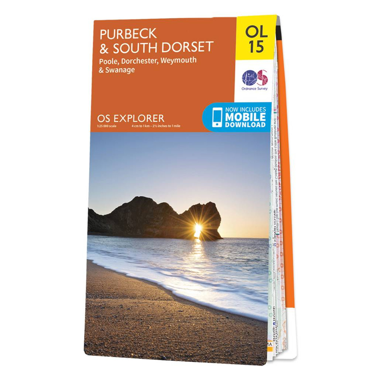
The OS Explorer map of Purbeck and South Dorset is perfect for planning your next trip to the area. The Jurassic coast draws in many outdoor enthusiasts, not purely for its sheer beauty but its history too. South Dorset is full of stunning countryside...

Coll & Tiree map - OS Landranger 46 Format: Folded map Physical Size: 1000 x 890 mm (134 x 227 mm folded) Standard Publication Date: 24/02/2016 Weatherproof Publication Date: 24/02/2016

Isle of Arran map - OS Landranger 69 Format: Folded map Physical Size: 1000 x 890 mm (134 x 227 mm folded) Standard Publication Date: 24/02/2016 Weatherproof Publication Date: 24/02/2016
|
|