|
|
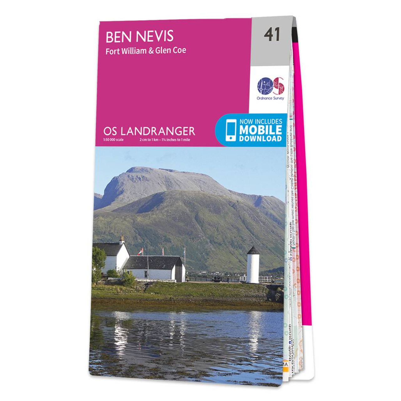
The OS Landranger map of Ben Nevis (including Fort William & Glen Coe) is a must-have for your next trip to the area.The area is famous for its challenging walks paid off by spectacular views. Explore Glen Coe, full of dramatic scenery due to the glen's volcanic origins.Some other major highlights are: Loch Treig, Glen Roy, Spean Bridge, and of course Ben Nevis itself.Ben Nevis is the highest peak in Britain at 1,345m, taking on average 7-9 hours to reach its summit.You can also ride the Nevis Mountain Range Gondola, the only of its kind in the Britain, reaching heights of 650m — allowing you to effortlessly enjoy the beautiful mountain range.Our Landranger maps come in weather proof options, and you'll also receive a free download for your devices; making for a convenient companion. Publication Date: 08/03/2021 Weatherproof Publication Date: 08/03/2021
Price: £12.99 from Ordnance Survey
| Retailer | Price | |
|---|---|---|
| Ordnance Survey | £12.99 | Go to shop |

Coll & Tiree map - OS Landranger 46 Format: Folded map Physical Size: 1000 x 890 mm (134 x 227 mm folded) Standard Publication Date: 24/02/2016 Weatherproof Publication Date: 24/02/2016

Isle of Arran map - OS Landranger 69 Format: Folded map Physical Size: 1000 x 890 mm (134 x 227 mm folded) Standard Publication Date: 24/02/2016 Weatherproof Publication Date: 24/02/2016
Conquer Ben Nevis the highest mountain in Britain and soak up the spectacular panoramic views of the Scottish Highlands from its peak.Explore the myriad of activities on offer in Lochaber the Outdoor Capital of the UK. The area is famous for its challenging...
|
|