|
|
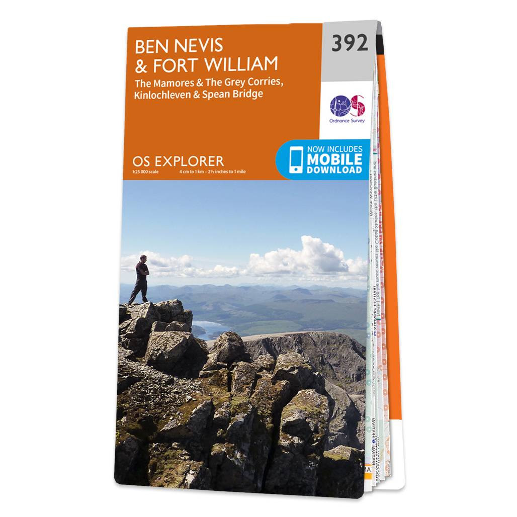
Conquer Ben Nevis the highest mountain in Britain and soak up the spectacular panoramic views of the Scottish Highlands from its peak.Explore the myriad of activities on offer in Lochaber the Outdoor Capital of the UK. The area is famous for its challenging walks, such as the Glennfinnan Viaduct trail, paid off with spectacular views. Or if you're looking for something a little slower in pace, why not visit the Treasure of the Earth museum? One of Lochaber's many museums.A little further from Lochaber is Glen Coe, full of dramatic scenery due to the glen's volcanic origins. All our Explorer maps come in a Weatherproof Active option, so you never get caught out in a storm. Standard Publication Date: 16/09/2016 Weatherproof Publication Date: 03/06/2016
Price: £12.99 from Ordnance Survey
| Retailer | Price | |
|---|---|---|
| Ordnance Survey | £12.99 | Go to shop |
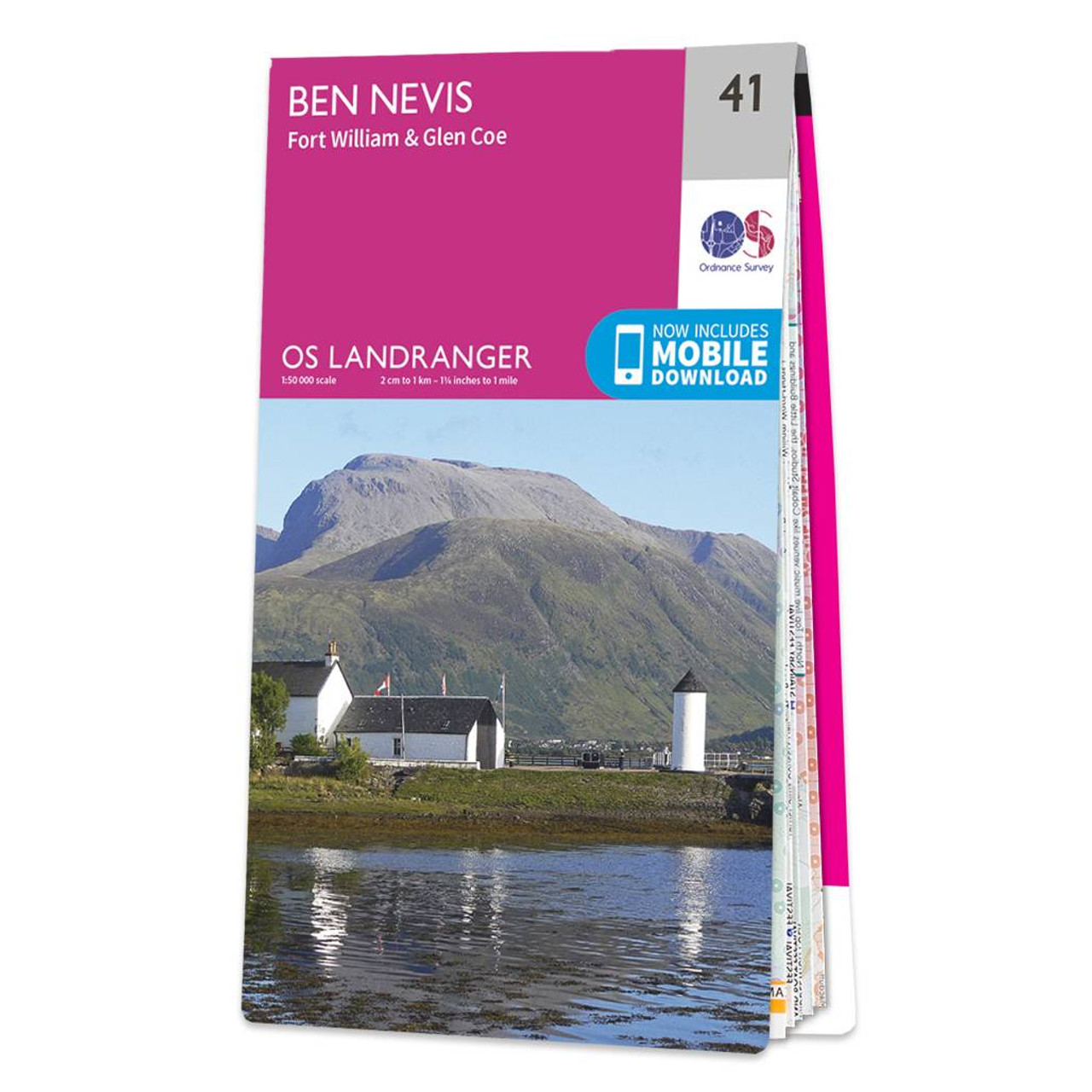
The OS Landranger map of Ben Nevis (including Fort William & Glen Coe) is a must-have for your next trip to the area.The area is famous for its challenging walks paid off by spectacular views. Explore Glen Coe, full of dramatic scenery due to the glen's...

Map of Helmsdale & Strath of Kildonan - OS Explorer Map 444 Format: Folded map Physical Size: 1000 x 890 mm (134 x 227 mm folded) Standard Publication Date: 16/09/2015 Weatherproof Publication Date: 16/09/2015

Map of Coll & Tiree - OS Explorer Map 372 Format: Folded map Physical Size: 1000 x 890 mm (134 x 227 mm folded) Standard Publication Date: 16/09/2015 Weatherproof Publication Date: 16/09/2015
|
|