Map of Launceston & Holsworthy - OS Explorer Map 112 (Roadford Lake) Standard Publication Date: 16/09/2015 Weatherproof Publication Date: 16/09/2015
Map of Pentland Hills - OS Explorer Map 344 (Penicuik & West Linton) Standard Publication Date: 16/09/2015 Weatherproof Publication Date: 16/09/2015
The Landranger map of Brighton & Lewes, including Worthing, Horsham, and Haywards Heath, is a must-have for your next trip to the area. Landranger maps are perfect for extensive hikes, cycling, and driving holidays. Ideal for planning days out or holidays...
Purchase the Hawick and Eskdale folded map: single, sided from the OS Landranger Map range Format: Folded map Physical Size: 1000 x 890 mm (134 x 227 mm folded) Standard Publication Date: 24/02/2016 Weatherproof Publication Date: 24/02/2016
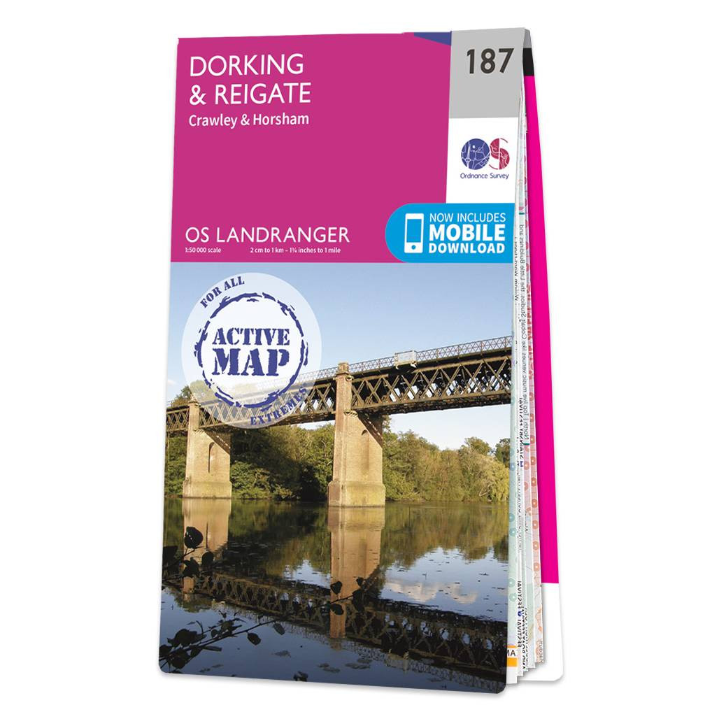
Dorking & Reigate (inc. Crawley & Horsham) map - OS Landranger 187 Standard Publication Date: 24/02/2016 Weatherproof Publication Date: 24/02/2016

OS Road 6: Wales & West Midlands Ideal for planning long distance journeys Handy back-up to your satnav Quickly find alternative routes in heavy traffic Detailed map symbols and contouring Format: Folded map Publication date: 16/05/2024
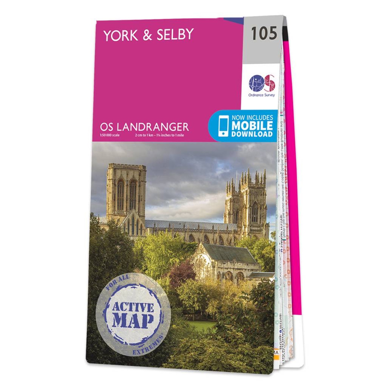
York & Selby map - OS Landranger 105 Standard Publication Date: 24/02/2016 Weatherproof Publication Date: 24/02/2016
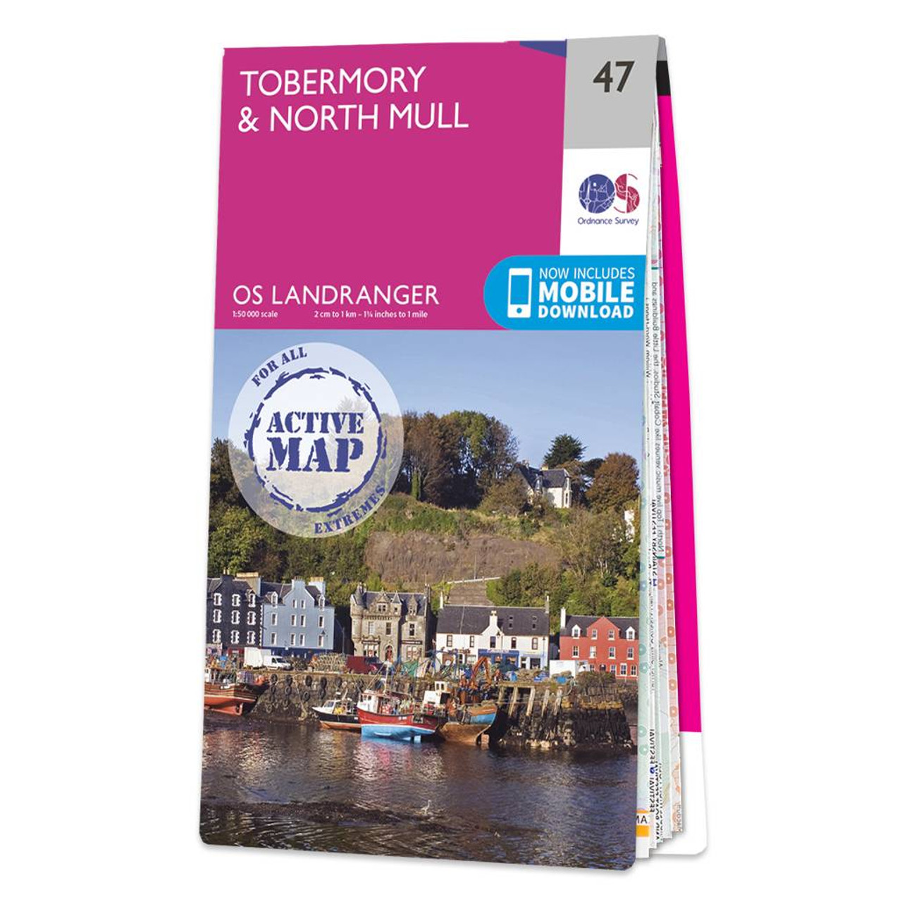
Tobermory & North Mull map - OS Landranger 47 Format: Folded map Physical Size: 1000 x 890 mm (134 x 227 mm folded) Standard Publication Date: 24/02/2016 Weatherproof Publication Date: 24/02/2016
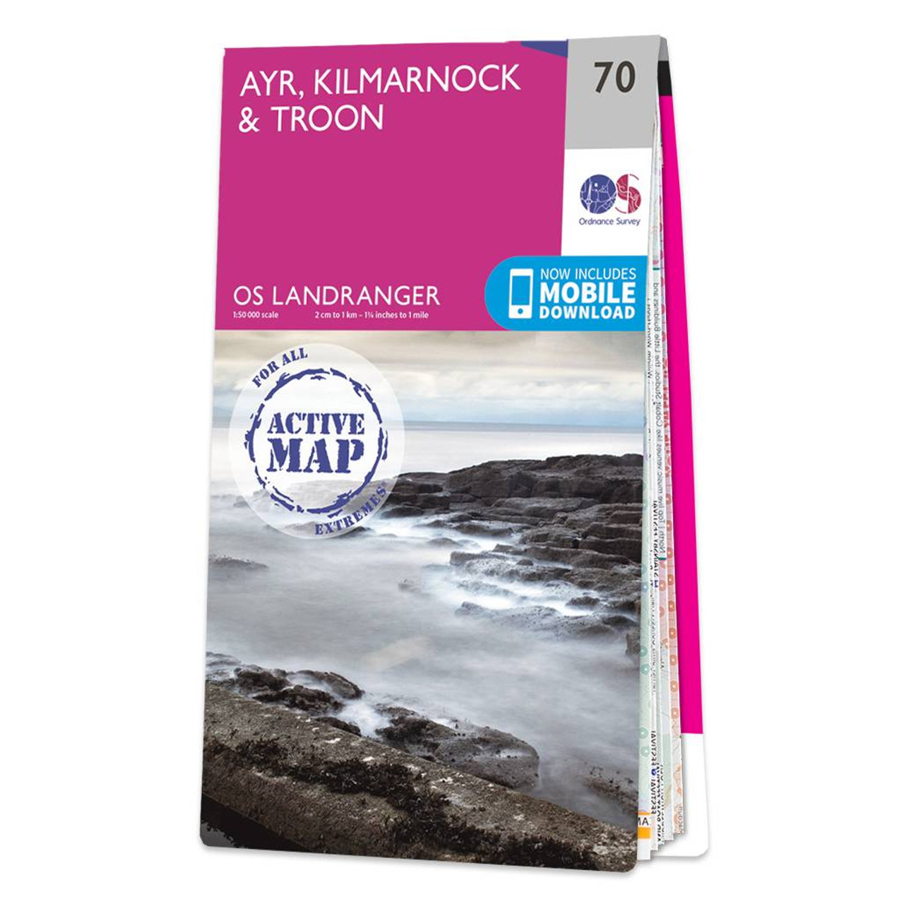
Ayr, Kilmarnock & Troon map - OS Landranger 70 Format: Folded map Physical Size: 1000 x 890 mm (134 x 227 mm folded) Standard Publication Date: 24/02/2016 Weatherproof Publication Date: 24/02/2016
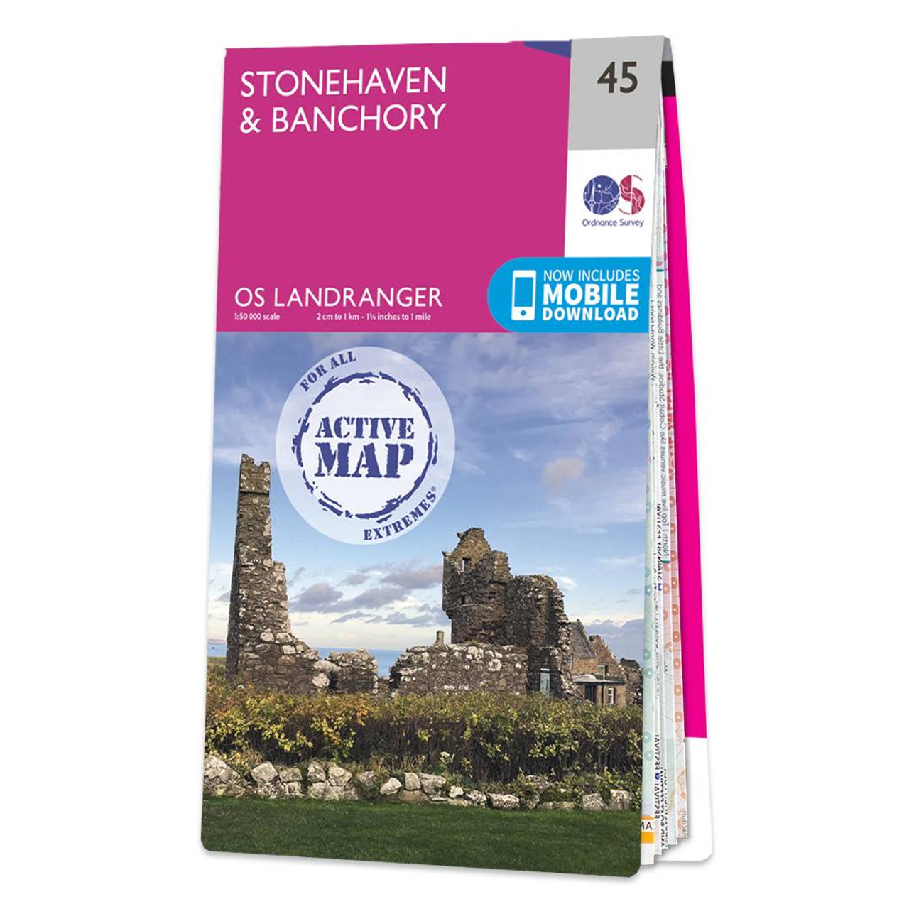
Stonehaven & Banchory map - OS Landranger 45 Format: Folded map Physical Size: 1000 x 890 mm (134 x 227 mm folded) Standard Publication Date: 31/07/2019 Weatherproof Publication Date: 05/08/2019
|
|