|
|
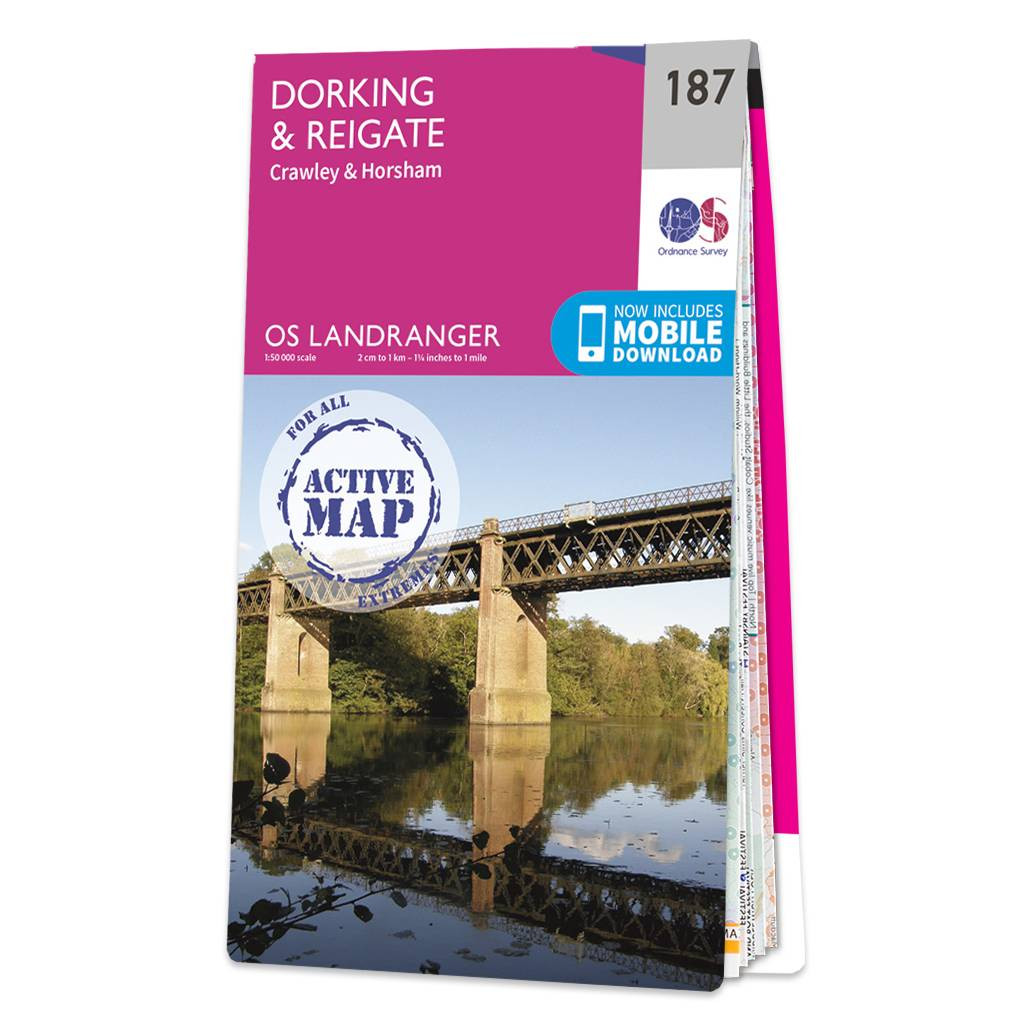
Dorking & Reigate (inc. Crawley & Horsham) map - OS Landranger 187 Standard Publication Date: 24/02/2016 Weatherproof Publication Date: 24/02/2016
Price: £16.99 from Ordnance Survey
| Retailer | Price | |
|---|---|---|
| Ordnance Survey | £16.99 | Go to shop |
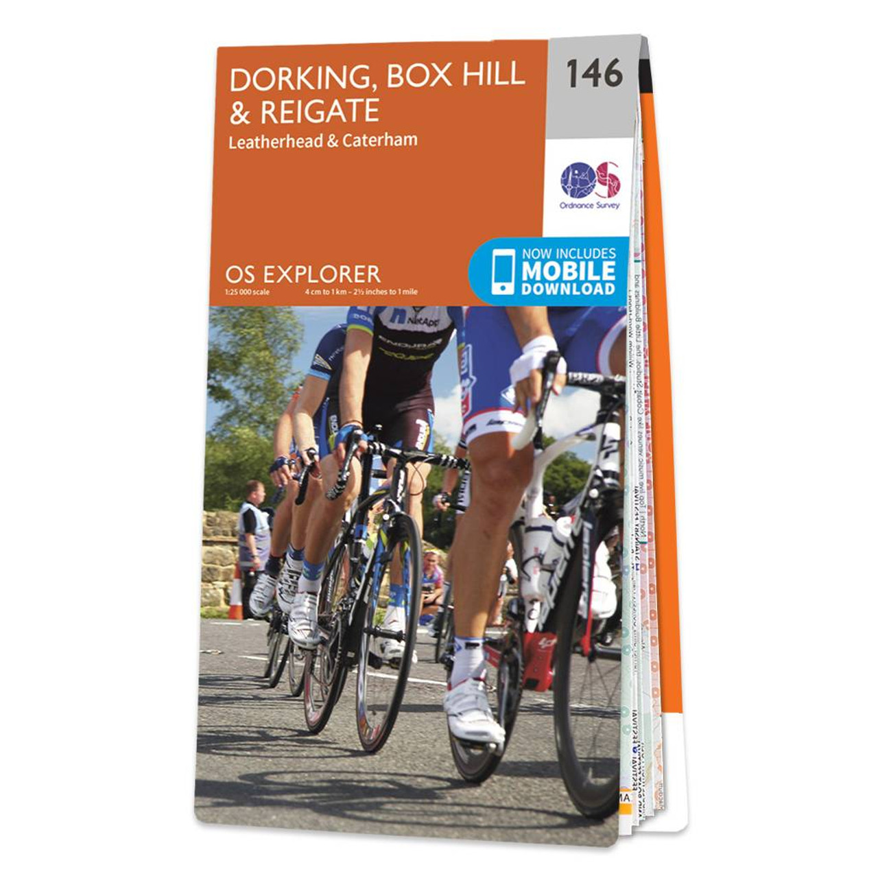
The OS Explorer map of Dorking, Box Hill, and Reigate, including Leatherhead and Caterham, is the most detailed mapping of the area and a must-have when planning your next trip! Highlights on this map include: Surrey Hills Area of Outstanding Natural...

An authentic reproduction Ordnance Survey map of Reigate from the Revised New Edition, 1896 to 1904. Printed flat, and delivered rolled in a tube. About our range of historical maps Our stunning Ordnance Survey Historical Maps make ideal gifts. Perfect...

Coll & Tiree map - OS Landranger 46 Format: Folded map Physical Size: 1000 x 890 mm (134 x 227 mm folded) Standard Publication Date: 24/02/2016 Weatherproof Publication Date: 24/02/2016
|
|