|
|
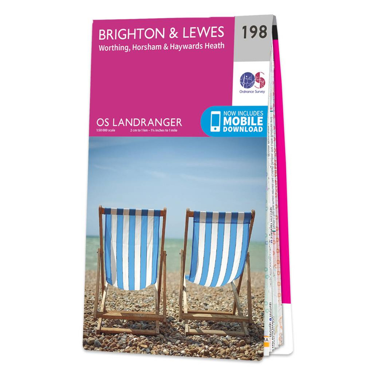
The Landranger map of Brighton & Lewes, including Worthing, Horsham, and Haywards Heath, is a must-have for your next trip to the area. Landranger maps are perfect for extensive hikes, cycling, and driving holidays. Ideal for planning days out or holidays to the area, including the South Downs in East Sussex, Brighton, Worthing, Lewes, Haywards Heath, Horsham, Burgess Hill, Shoreham-by-sea, Newhaven, Seaford and Uckfield. Explore the expansive South Downs National Park and the stroll along the South Downs Way. Our Landranger maps come in standard or Weatherproof Active, you'll also receive a free download for your devices — making for a convenient companion. Standard Publication Date: 24/02/2016 Weatherproof Publication Date: 24/02/2016
Price: £12.99 from Ordnance Survey
| Retailer | Price | |
|---|---|---|
| Ordnance Survey | £12.99 | Go to shop |

Coll & Tiree map - OS Landranger 46 Format: Folded map Physical Size: 1000 x 890 mm (134 x 227 mm folded) Standard Publication Date: 24/02/2016 Weatherproof Publication Date: 24/02/2016

Isle of Arran map - OS Landranger 69 Format: Folded map Physical Size: 1000 x 890 mm (134 x 227 mm folded) Standard Publication Date: 24/02/2016 Weatherproof Publication Date: 24/02/2016
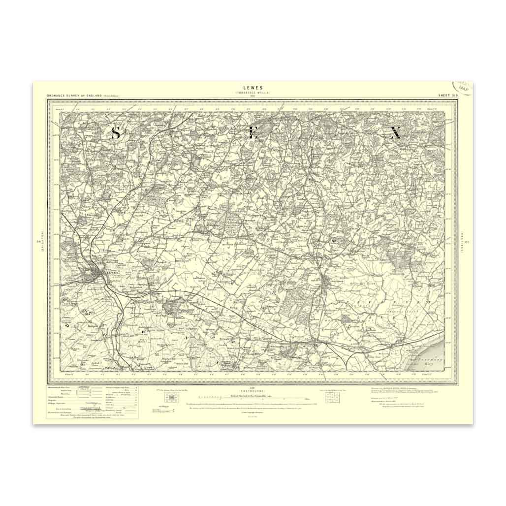
An authentic reproduction Ordnance Survey map of Lewes from the Revised New Edition, 1896 to 1904. Printed flat, and delivered rolled in a tube. About our range of historical maps Our stunning Ordnance Survey Historical Maps make ideal gifts. Perfect...
|
|