
Isle of Arran map - OS Landranger 69 Format: Folded map Physical Size: 1000 x 890 mm (134 x 227 mm folded) Standard Publication Date: 24/02/2016 Weatherproof Publication Date: 24/02/2016

Leicester (inc. Coventry & Rugby) map - OS Landranger 140 Format: Folded map Physical Size: 1000 x 890 mm (134 x 227 mm folded) Standard Publication Date: 15/05/2017 Weatherproof Publication Date: 26/07/2017
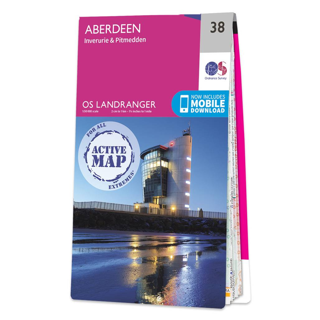
Aberdeen (inc. Inverurie & Pitmedden) map - OS Landranger 38 Format: Folded map Physical Size: 1000 x 890 mm (134 x 227 mm folded) Standard Publication Date: 05/08/2019 Weatherproof Publication Date: 05/08/2019
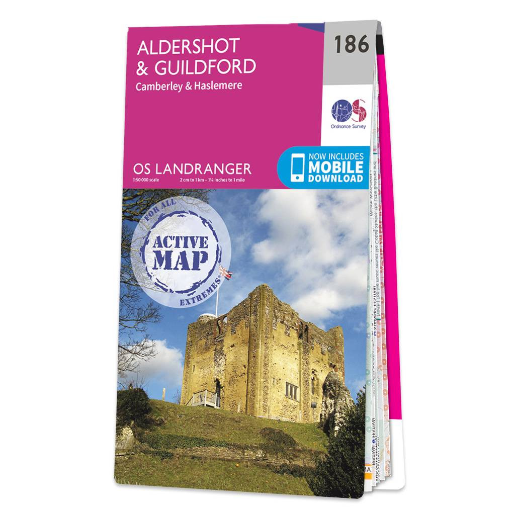
The Landranger map of Aldershot and Guildford, including Camberley and Haslemere is a must-have for your next trip to the area. Landranger maps are perfect for extensive hikes, cycling, and driving holidays.Ideal for planning days out or holidays to the...
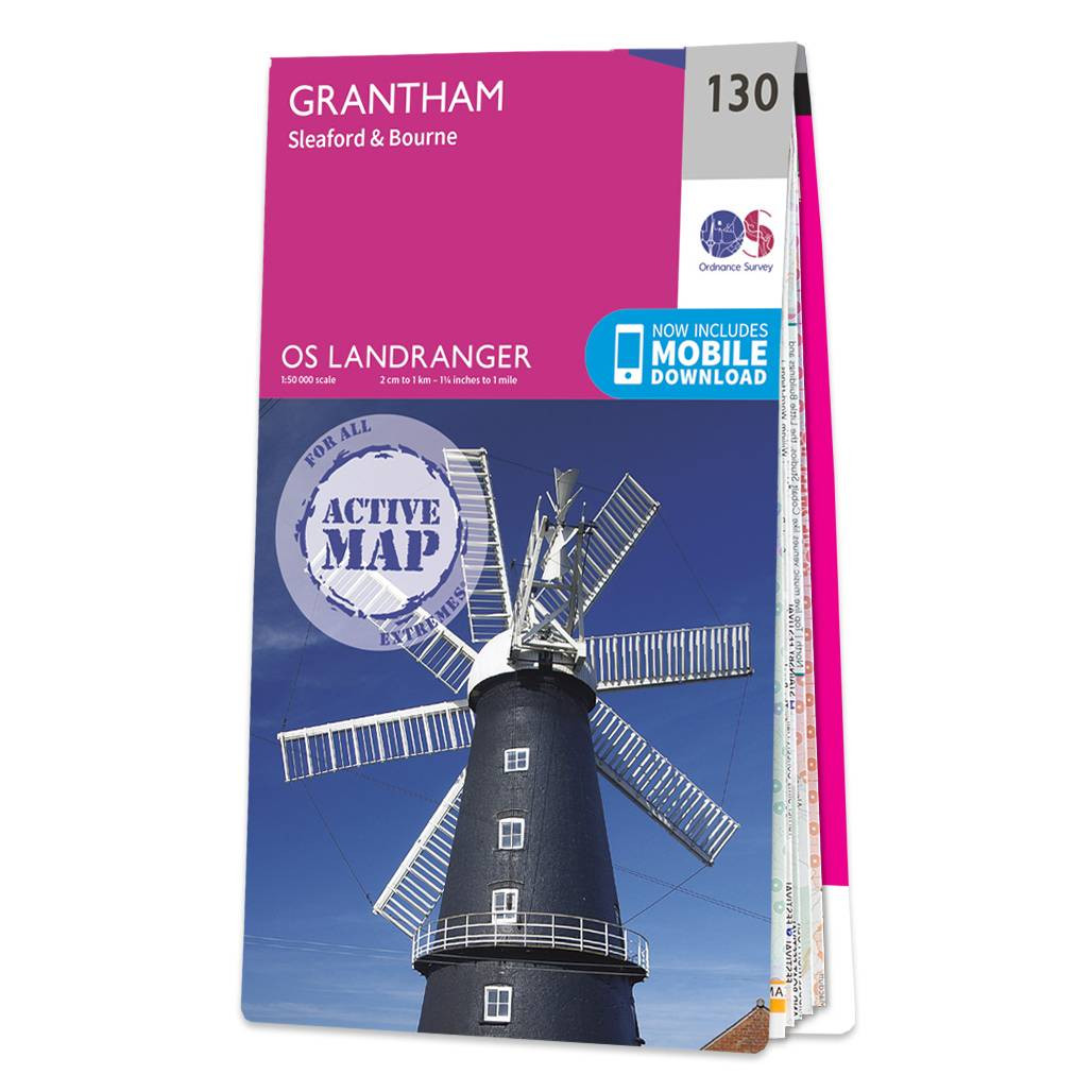
Grantham (inc. Sleaford & Bourne) map - OS Landranger 130 Format: Folded map Physical Size: 1000 x 890 mm (134 x 227 mm folded) Standard Publication Date: 29/08/2018 Weatherproof Publication Date: 21/09/2018

The Cotswolds and Gloucestershire OS Tour map: 1:100,000 tourist map Format: Folded map Physical Size: 1270 x 952 mm (133 x 240 mm folded) Publication Date: 24/2/2016
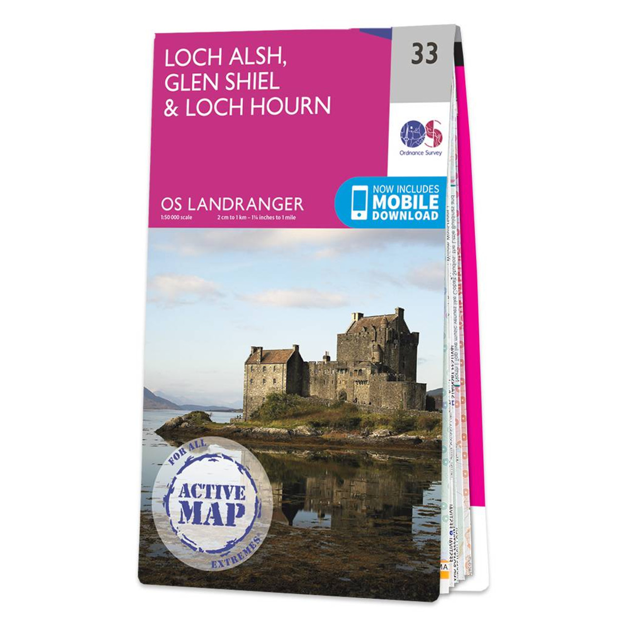
Loch Alsh, Glen Shiel & Loch Hourn map - OS Landranger 33 Format: Folded map Physical Size: 1000 x 890 mm (134 x 227 mm folded) Standard Publication Date: 24/02/2016 Weatherproof Publication Date: 24/02/2016

Truro & Falmouth (inc. Roseland Peninsula) map - OS Landranger 204 Standard Publication Date: 11/09/2020 Weatherproof Publication Date: 11/09/2020
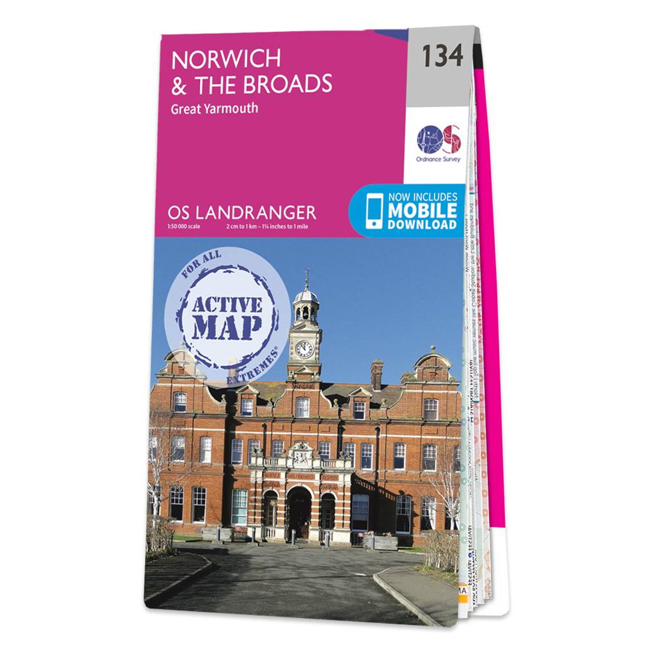
The Landranger map of Norwich & The Broads, including Great Yarmouth is a must-have for your next trip to the area. Landranger maps are perfect for extensive hikes, cycling, and driving holidays. Ideal for planning days out or holidays to The Broads —...
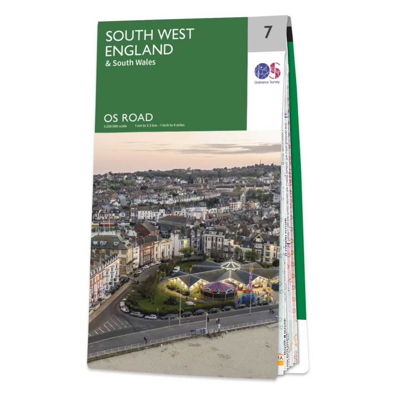
OS Road 7: South West England Ideal for planning long distance journeys Handy back-up to your satnav Quickly find alternative routes in heavy traffic Detailed map symbols and contouring Format: Folded map Publication date: 29/08/2024
|
|