
One of Britain's most scenic railways, the Tarka Line runs for 39 miles between Exeter & Barnstaple, following the gentle river valleys of the Yeo and Taw. This guide for Tarka Line Walks provides the best way to explore the spectacular countryside surrounding...

Lleyn Peninsula map - OS Landranger 123 Standard Publication Date: 18/03/2024 Weatherproof Publication Date: 03/03/2025
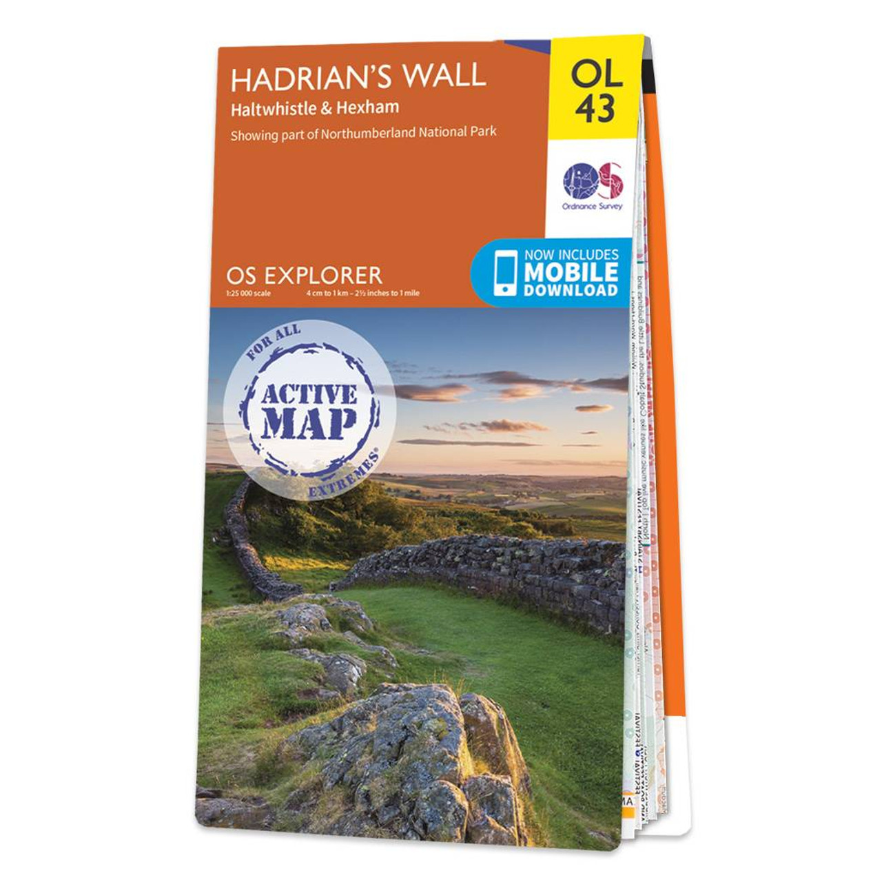
Map of Hadrian's Wall - OS Explorer Map OL43 (Haltwhistle & Hexham) Standard Publication Date: 23/05/2019 Weatherproof Publication Date: 21/05/2019

Map of Liverpool - OS Explorer Map 275 (St Helens, Widnes & Runcorn) Standard Publication Date: 20/07/2018 Weatherproof Publication Date: 22/08/2018

The Landranger map of Northallerton & Ripon is a must-have when planning your next trip to the area. Landranger maps are perfect for extensive hikes, cycling, and driving holidays.Situated between the Yorkshire Dales and the North York Moors, this gorgeous...

OSI Discovery Sheet No. 47 covers part of County Galway at a 1:50 000 scale and is designed for all sorts of leisure activities including walking, cycling and tourism. Features shown on the Discovery series include walking trails, cycle routes, forest...
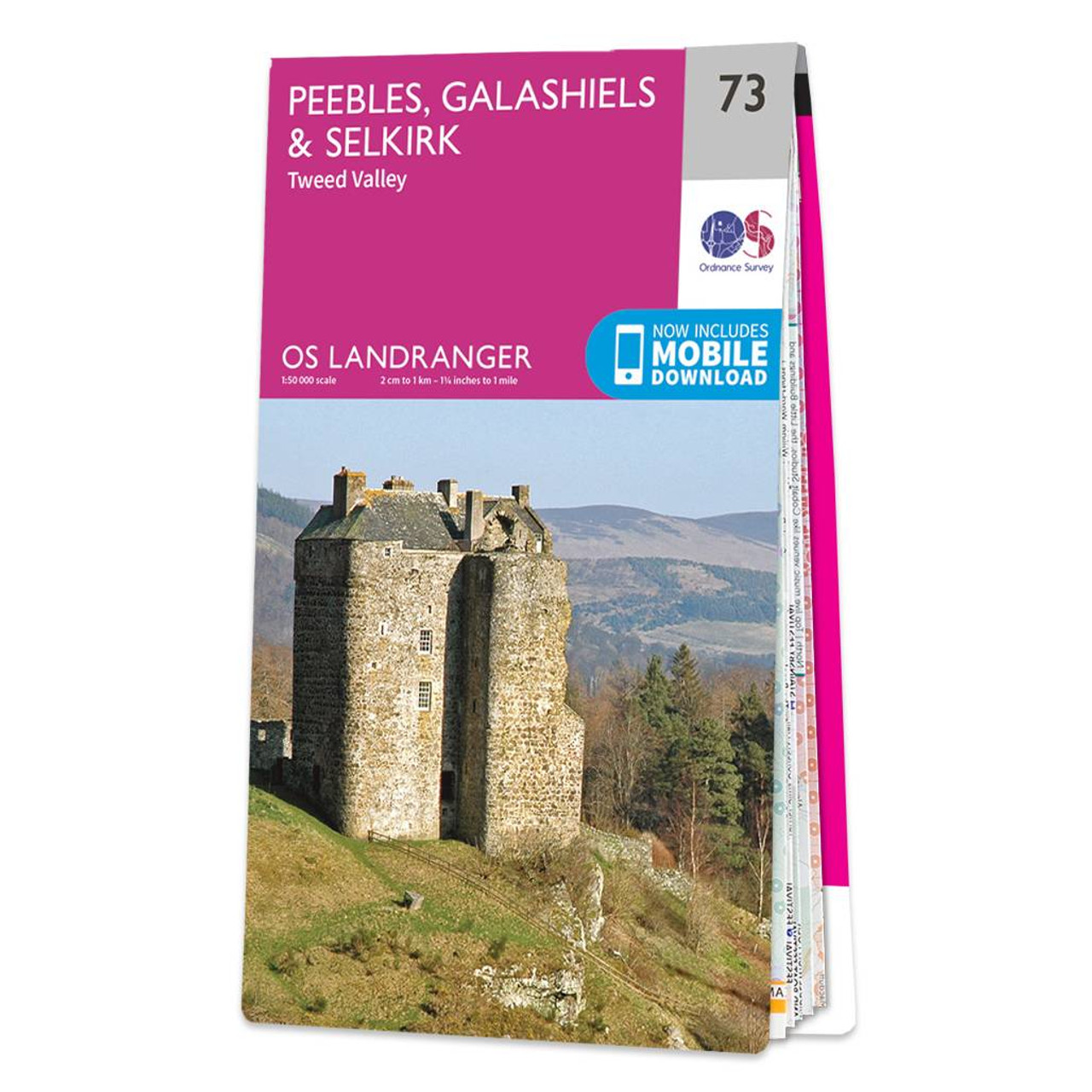
Peebles, Galashiels & Selkirk (inc. Tweed Valley) map - OS Landranger 73 Format: Folded map Physical Size: 1000 x 890 mm (134 x 227 mm folded) Standard Publication Date: 24/02/2016 Weatherproof Publication Date: 24/02/2016
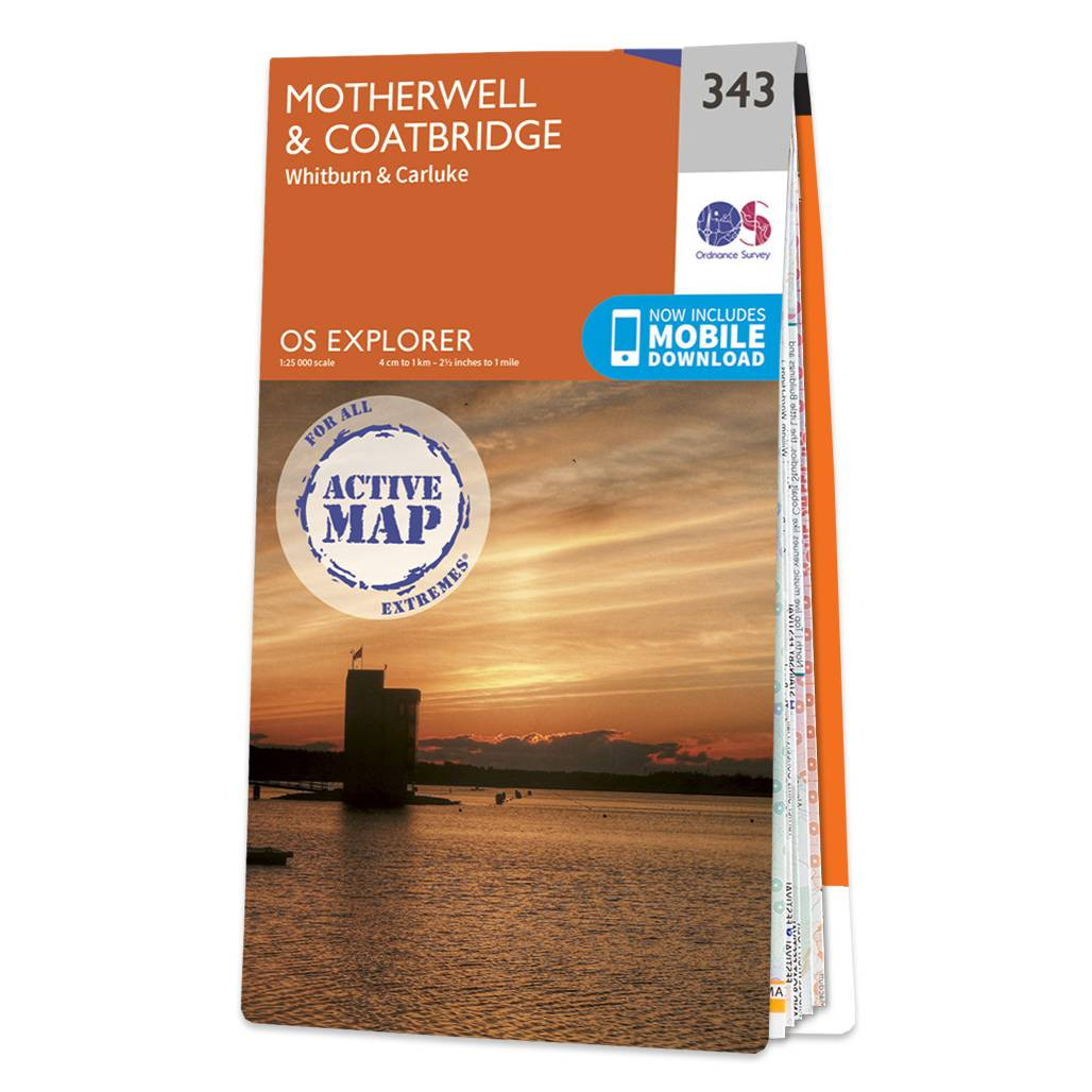
Map of Motherwell & Coatbridge - OS Explorer Map 343 (Whitburn & Carluke) Format: Folded map Physical Size: 1270 x 952 mm (133 x 240 mm folded) Standard Publication Date: 16/09/2015 Weatherproof Publication Date: 16/09/2015

The map of Roman Britain highlights cities, roads and important ancient monuments, plus a wide range of valuable background details of life at the time.
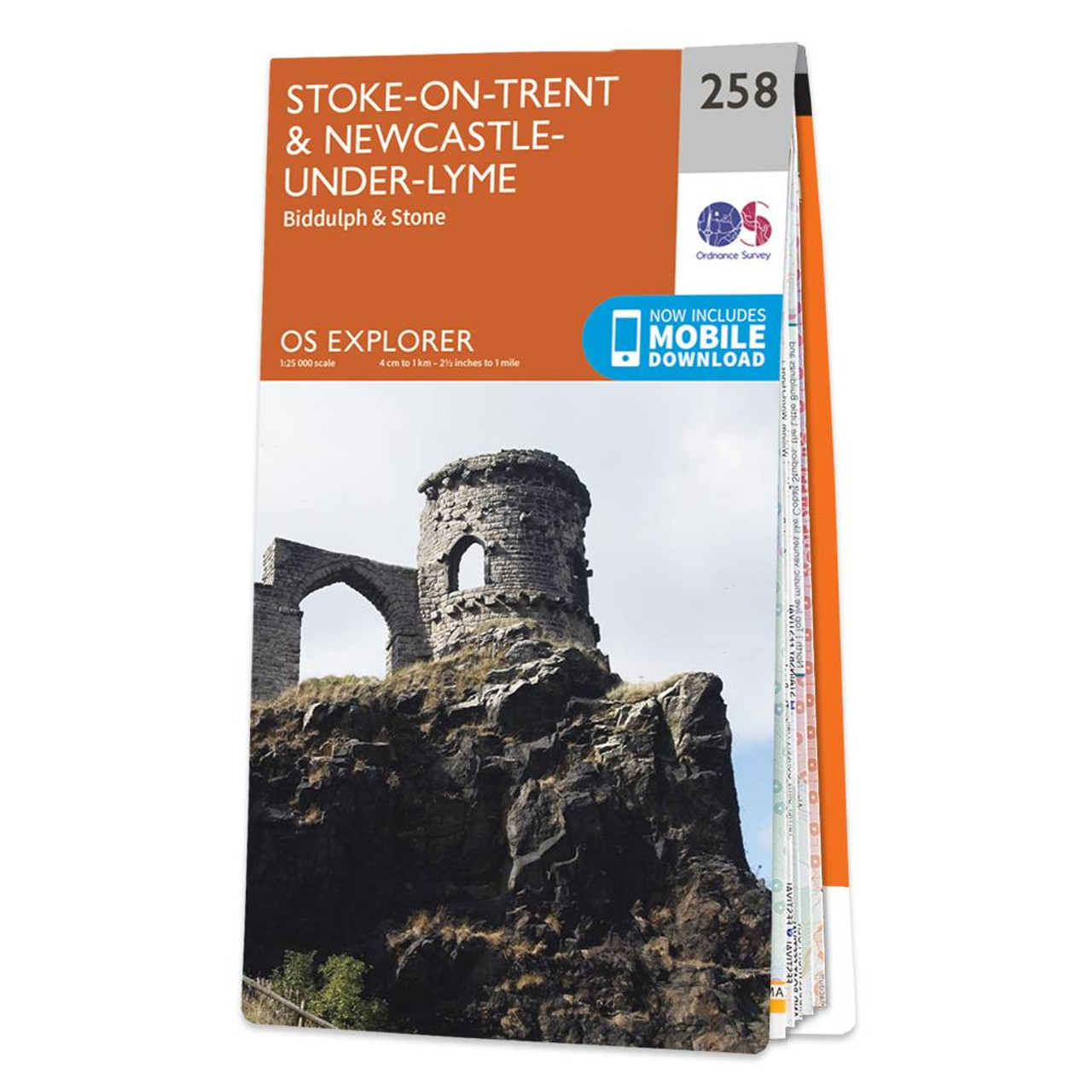
Map of Stoke-on-Trent & Newcastle-under-Lyme - OS Explorer Map 258 (Biddulph & Stone) Format: Folded map Physical Size: 952 x 1270 mm (133 x 240 mm folded) Standard Publication Date: 11/07/2018 Weatherproof Publication Date: 22/08/2018
|
|