|
|
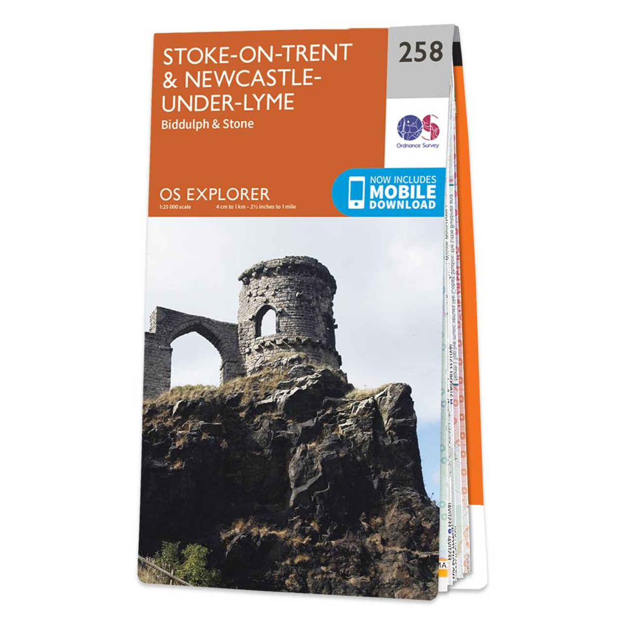
Map of Stoke-on-Trent & Newcastle-under-Lyme - OS Explorer Map 258 (Biddulph & Stone) Format: Folded map Physical Size: 952 x 1270 mm (133 x 240 mm folded) Standard Publication Date: 11/07/2018 Weatherproof Publication Date: 22/08/2018
Price: £12.99 from Ordnance Survey
| Retailer | Price | |
|---|---|---|
| Ordnance Survey | £12.99 | Go to shop |

Stoke-on-Trent & Macclesfield map - OS Landranger 118 Standard Publication Date: 22/06/2017 Weatherproof Publication Date: 26/07/2017

The OS Explorer map of Lyme Regis & Bridport covers the area between East Devon and West Dorset (between Beer and Burton Bradstock).With so much to discover, Explorer 116 is a must-have companion when visiting both Lyme Regis and Bridport. Lyme Regis...

Map of Newark-on-Trent - OS Explorer Map 271 (Retford, Southwell & Saxilby) Format: Folded map Physical Size: 890 x 1000 mm (134 x 227 mm folded) Standard Publication Date: 16/09/2015 Weatherproof Publication Date: 16/09/2015
|
|