|
|

The map of Roman Britain highlights cities, roads and important ancient monuments, plus a wide range of valuable background details of life at the time.
Price: £7.99 from Ordnance Survey
| Retailer | Price | |
|---|---|---|
| Ordnance Survey | £7.99 | Go to shop |

Discover Britain's ancient past and famous historical events with this double-sided map that covers features from Palaeolithic and Mesolithic to the early Middle Ages.

Get the most up to date road mapping of Great Britain in its entirety. Updated in 2020 these maps cover the whole of the British Isles. They're in 1: 250 000 scale, ideal for driving or road-cycling. They also make a great alternative or handy backup...
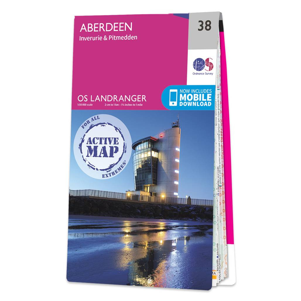
Aberdeen (inc. Inverurie & Pitmedden) map - OS Landranger 38 Format: Folded map Physical Size: 1000 x 890 mm (134 x 227 mm folded) Standard Publication Date: 05/08/2019 Weatherproof Publication Date: 05/08/2019
|
|