
Map of Market Weighton & Yorkshire Wolds Central - OS Explorer Map 294 (Pocklington) Standard Publication Date: 16/09/2015 Weatherproof Publication Date: 16/09/2015
Thames Estuary (inc. Rochester & Southend-on-Sea) map - OS Landranger 178 Standard Publication Date: 24/02/2016 Weatherproof Publication Date: 24/02/2016

Our most detailed map of Dartmoor including both the North & South side.The Explorer OL28 Dartmoor map is a must-have companion if you want to experience the area in complete detail! Discover stunning landscapes in this vast moorland, find peace among...

OSI Discovery Sheet No. 82 covers County Waterford at a 1:50 000 scale and is designed for all sorts of leisure activities including walking, cycling and tourism. Features shown on the Discovery series include walking trails, cycle routes, forest parks...
Purchase the Grimsby folded map: single, sided (boarded cover) from the OS Landranger Map range Standard Publication Date: 28/09/2023 Weatherproof Publication Date: 14/05/2025
Duns, Dunbar & Eyemouth map - OS Landranger 67 Format: Folded map Physical Size: 1000 x 890 mm (134 x 227 mm folded) Standard Publication Date: 24/02/2016 Weatherproof Publication Date: 24/02/2016
Map of Kelso, Coldstream & Lower Tweed Valley - OS Explorer Map 339 Standard Publication Date: 16/09/2015 Weatherproof Publication Date: 16/09/2015
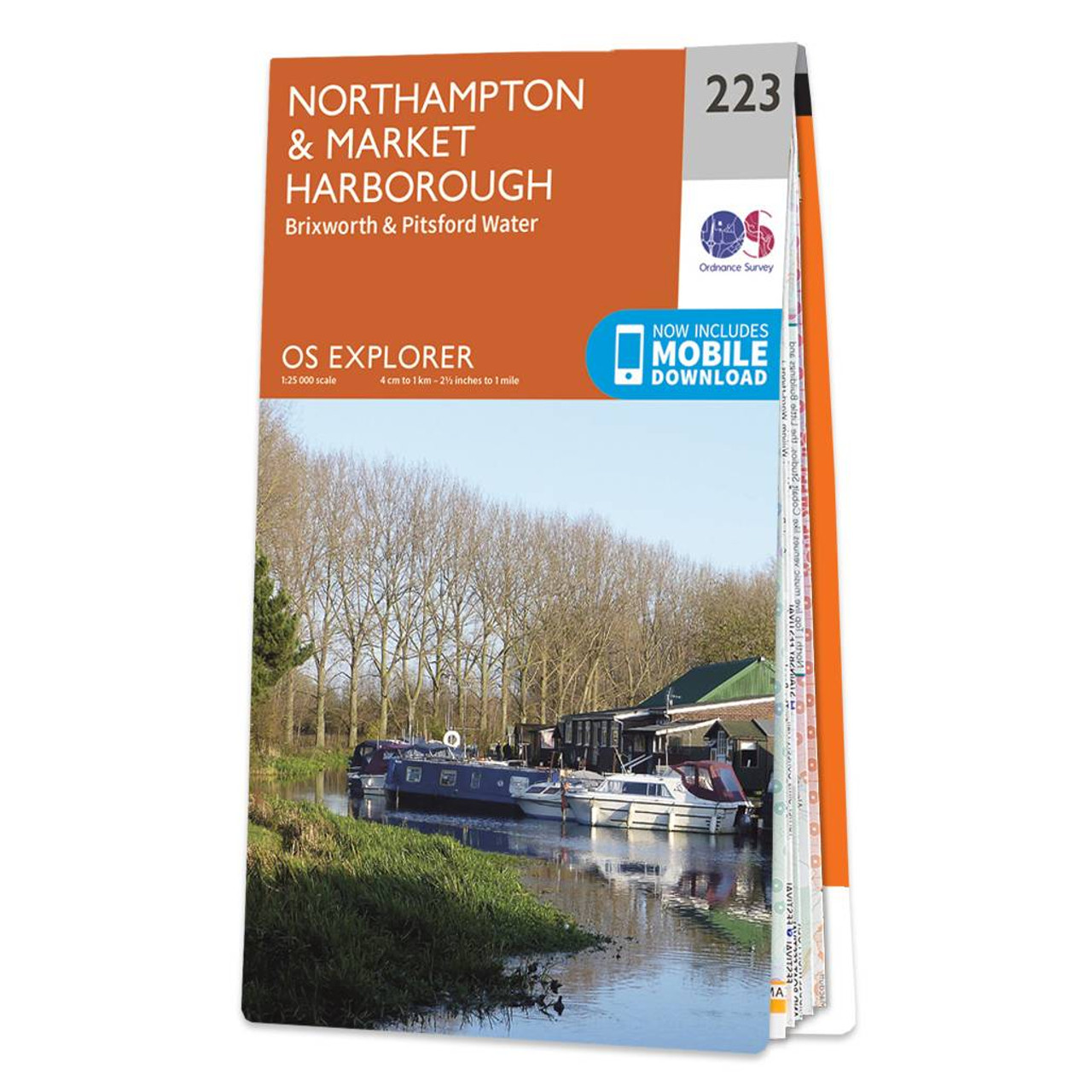
Map of Northampton & Market Harborough - OS Explorer Map 223 (Brixworth & Pitsford Water) Format: Folded map Physical Size: 1000 x 890 mm (134 x 227 mm folded) Standard Publication Date: 16/09/2015 Weatherproof Publication Date: 16/09/2015

Purchase OL 56 Badenoch & Upper Strathspey folded map: single-sided (boarded cover) from the OS Explorer Map range Standard Publication Date: 10/06/2015 Weatherproof Publication Date: 10/06/2015

Map of Wisbech & Peterborough North - OS Explorer Map 235 (Market Deeping & Crowland) Standard Publication Date: 16/09/2015 Weatherproof Publication Date: 16/09/2015
|
|