|
|

Our most detailed map of Dartmoor including both the North & South side.The Explorer OL28 Dartmoor map is a must-have companion if you want to experience the area in complete detail! Discover stunning landscapes in this vast moorland, find peace among the craggy landscapes full of forests, rivers, wetlands, and granite tors. Uncover history in the landscape through valleys containing Neolithic tombs, Bronze Age stone circles, and Medieval Farmhouses.Our OS Explorer maps are perfect for day-tripping, extensive hikes, and cycling. They come in both standard and Weatherproof Active, so you'll never get caught out in a storm. This map also comes with a free digital download, so you can access it across your devices — making for a more convenient companion. Standard Publication Date: 03/06/2021 Weatherproof Publication Date: 11/06/2021
Price: £12.99 from Ordnance Survey
| Retailer | Price | |
|---|---|---|
| Ordnance Survey | £12.99 | Go to shop |

An authentic reproduction Ordnance Survey map of Dartmoor Forest from the Revised New Edition, 1896 to 1904. Printed flat, and delivered rolled in a tube. About our range of historical maps Our stunning Ordnance Survey Historical Maps make ideal gifts....
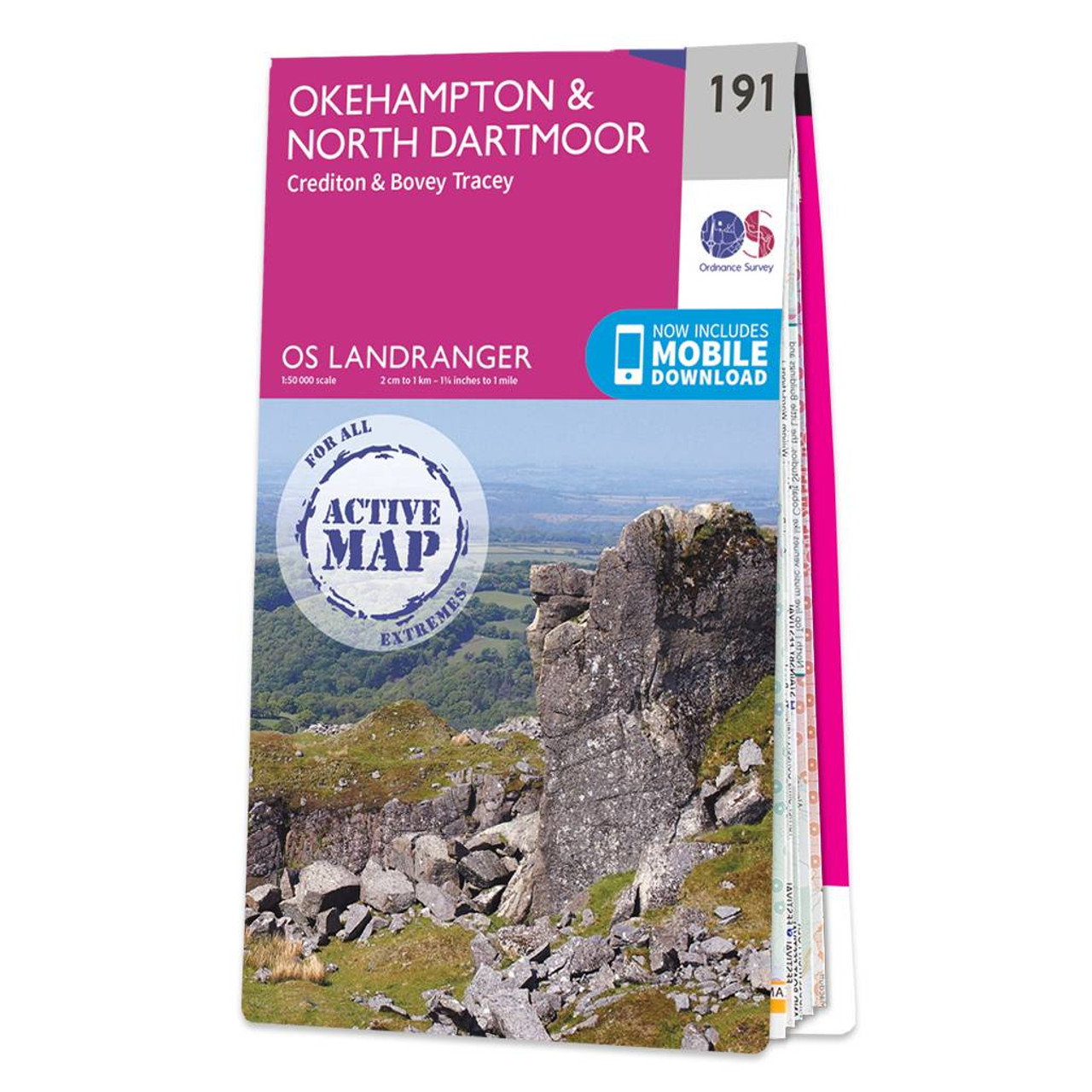
Okehampton & North Dartmoor (inc. Crediton & Bovey Tracey) map - OS Landranger 191 Standard Publication Date: 24/02/2016 Weatherproof Publication Date: 24/02/2016

The Landranger map of Torbay & South Dartmoor, including Totnes & Salcombe, is the perfect tool for planning your next trip to the area. Landranger maps are perfect for extensive hikes, cycling, and driving holidays.With an absolute abundance on offer...
|
|