|
|
Map of Northampton & Market Harborough - OS Explorer Map 223 (Brixworth & Pitsford Water) Format: Folded map Physical Size: 1000 x 890 mm (134 x 227 mm folded) Standard Publication Date: 16/09/2015 Weatherproof Publication Date: 16/09/2015
Price: £12.99 from Ordnance Survey
| Retailer | Price | |
|---|---|---|
| Ordnance Survey | £12.99 | Go to shop |
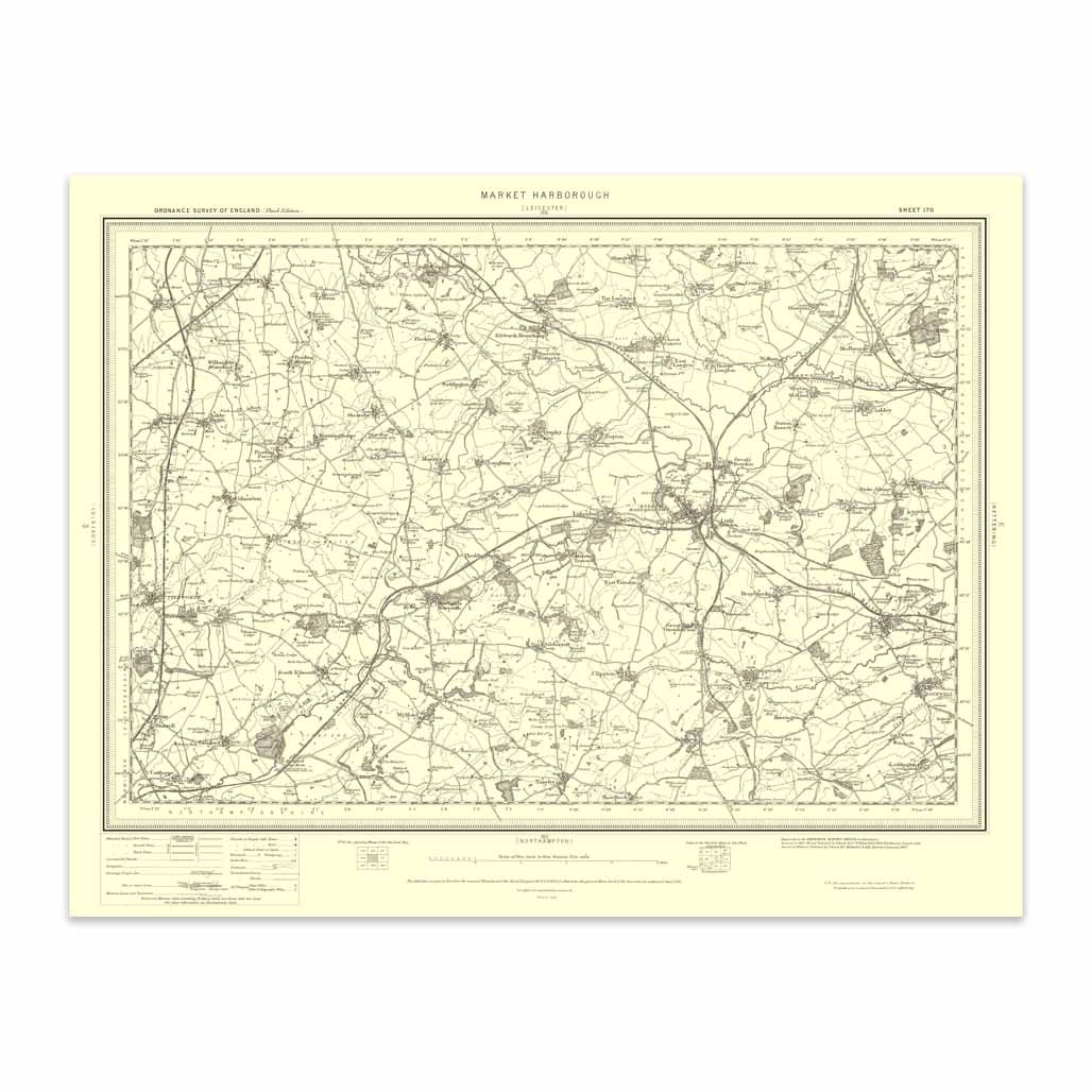
An authentic reproduction Ordnance Survey map of Market Harborough from the Revised New Edition, 1896 to 1904. Printed flat, and delivered rolled in a tube. About our range of historical maps Our stunning Ordnance Survey Historical Maps make ideal gifts....

Map of Newport Pagnell & Northampton South - OS Explorer Map 207 (Towcester & Olney) Format: Folded map Physical Size: 890 x 1000 mm (134 x 227 mm folded) Standard Publication Date: 16/09/2015 Weatherproof Publication: 16/09/2015

Map of Market Drayton - OS Explorer Map 243 (Loggerheads & Eccleshall) Format: Folded map Physical Size: 1270 x 952 mm (133 x 240 mm folded) Standard Publication Date: 16/09/2015 Weatherproof Publication Date: 16/09/2015
|
|