Map of Vale of Clwyd - OS Explorer Map 264 (Rhyl, Denbigh & Ruthin) Standard Publication Date: 16/09/2015 Weatherproof Publication Date: 16/09/2015
The Landranger map of Grantown & Aviemore, including the Cairngorm Mountains, is a must-have for your next trip to the area. Landranger maps are perfect for extensive hikes, cycling, and driving holidays. Ideal for planning days out or holidays in Cairngorms...
The OS Explorer map of Cairn Form & Aviemore, including Loch Morlich. Explore Cairngorms National Park, the area around Cairn Gorm and Aviemore hosts many mountain peaks, amongst beautiful Scottish Scenery. Walk the Speyside Way from Aviemore, or discover...

Map of Glen Esk & Glen Tanar - OS Explorer Map OL (Aboyne & Mount Keen) Standard Publication Date: 10/06/2015 Weatherproof Publication Date: 10/06/2015
Map of Berwick-upon-Tweed - OS Explorer Map 346 (Eyemouth, Duns, St Abb's Head & Cockburnspath ) Standard Publication Date: 16/09/2015 Weatherproof Publication Date: 16/09/2015

OSI Discovery Sheet No. 35 covers part of County Cavan, Louth, Meath and Monaghan at a 1:50 000 scale, and is designed for all sorts of leisure activities including walking, cycling and tourism. Features shown on the Discovery series include walking trails,...
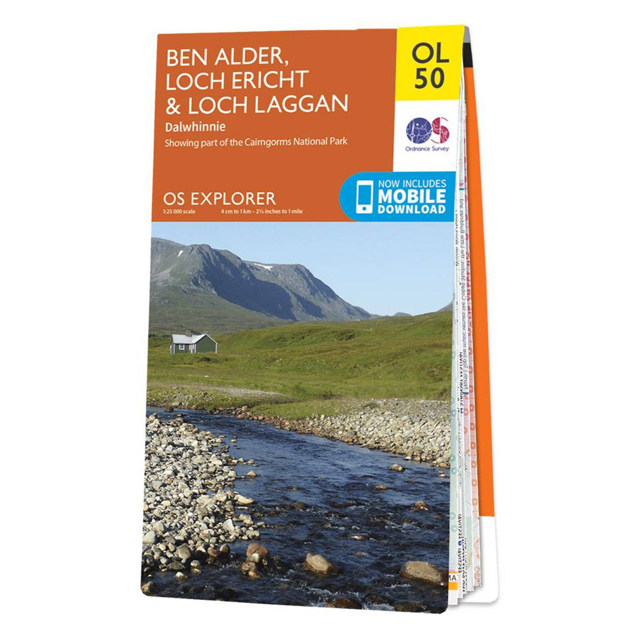
Purchase the Ben Alder, Loch Ericht & Loch Laggan folded map: single-sided (boarded cover) from the OS Explorer Map range Standard Publication Date: 10/06/2015 Weatherproof Publication Date: 10/06/2015
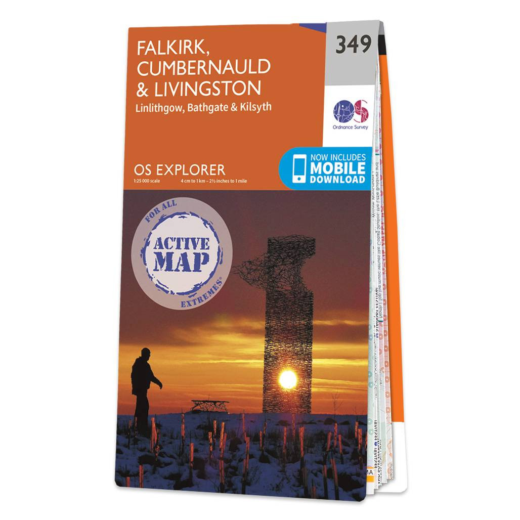
Map of Falkirk, Cumbernauld & Livingston - OS Explorer Map 349 (Linlithgow, Bathgate & Kilsyth) Format: Folded map Physical Size: 890 x 1000 mm (134 x 227 mm folded) Standard Publication Date: 16/09/2015 Weatherproof Publication Date: 16/09/2015
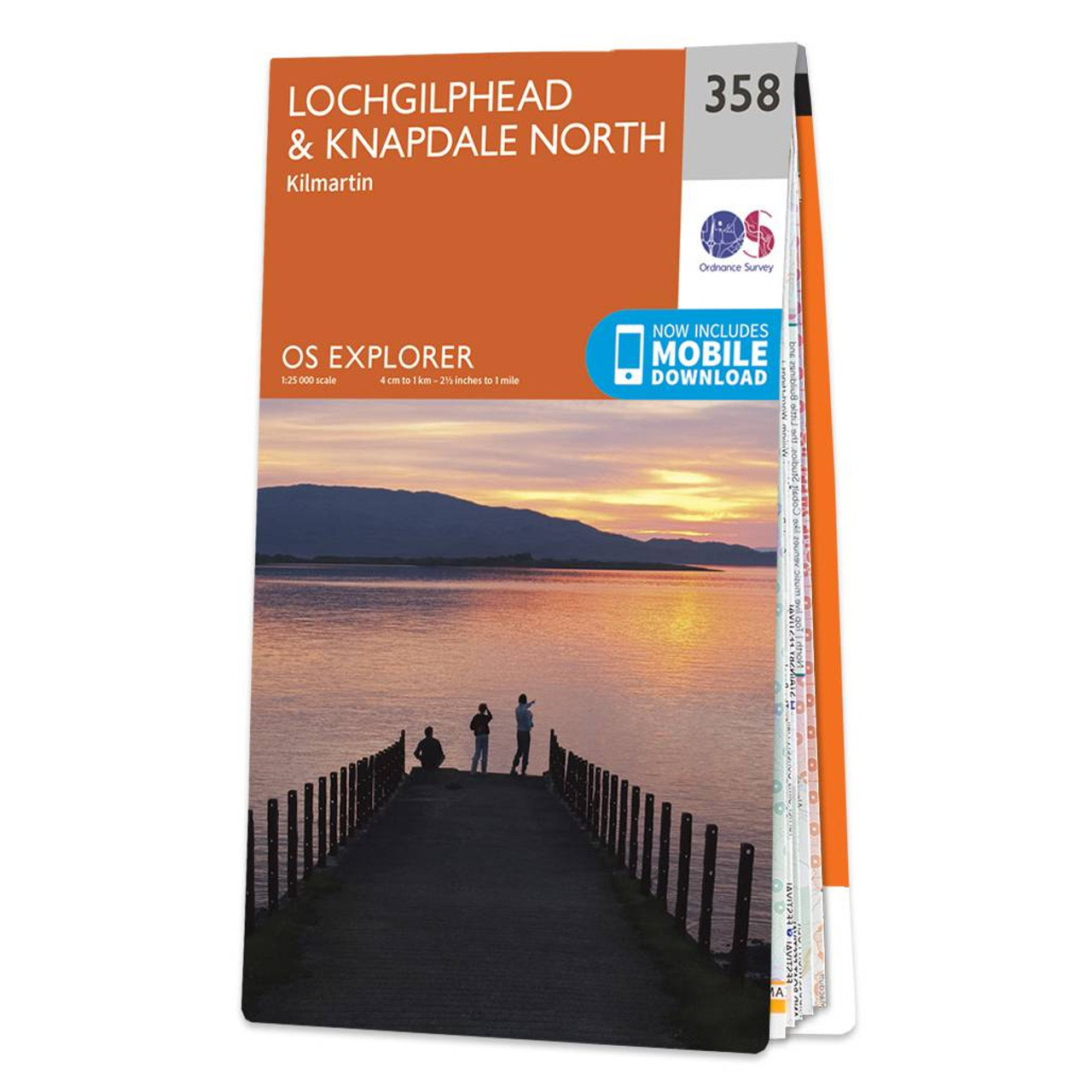
Map of Lochgilphead & Knapdale North - OS Explorer Map 358 (Kilmartin) Format: Folded map Physical Size: 890 x 1125 mm (134 x 227 mm folded) Standard Publication Date: 16/09/2015 Weatherproof Publication Date: 16/09/2015
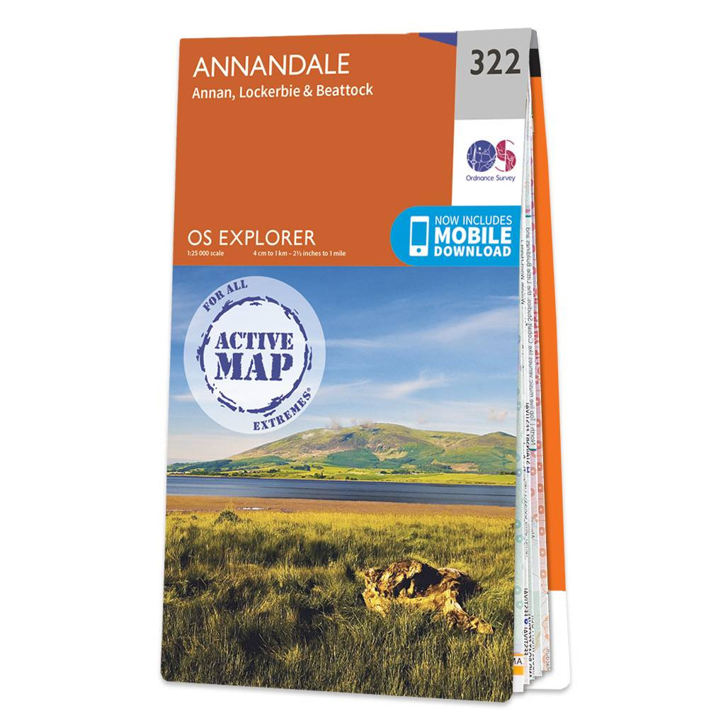
Purchase the Annandale folded map: double-sided (boarded cover) from the OS Explorer Map range Format: Folded map Physical Size: 1000 x 890 mm (134 x 227 mm folded) Standard Publication Date: 16/09/2015 Weatherproof Publication Date: 16/09/2015
|
|