|
|
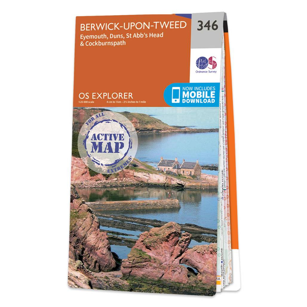
Map of Berwick-upon-Tweed - OS Explorer Map 346 (Eyemouth, Duns, St Abb's Head & Cockburnspath ) Standard Publication Date: 16/09/2015 Weatherproof Publication Date: 16/09/2015
Price: £16.99 from Ordnance Survey
| Retailer | Price | |
|---|---|---|
| Ordnance Survey | £16.99 | Go to shop |

An authentic reproduction Ordnance Survey map of Berwick Upon Tweed from the Revised New Edition, 1896 to 1904. Printed flat, and delivered rolled in a tube. About our range of historical maps Our stunning Ordnance Survey Historical Maps make ideal gifts....
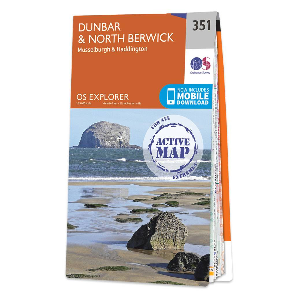
Map of Dunbar & North Berwick - OS Explorer Map 351 (Musselburgh & Haddington) Standard Publication Date: 16/09/2015 Weatherproof Publication Date: 16/09/2015
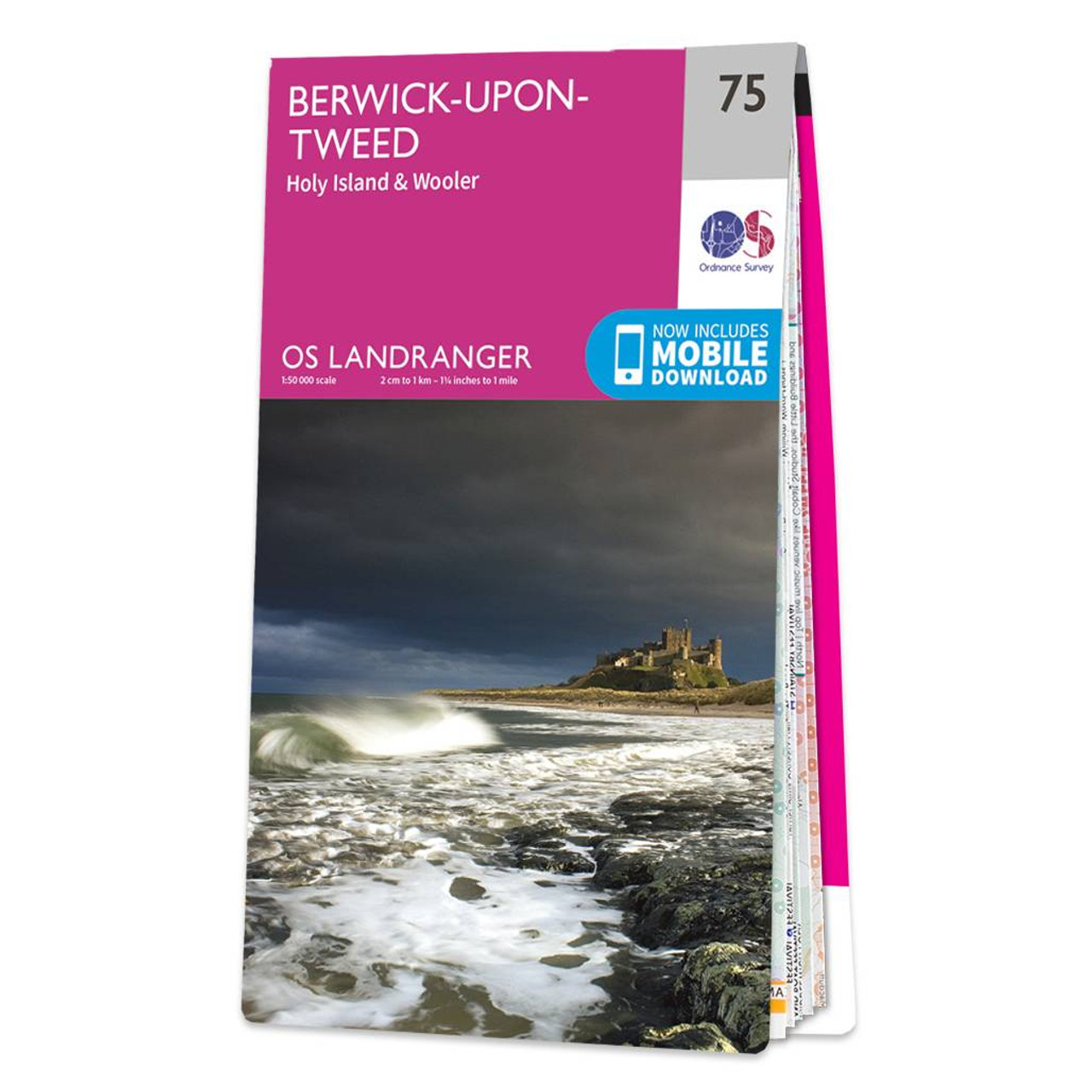
The Landranger map of Berwick-upon-Tweed, including Holy Island and Wooler is a must-have for your next trip to the area.Located close to the Scottish border, Berwick-upon-Tweed is the Northern-most town in England. There is an abundance of attractions...
|
|