|
|
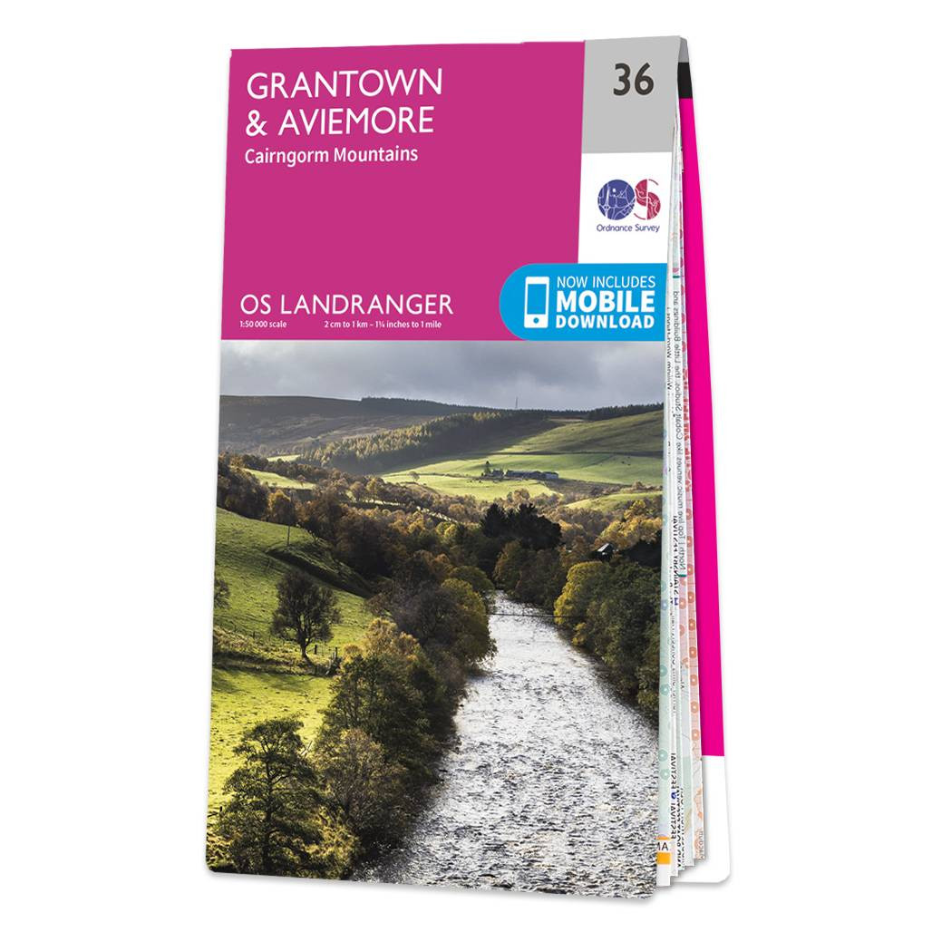
The Landranger map of Grantown & Aviemore, including the Cairngorm Mountains, is a must-have for your next trip to the area. Landranger maps are perfect for extensive hikes, cycling, and driving holidays. Ideal for planning days out or holidays in Cairngorms National Park, Cairngorm Mountains, Grampian Mountains, and the area around Aviemore.With so much to see packed into this majestic area, we can only list some highlights: Speyside Way, Ben Macdui (Beinn MacDuibh), Meall a' Bhauchaille, Strathavon, Kinveachy Forest, Dunandhu, Culardoch, Glen Avon, and the Lochs Morlich, Alive, And Einich. Our Landranger maps come in standard or Weatherproof Active, you'll also receive a free download for your devices — making for a convenient companion. Standard Publication Date: 15/06/2021 Weatherproof Publication Date: 02/11/2023
Price: £12.99 from Ordnance Survey
| Retailer | Price | |
|---|---|---|
| Ordnance Survey | £12.99 | Go to shop |

Coll & Tiree map - OS Landranger 46 Format: Folded map Physical Size: 1000 x 890 mm (134 x 227 mm folded) Standard Publication Date: 24/02/2016 Weatherproof Publication Date: 24/02/2016

Isle of Arran map - OS Landranger 69 Format: Folded map Physical Size: 1000 x 890 mm (134 x 227 mm folded) Standard Publication Date: 24/02/2016 Weatherproof Publication Date: 24/02/2016
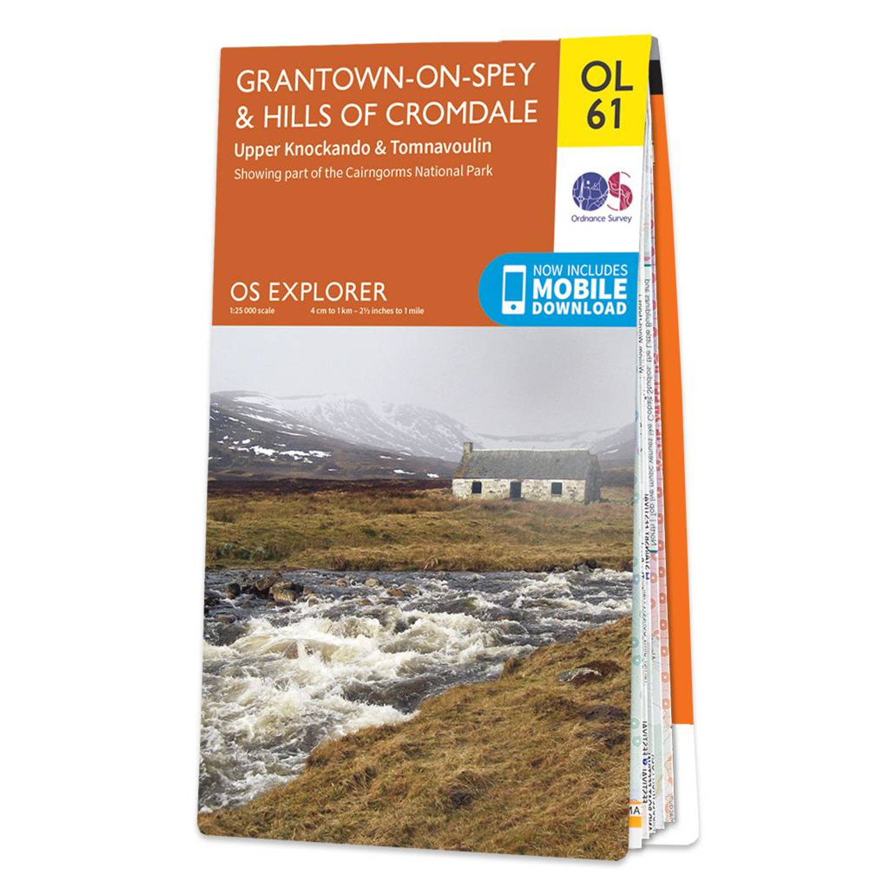
Map of Grantown-on-Spey & Hills of Cromdale - OS Explorer Map OL 61 (Upper Knockando & Tomnavoulin) Standard Publication Date: 16/07/2021 Weatherproof Publication Date: 29/09/2021
|
|