Map of Loch Awe & Inveraray - OS Explorer Map 360 (Dalmally, Dalavich & Furnace) Standard Publication Date: 16/09/2015 Weatherproof Publication Date: 16/09/2015

Map of Wigtown, Whithorn & The Machars - OS Explorer Map 311 Format: Folded map Physical Size: 952 x 1270 mm (133 x 240 mm folded) Standard Publication Date: 16/09/2015 Weatherproof Publication Date: 16/09/2015
The Explorer map of South Devon will be your best friend for your next trip to the area. The Explorer range is perfect for just that — exploring! Check out Salcombe, a charming estuary town in the South Devon AONB area; famous for its sailing and stunning...

Map of Wye Valley & Forest of Dean - OS Explorer Map OL14 Format: Folded map Physical Size: 952 x 1270 mm (134 x 227 mm folded) Standard Publication Date: 24/02/2020 Weatherproof Publication Date: 28/02/2020
Map of Newcastle Emlyn - OS Explorer Map 185 (Llandysul & Cynwyl Elfed) Format: Folded map Physical Size: 1270 x 952 mm (133 x 240 mm folded) Standard Publication Date: 16/09/2015 Weatherproof Publication Date: 16/09/2015

Map of Eskdale and Castle O'er Forest - OS Explorer Map 323 (Langholm, Canonbie & Gretna Green) Standard Publication Date: 05/12/2023 Weatherproof Publication Date: 29/08/2024

Purchase the Ballantrae, Barr & Barrhill folded map: single-sided (boarded cover) from the OS Explorer Map range Format: Folded map Physical Size: 1270 x 952 mm (133 x 240 mm folded) Standard Publication Date: 16/09/2015 Weatherproof Publication Date:...

The Landranger map of Brecon Beacons/Bannau Brycheiniog is a must-have for your next trip to the area. Landranger maps are perfect for extensive hikes, cycling, and driving holidays.Ideal for planning days out or holidays in the Brecon Beacons National...
Map of Northallerton & Thirsk - OS Explorer Map 302 (Catterick & Bedale) Standard Publication Date: 19/10/2018 Weatherproof Publication Date: 10/12/2018
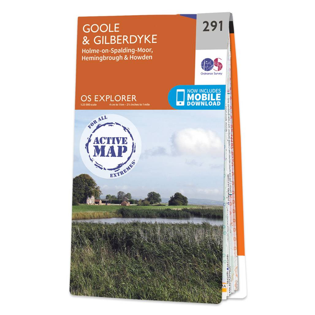
Map of Goole & Gilberdyke - OS Explorer Map 291 (Holme-on-Spalding-Moor, Hemingbrough & Howden) Standard Publication Date: 16/09/2015 Weatherproof Publication Date: 16/09/2015
|
|