|
|
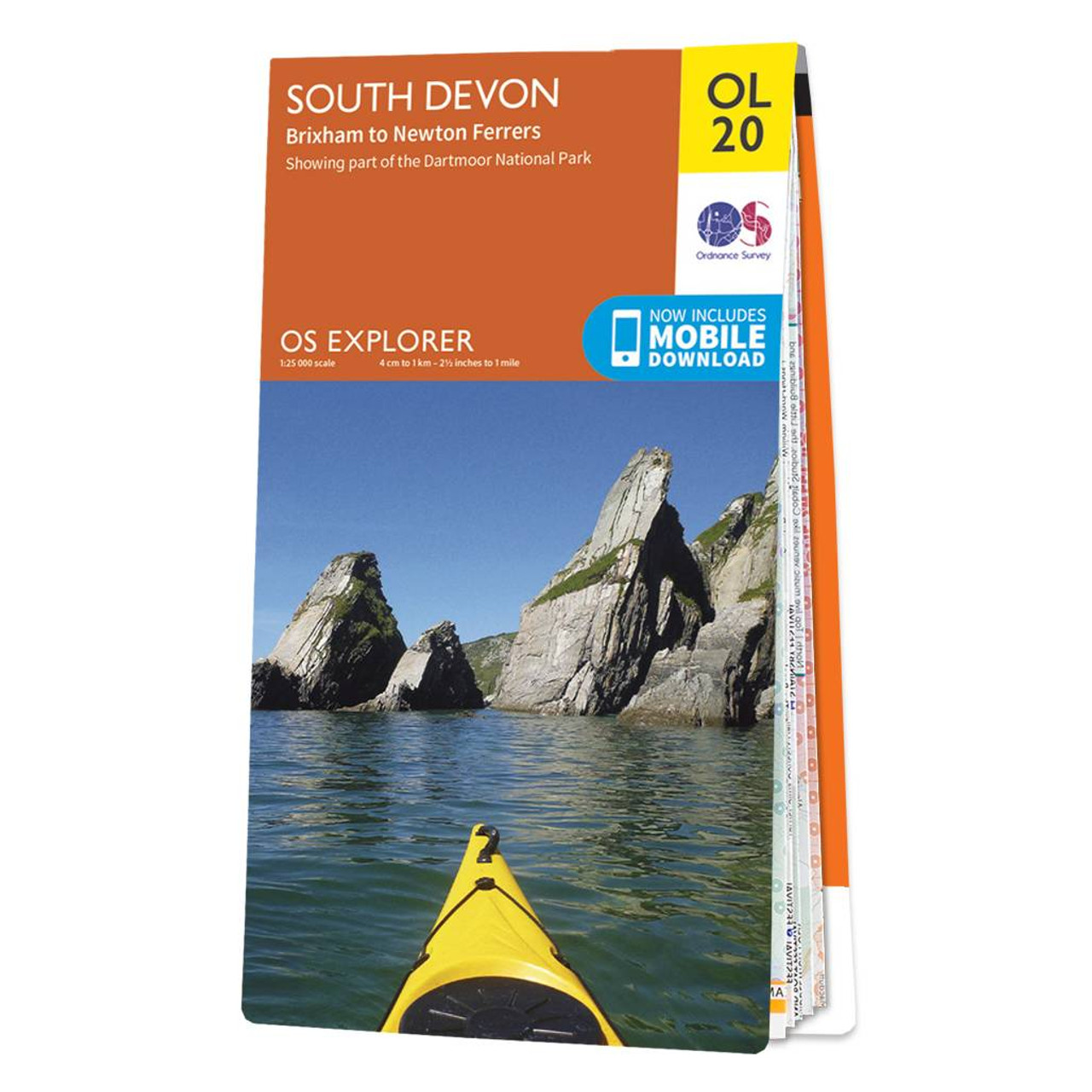
The Explorer map of South Devon will be your best friend for your next trip to the area. The Explorer range is perfect for just that — exploring! Check out Salcombe, a charming estuary town in the South Devon AONB area; famous for its sailing and stunning views. There's also the River Avon, aka the River Aune, it rises in the Southern part of Dartmoor National Park, close to where it leaves Dartmoor you'll find the Avon Reservoir. This map covers the Southern Region of Devon, including the Southern part of Dartmoor, Brixham, and Newton Ferrers.Our OS Explorer maps are perfect for day-tripping, extensive hikes, and cycling. They come in both standard and Weatherproof Active, so you'll never get caught out in a storm Standard Publication Date: 22/09/2023 Weatherproof Publication Date: 27/02/2024
Price: £12.99 from Ordnance Survey
| Retailer | Price | |
|---|---|---|
| Ordnance Survey | £12.99 | Go to shop |

The Pathfinder Short Walks guidebook contains 20 carefully selected walks for all the family. The walking routes range from 1.5 to 6 miles, and each includes information on accessibility, difficulty, and parking.Each route comes with full route directions,...
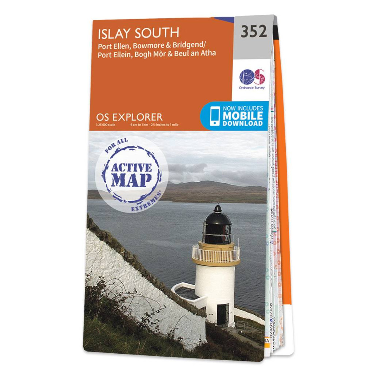
Map of Islay South - OS Explorer Map 352 (Port Ellen, Bowmore & Bridgend) Format: Folded map Physical Size: 952 x 1270 mm (133 x 240 mm folded) Standard Publication Date: 16/09/2015 Weatherproof Publication Date: 16/09/2015

Map of Kintyre South - OS Explorer Map 356 (Campbeltown) Format: Folded map Physical Size: 890 x 1000 mm (134 x 227 mm folded) Standard Publication Date: 16/09/2015 Weatherproof Publication Date: 16/09/2015
|
|