|
|
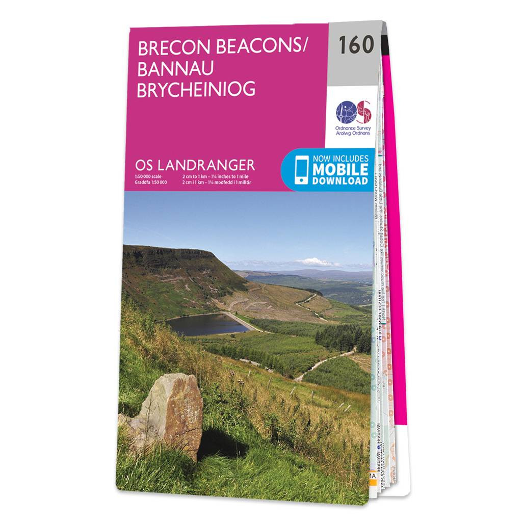
The Landranger map of Brecon Beacons/Bannau Brycheiniog is a must-have for your next trip to the area. Landranger maps are perfect for extensive hikes, cycling, and driving holidays.Ideal for planning days out or holidays in the Brecon Beacons National Park — where there is an abundance of things to do. Explore the town of Llandovery, hike to the peak of Pen y Fan, and see the monument to Llewelyn ap Gruffudd Fychan.Brecon beacons is an International Dark Sky Reserve, on clear nights you can see the Milky Way, Major constellations, as well as bright nebulas and meteor showers.Our Landranger maps come in standard or Weatherproof Active, you'll also receive a free download for your devices — making for a convenient companion. Standard Publication Date: 24/02/2016 Weatherproof Publication Date: 24/02/2016
Price: £12.99 from Ordnance Survey
| Retailer | Price | |
|---|---|---|
| Ordnance Survey | £12.99 | Go to shop |
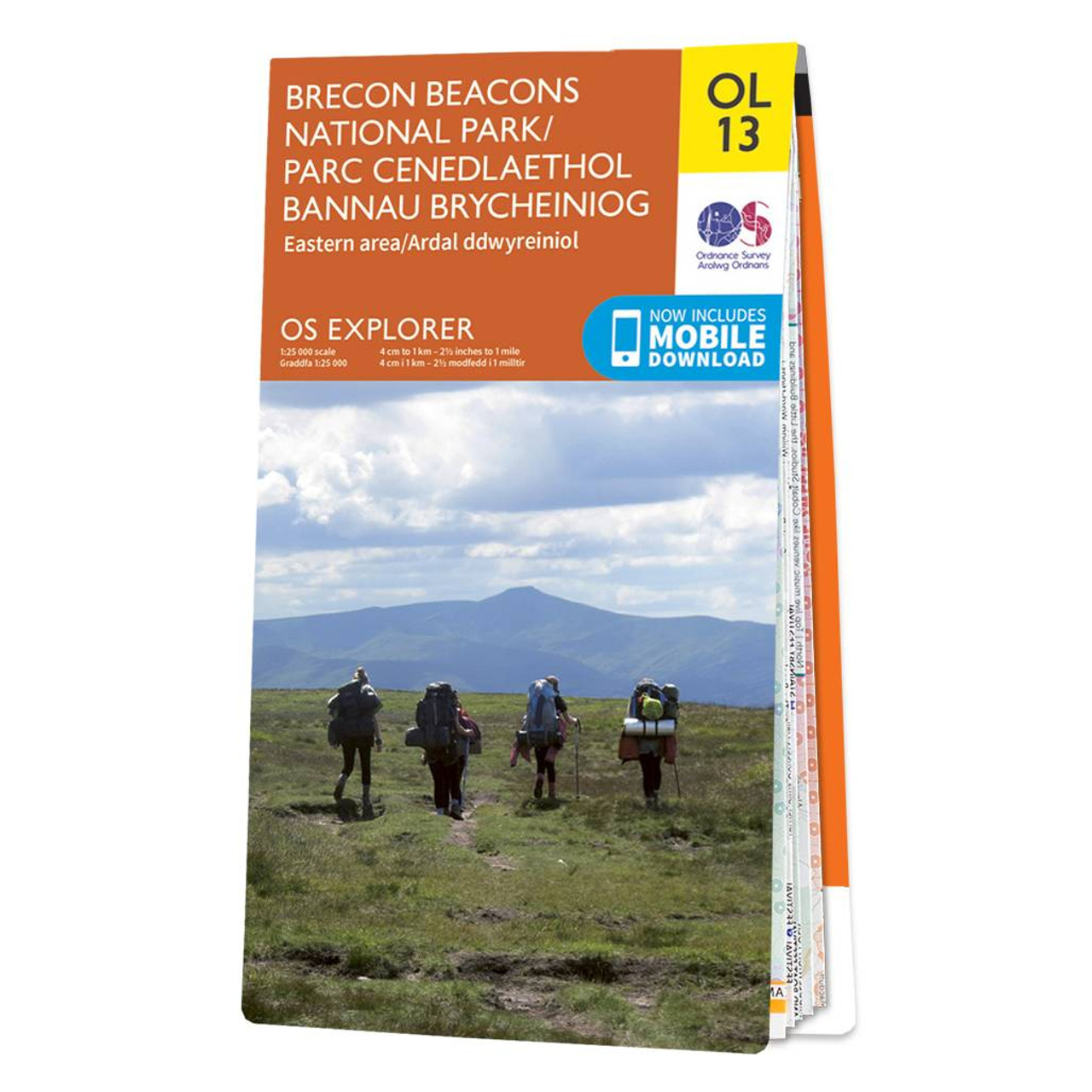
The OS Explorer map of Brecon Beacon National Park, Eastern Area.This a must-have when visiting this stunning area of open green landscapes, nature reserves, and waterfalls.There is so much to explore, such as the remains of Crickhowell Castle, a grade...
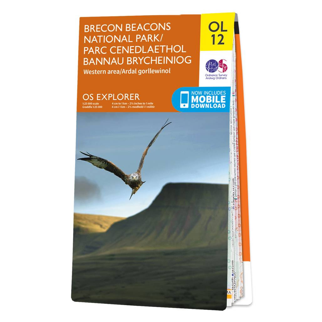
The OS Explorer map of Brecon Beacons, Western Area is a must-have when visiting the Western Area of the National Park. Whether you're interests are summiting Pen-y-Fan — the highest peak in South Wales, exploring local villages such as the quaint Sennybridge,...
The OS Explorer map of Brecon Beacon National Park, Eastern Area.This a must-have when visiting this stunning area of open green landscapes, nature reserves, and waterfalls.There is so much to explore, such as the remains of Crickhowell Castle, a grade...
|
|