
The Landranger map of Porthmadog & Dolgellau is a must-have for your next trip to the area. Landranger maps are perfect for extensive hikes, cycling, and driving holidays. The perfect tool for planning days out or holidays to Cardigan bay and the surrounding...
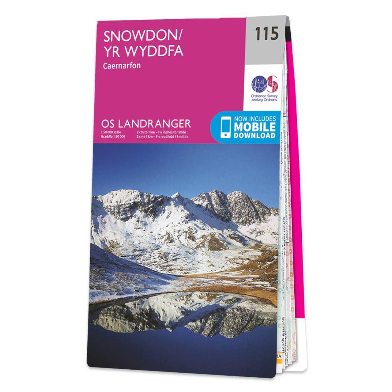
The OS Landranger Map of Snowdon (Yr Wyddfa) is the perfect companion for planning your next walking trip or holiday in Northern Eryri National Park (Snowdonia). This map comes in both English & Welsh and some of its highlights include Bangor, Caernarfon,...
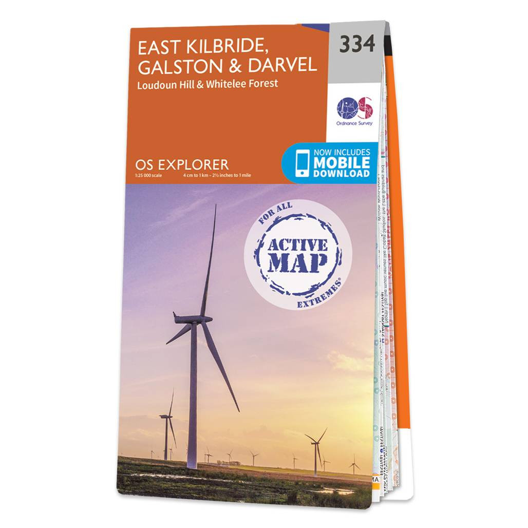
Map of East Kilbride, Galston & Darvel - OS Explorer Map 334 (Loudoun Hill & Whitelee Forest) Format: Folded map Physical Size: 952 x 1270 mm (133 x 240 mm folded) Standard Publication Date: 16/09/2015 Weatherproof Publication Date: 16/09/2015

Map of Edge Hill & Fenny Compton - OS Explorer Map 206 (Badby, Kineton & Middle Tysoe) Format: Folded map Physical Size: 1270 x 952 mm (133 x 240 mm folded) Standard Publication Date: 16/09/2015 Weatherproof Publication Date: 31/05/2023

Map of Newark-on-Trent - OS Explorer Map 271 (Retford, Southwell & Saxilby) Format: Folded map Physical Size: 890 x 1000 mm (134 x 227 mm folded) Standard Publication Date: 16/09/2015 Weatherproof Publication Date: 16/09/2015
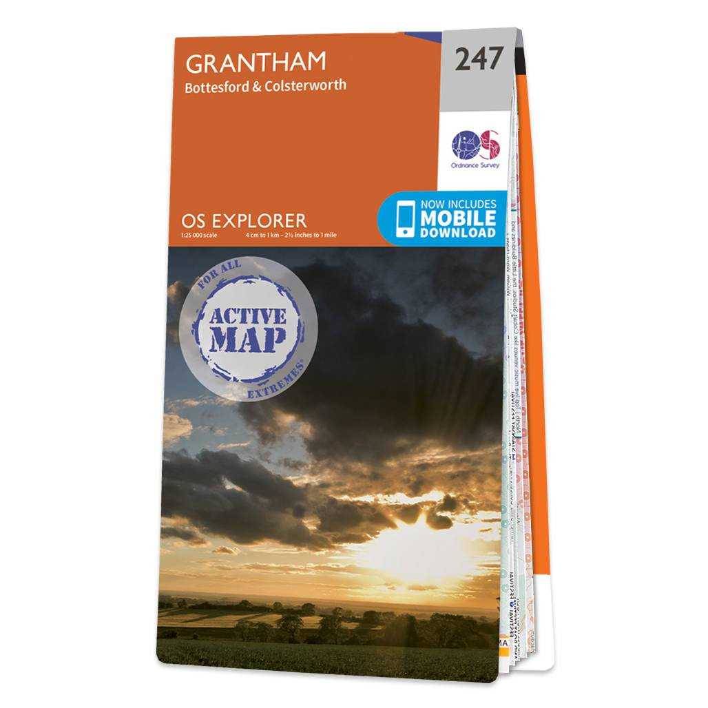
Map of Grantham - OS Explorer Map 247 (Bottesford & Colsterworth) Format: Folded map Physical Size: 952 x 1270 mm (133 x 240 mm folded) Standard Publication Date: 16/09/2015 Weatherproof Publication Date: 16/09/2015

OS Explorer Map of Campsie Fells - (OS Explorer Map 348), including Kilsyth, Strathblane & Fintry Standard Publication Date: 16/09/2015 Weatherproof Publication Date: 16/09/2015
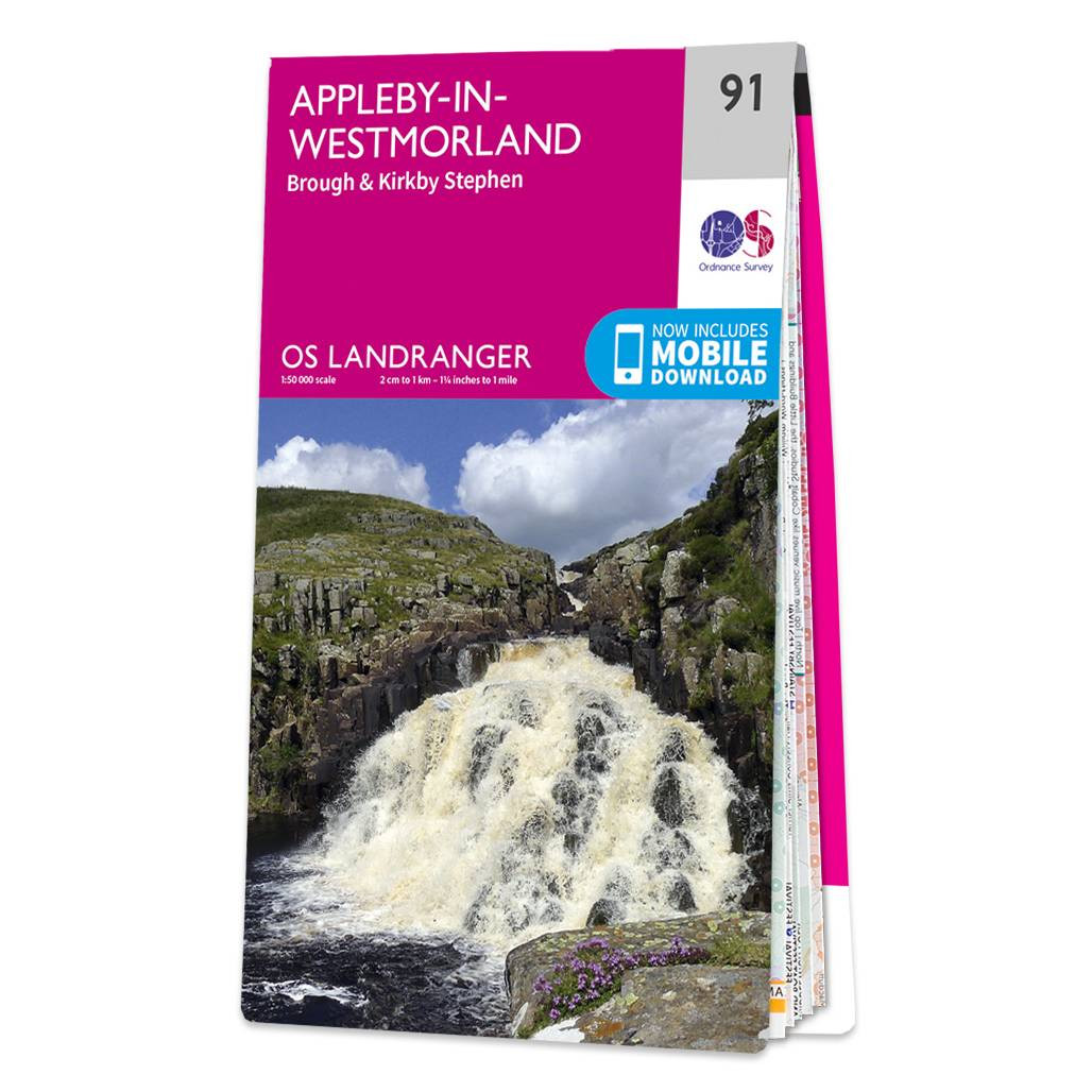
Appleby-in-Westmorland (inc. Brough & Kirkby Stephen) map - OS Landranger 91 Standard Publication Date: 23/12/2016 Weatherproof Publication Date: 30/01/2017

OSI Discovery Sheet No. 62 covers part of County Carlow, Wexford and Wicklow at a 1:50 000 scale and is designed for all sorts of leisure activities including walking, cycling and tourism. Features shown on the Discovery series include walking trails,...
Map of Carlisle - OS Explorer Map 315 (Brampton, Longtown & Gretna Green) Standard Publication Date: 16/09/2015 Weatherproof Publication Date: 16/09/2015
|
|