|
|
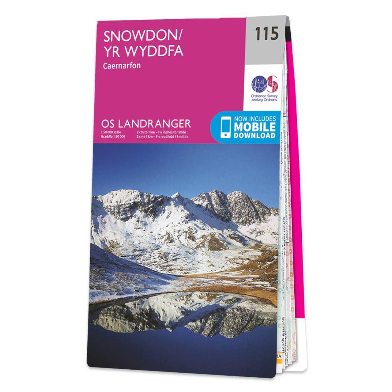
The OS Landranger Map of Snowdon (Yr Wyddfa) is the perfect companion for planning your next walking trip or holiday in Northern Eryri National Park (Snowdonia). This map comes in both English & Welsh and some of its highlights include Bangor, Caernarfon, Anglesey, and of course Snowdon (Yr Wyddfa) itself. It contains key information so you can immerse yourself in the beautiful valleys and discover the majestic mountainside, including walking and hiking trails, roads and tourist features. Take on the challenge of Snowdon, or simply admire the beauty of Eryri National Park (Snowdonia). OS Landranger maps come in standard or Weatherproof Active versions and you'll also receive a free download for your devices — making for a convenient companion. Standard Publication Date: 14/06/2024 Weatherproof Publication Date: 06/08/2024
Price: £12.99 from Ordnance Survey
| Retailer | Price | |
|---|---|---|
| Ordnance Survey | £12.99 | Go to shop |
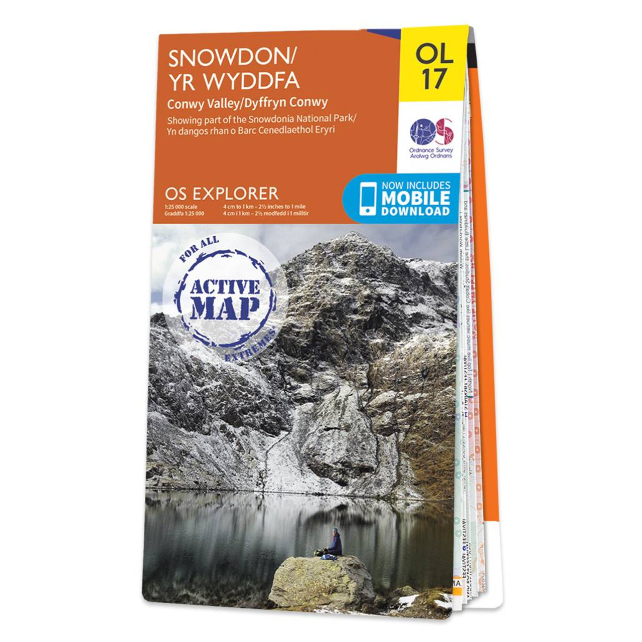
Explore Yr Wyddfa (Snowdon) with ease and marvel at the beautiful sceneries of Northern Snowdonia and the Conwyn Valley (Dyffryn Conwy). Our OS explorer range is in 1:25 000 scale, meaning 4cm is 1km (2½ inches is 1 mile). This map covers Northern Snowdonia...

Coll & Tiree map - OS Landranger 46 Format: Folded map Physical Size: 1000 x 890 mm (134 x 227 mm folded) Standard Publication Date: 24/02/2016 Weatherproof Publication Date: 24/02/2016

Isle of Arran map - OS Landranger 69 Format: Folded map Physical Size: 1000 x 890 mm (134 x 227 mm folded) Standard Publication Date: 24/02/2016 Weatherproof Publication Date: 24/02/2016
|
|