Strathdon & Alford map - OS Landranger 37 Publication Date: 24/02/2016
Blairgowrie & Forest of Alyth map - OS Landranger 53 Format: Folded map Physical Size: 1000 x 890 mm (134 x 227 mm folded) Standard Publication Date: 24/02/2016 Weatherproof Publication Date: 24/02/2016
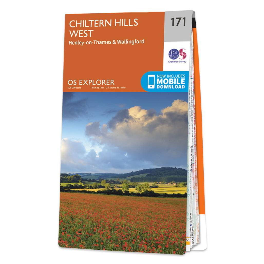
The OS Explorer map of Chiltern Hills West, including Henley-on-Thames, and Wallingford is a must-have when visiting the Chiltern Hills, or 'The Chilterns' as they are referred to locally.Given the title of AONB in 1965, the Chiltern Hills are a quintessential...

Banff & Huntly (inc. Portsoy & Turriff) map - OS Landranger 29 Format: Folded map Physical Size: 1000 x 890 mm (134 x 227 mm folded) Standard Publication Date: 24/02/2016 Weatherproof Publication Date: 24/02/2016
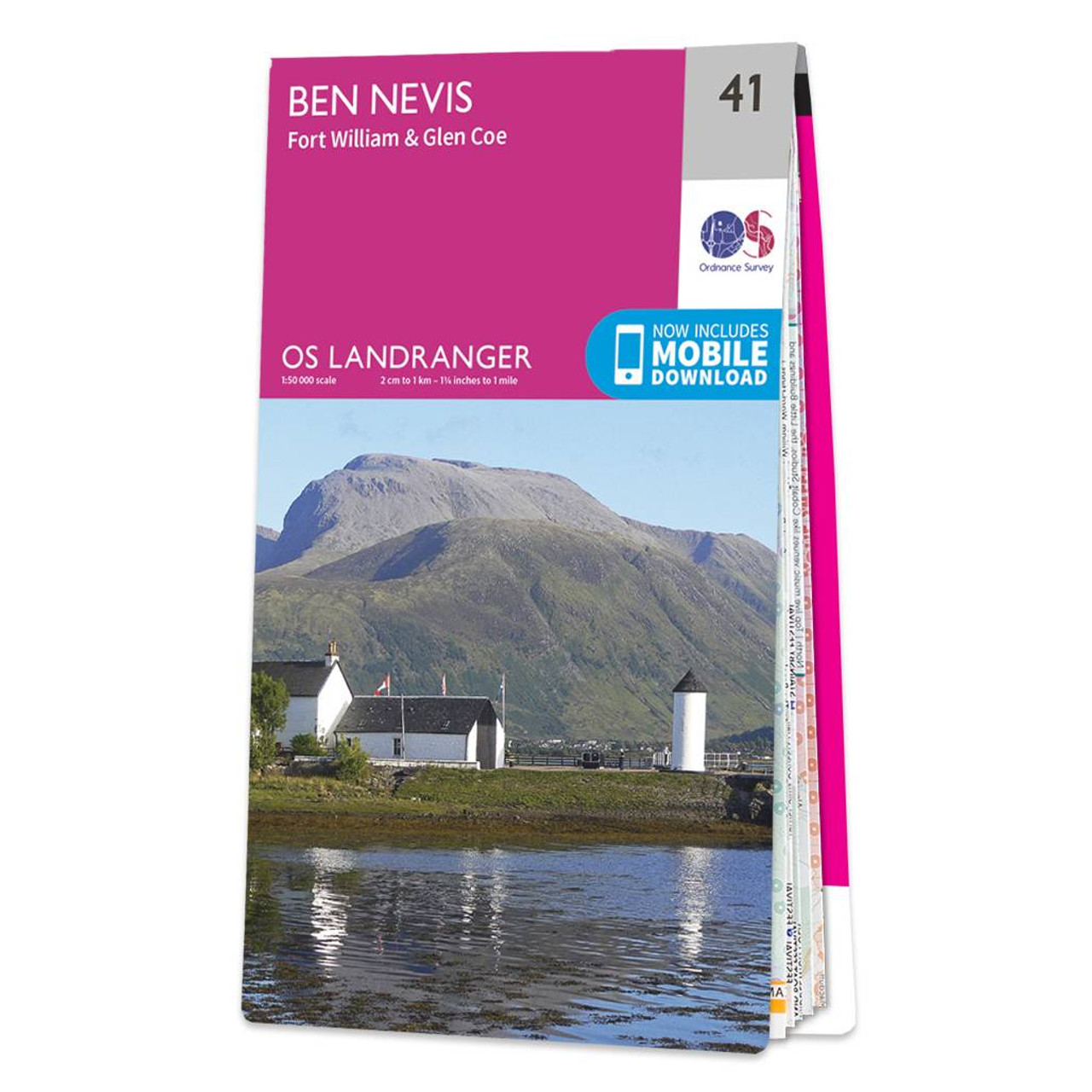
The OS Landranger map of Ben Nevis (including Fort William & Glen Coe) is a must-have for your next trip to the area.The area is famous for its challenging walks paid off by spectacular views. Explore Glen Coe, full of dramatic scenery due to the glen's...

OSI Discovery Sheet No. 56 covers part of County Dublin, Kildare and Wicklow at a 1:50 000 scale and is designed for all sorts of leisure activities including walking, cycling and tourism. Features shown on the Discovery series include walking trails,...
Map of Whitehaven & Workington - OS Explorer Map 303 (Cockermouth & Egremont) Standard Publication Date: 07/05/2021 Weatherproof Publication Date: 30/07/2021

Map of Durham & Sunderland - OS Explorer Map 308 (Chester-le-Street & Peterlee) Standard Publication Date: 14/06/2024 Weatherproof Publication Date: 18/11/2024
Map of Worcester & Droitwich Spa - OS Explorer Map 204 Format: Folded map Physical Size: 1270 x 952 mm (133 x 240 mm folded) Standard Publication Date: 16/09/2015 Weatherproof Publication Date: 16/09/2015
Stirling & The Trossachs map - OS Landranger Map 57 Standard Publication Date: 14/02/2022 Waterproof Publication Date: 02/03/2022
|
|