|
|
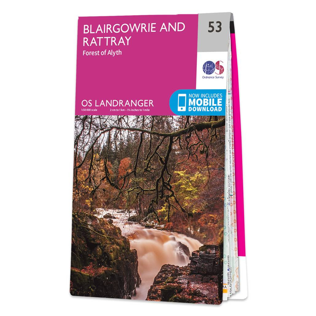
Blairgowrie & Forest of Alyth map - OS Landranger 53 Format: Folded map Physical Size: 1000 x 890 mm (134 x 227 mm folded) Standard Publication Date: 24/02/2016 Weatherproof Publication Date: 24/02/2016
Price: £12.99 from Ordnance Survey
| Retailer | Price | |
|---|---|---|
| Ordnance Survey | £12.99 | Go to shop |
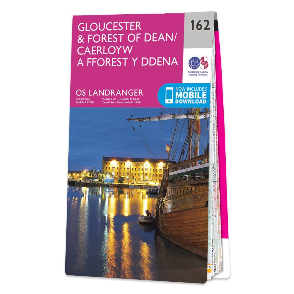
Map of Gloucester & Forest of Dean - OS Landranger 162 Format: Folded map Physical Size: 1125 x 890 mm (134 x 227 mm folded) Standard Publication Date: 28/04/2025 Weatherproof Publication Date: 28/04/2025
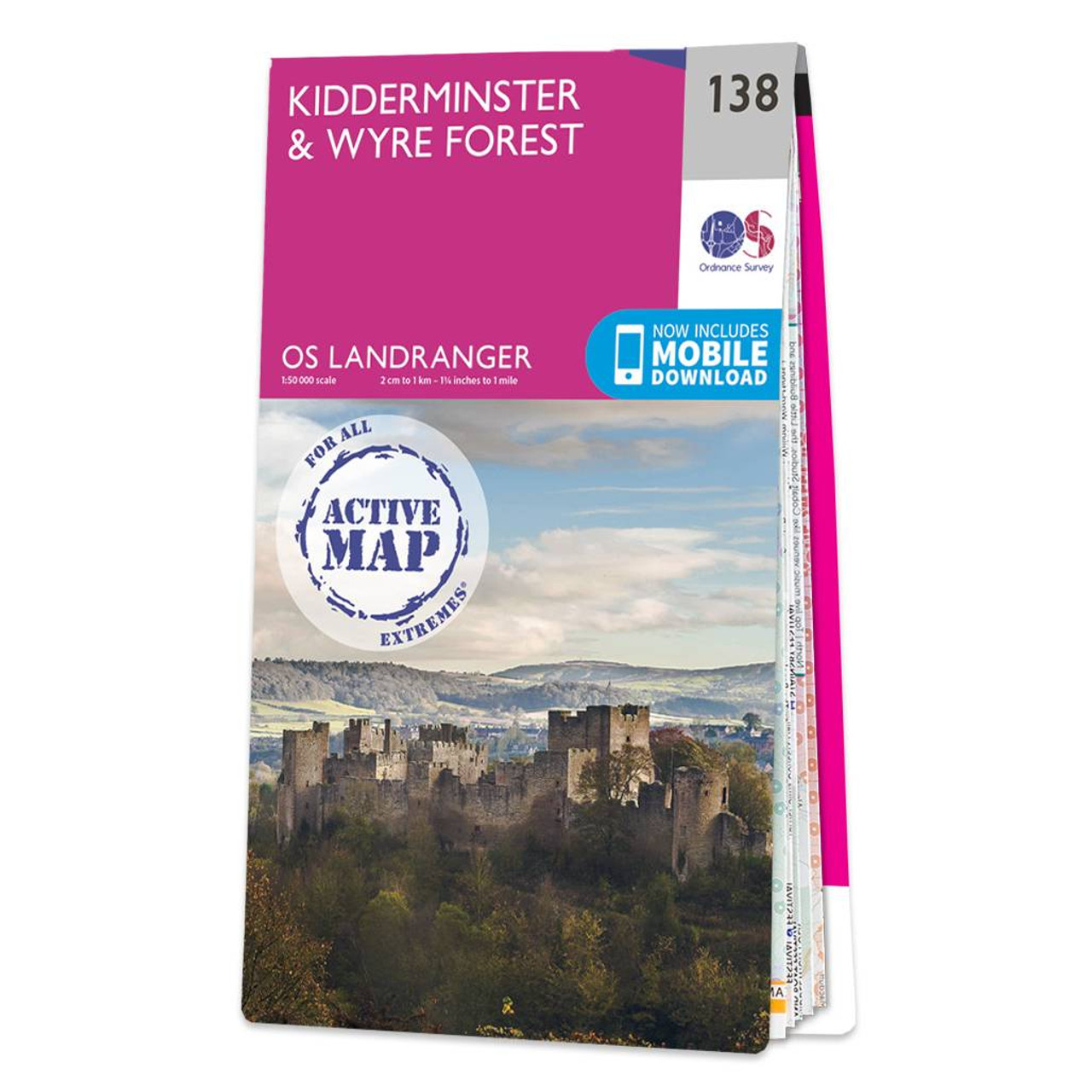
Kidderminster & Wyre Forest map - OS Landranger 138 Format: Folded map Physical Size: 1000 x 890 mm (134 x 227 mm folded) Standard Publication Date: 01/06/2018 Weatherproof Publication Date: 25/06/2018
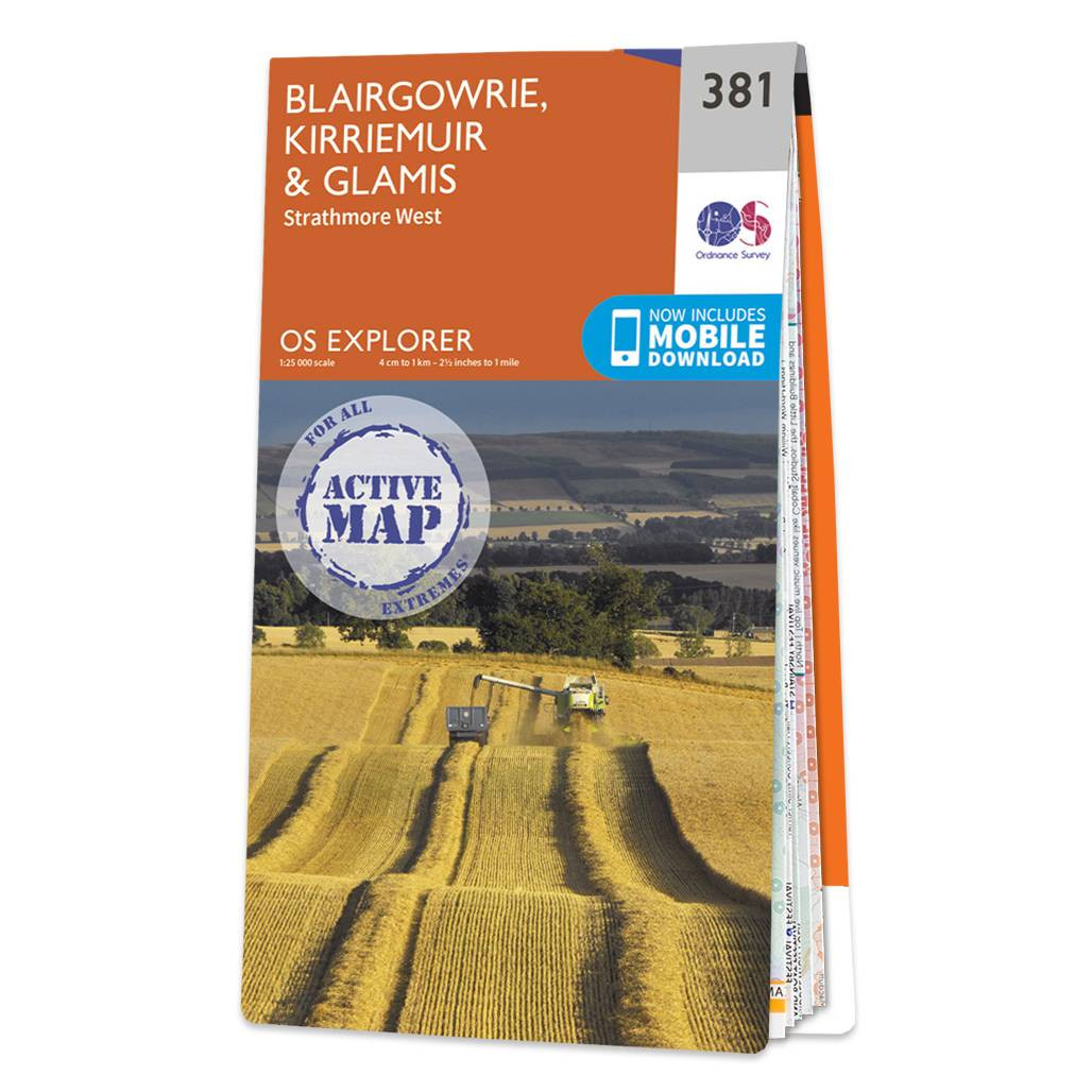
Map of Blairgowrie, Kirriemuir & Glamis - OS Explorer Map 381 (Strathmore West) Format: Folded map Physical Size: 1270 x 952 mm (133 x 240 mm folded) Standard Publication Date: 16/09/2015 Weatherproof Publication Date: 16/09/2015
|
|