Map of Consett & Derwent Reservoir - OS Explorer Map 307 (Stanhope) Format: Folded map Physical Size: 1270 x 952 mm (133 x 240 mm folded) Standard Publication Date: 16/09/2015 Weatherproof Publication Date: 16/09/2015

Barrow-in-Furness & South Lakeland map - OS Landranger 96 Standard Publication Date: 24/02/2016 Weatherproof Publication Date: 24/02/2016
Malton & Pickering (inc. Helmsley & Easingwold) map - OS Landranger 100 Standard Publication Date: 24/02/2016 Weatherproof Publication Date: 24/02/2016
Oban & East Mull map - OS Landranger 49 Format: Folded map Physical Size: 1000 x 890 mm (134 x 227 mm folded) Standard Publication Date: 24/02/2016 Weatherproof Publication Date: 24/02/2016
Take time to explore the lakes, spot mountain goats, or hike Scafell Pike using the OS Landranger Map of Penrith & Keswick (sheet 90). There is an abundance of things to do in the Penrith & Keswick area of the Lake District, and with OS mapping, finding...
Bude & Clovelly (inc. Boscastle & Holsworthy) map - OS Landranger 190 Standard Publication Date: 24/02/2016 Weatherproof Publication Date: 24/02/2016
Map of Lochindorb, Grantown-on-Spey & Carrbridge - OS Explorer Map OL 60 Standard Publication Date: 10/06/2015 Weatherproof Publication Date: 10/06/2015
Map of Braemar, Tomintoul & Glen Avon - OS Explorer Map OL 58 (Beinn a' Bhuird & Ben Avon) Standard Publication Date: 20/04/2022 Weatherproof Publication Date: 10/03/2022
Purchase the Ayr & Troon folded map: double-sided (boarded cover) from the OS Explorer Map range Format: Folded map Physical Size: 1000 x 890 mm (134 x 227 mm folded) Standard Publication Date: 16/09/2015 Weatherproof Publication Date: 16/09/2015
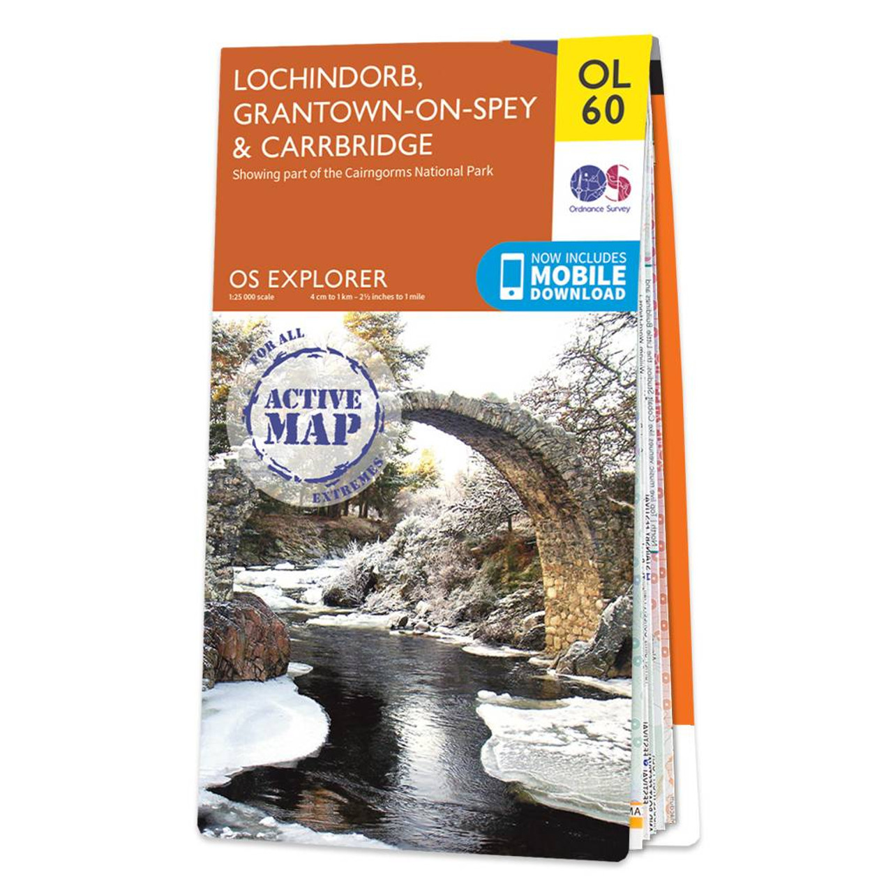
Map of Lochindorb, Grantown-on-Spey & Carrbridge - OS Explorer Map OL 60 Standard Publication Date: 10/06/2015 Weatherproof Publication Date: 10/06/2015
|
|