|
|
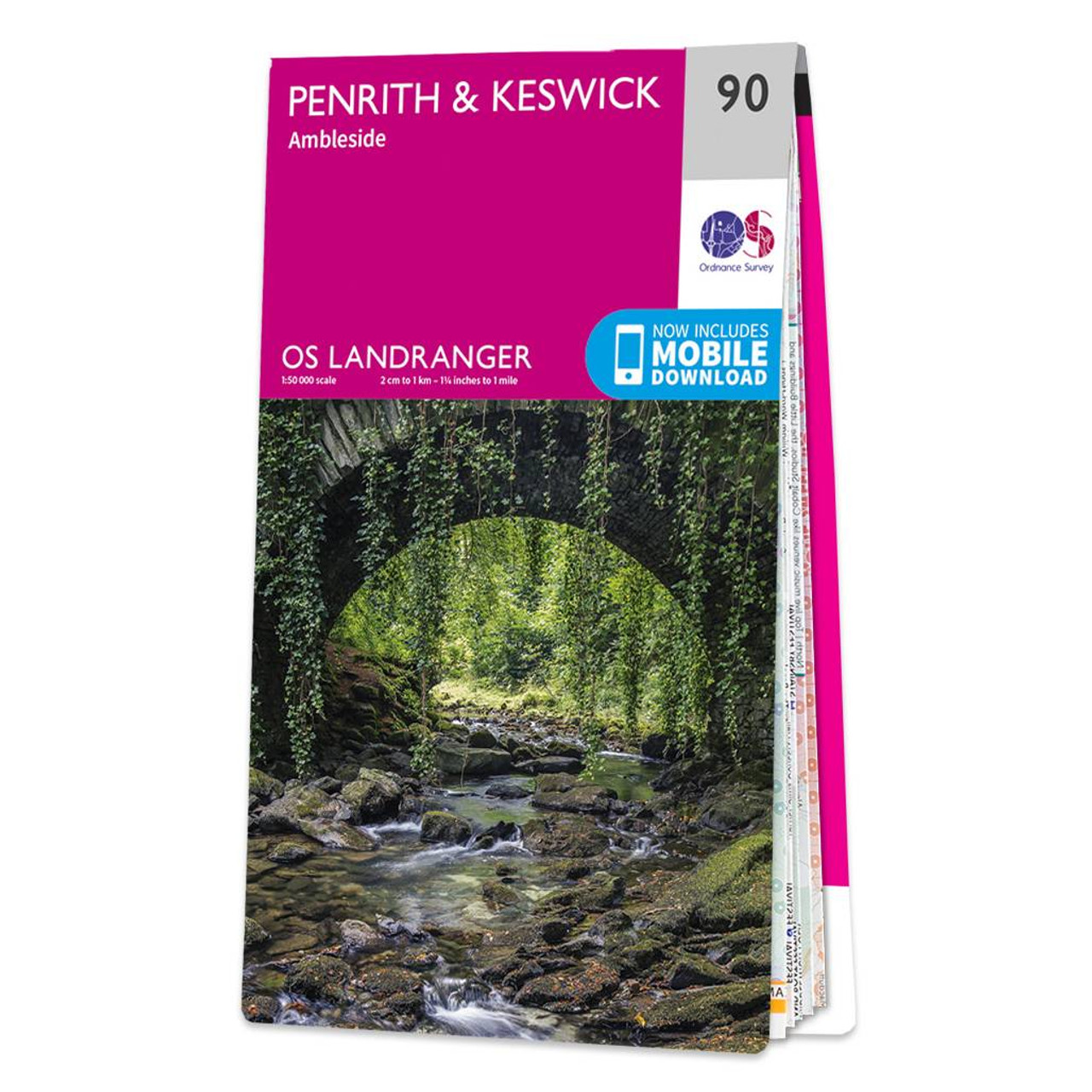
Take time to explore the lakes, spot mountain goats, or hike Scafell Pike using the OS Landranger Map of Penrith & Keswick (sheet 90). There is an abundance of things to do in the Penrith & Keswick area of the Lake District, and with OS mapping, finding everything on offer has never been easier.Our Landranger maps are in 1:50 000 scale, making them perfect for planning holidays & day trips. Whether you're in for an odyssey or a jaunt, OS Landranger maps are the perfect companion for the day-tripper or backpacker.Some highlights of the area include: Helvellyn, Scafell Pike, Derwent Water, & Buttermere.Our OS Landranger series are available in 'standard paper' and 'weatherproof'. You'll also receive a free mobile download, making for the most convenient of companions. Publication Date: 30/01/2017 Weatherproof Publication Date: 31/01/2017
Price: £12.99 from Ordnance Survey
| Retailer | Price | |
|---|---|---|
| Ordnance Survey | £12.99 | Go to shop |

Coll & Tiree map - OS Landranger 46 Format: Folded map Physical Size: 1000 x 890 mm (134 x 227 mm folded) Standard Publication Date: 24/02/2016 Weatherproof Publication Date: 24/02/2016

Isle of Arran map - OS Landranger 69 Format: Folded map Physical Size: 1000 x 890 mm (134 x 227 mm folded) Standard Publication Date: 24/02/2016 Weatherproof Publication Date: 24/02/2016
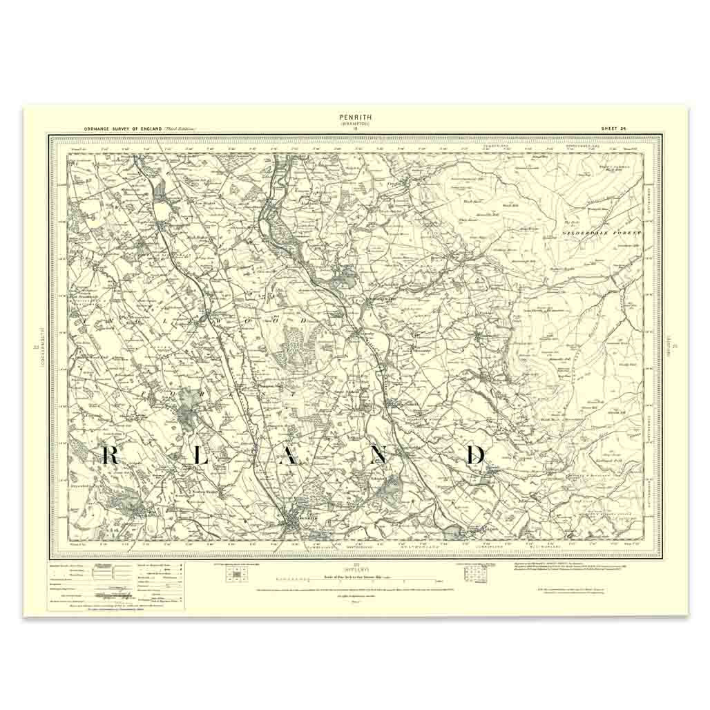
An authentic reproduction Ordnance Survey map of Penrith from the Revised New Edition, 1896 to 1904. Printed flat, and delivered rolled in a tube. About our range of historical maps Our stunning Ordnance Survey Historical Maps make ideal gifts. Perfect...
|
|