StarNIC   V 1.3


Image of Ordnance Survey OS Map of Bude & Clovelly: Landranger 190
 

Ordnance Survey OS Map of Bude & Clovelly: Landranger 190

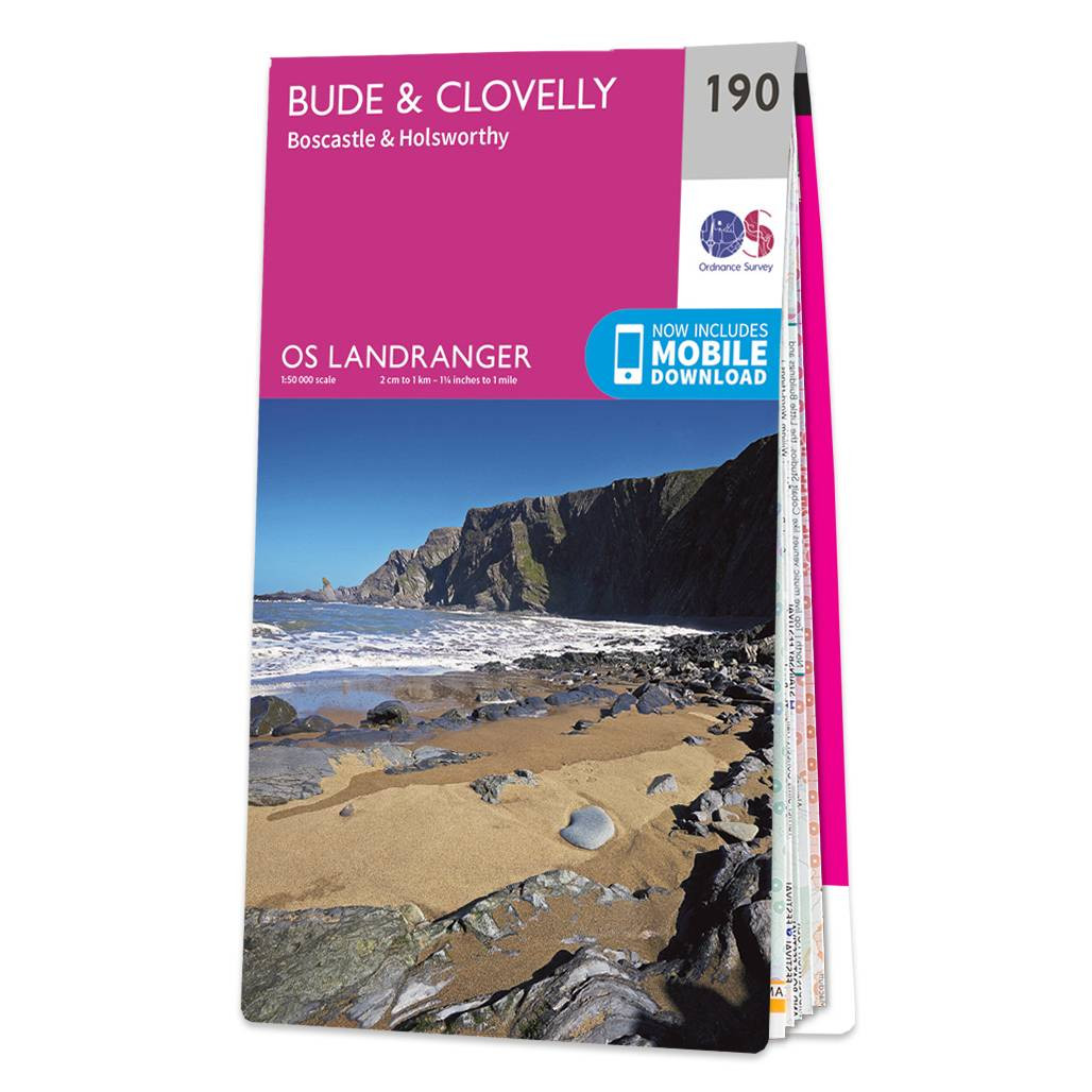
Bude & Clovelly (inc. Boscastle & Holsworthy) map - OS Landranger 190 Standard Publication Date: 24/02/2016 Weatherproof Publication Date: 24/02/2016

Price: £12.99 from Ordnance Survey

Retailer Retailer Product Description Price  
Ordnance Survey Ordnance Survey OS Map of Bude & Clovelly: Landranger 190 £12.99 Go to shop

Related Products

 
Image of Ordnance Survey OS Map of Bude, Boscastle & Tintagel: Explorer 111
 

Ordnance Survey OS Map of Bude, Boscastle & Tintagel: Explorer 111

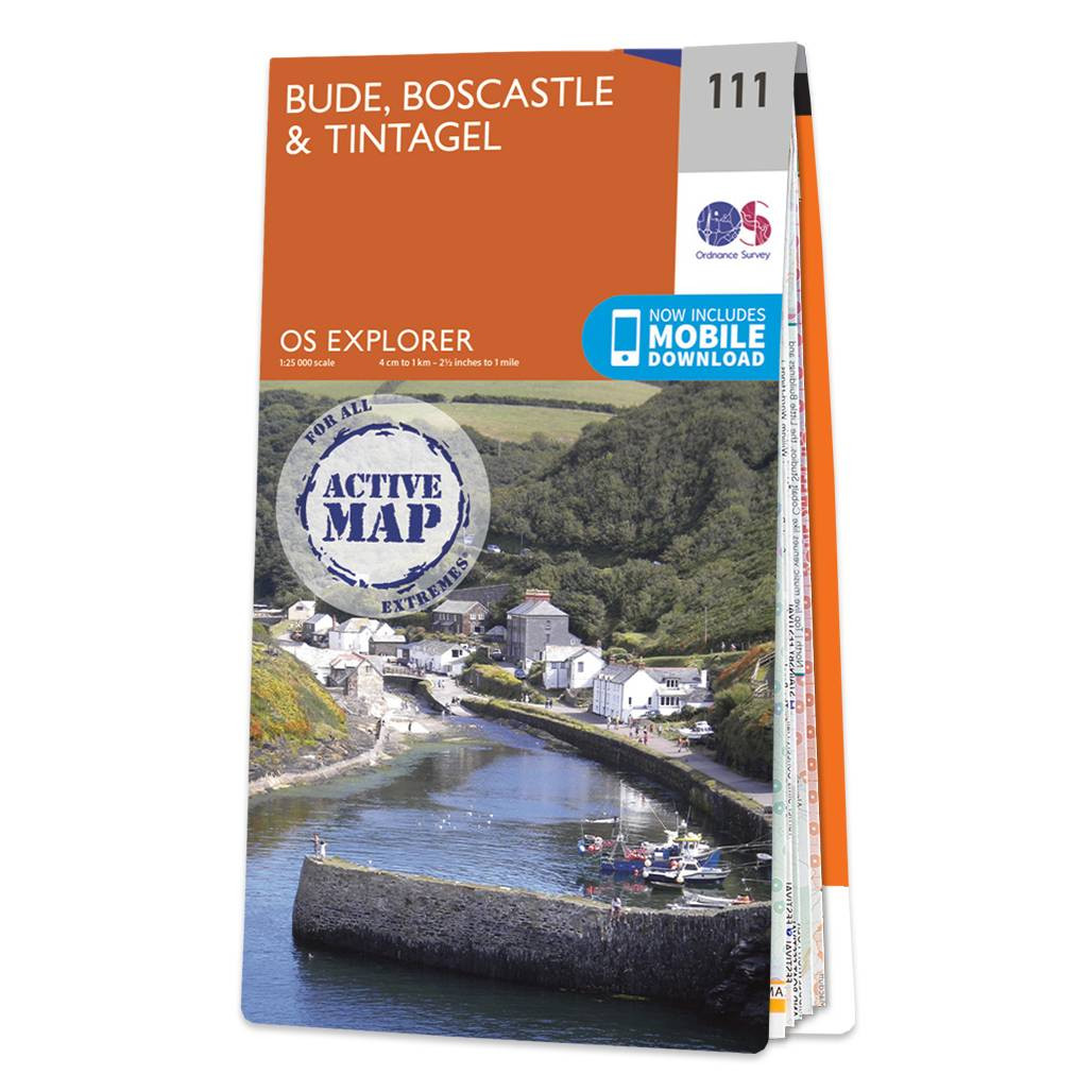
Map of Bude, Boscastle & Tintagel and the South West Coast Path - OS Explorer Map 111 Standard Publication Date: 22/09/2023 Weatherproof Publication Date: 18/03/2024


Image of Ordnance Survey OS Map of Clovelly & Hartland: Explorer 126
 

Ordnance Survey OS Map of Clovelly & Hartland: Explorer 126

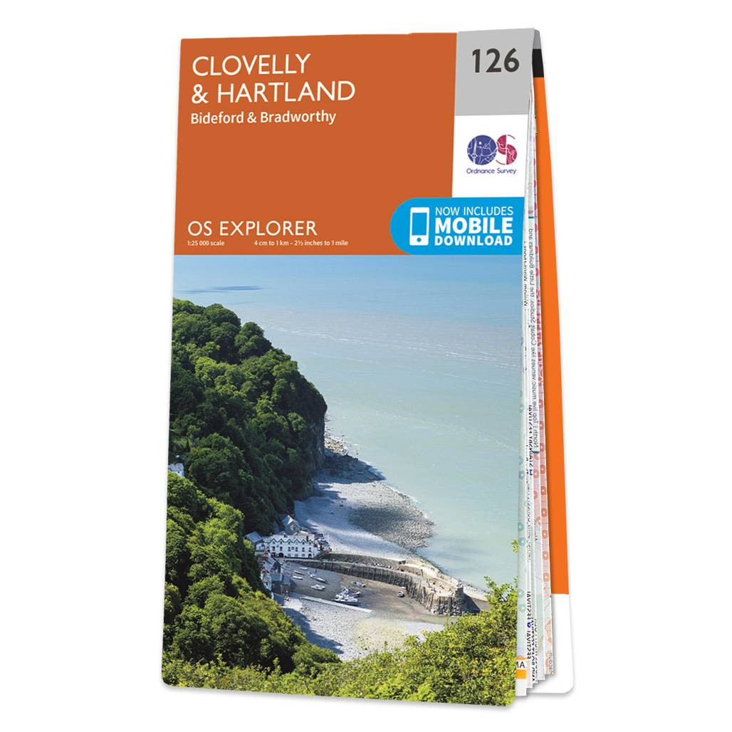
Map of Clovelly & Hartland - OS Explorer Map 126 (Bideford & Bradworthy) Standard Publication Date: 16/09/2015 Weatherproof Publication Date: 16/09/2015


Image of Ordnance Survey OS Map of Coll & Tiree Landranger: Landranger 46
 

Ordnance Survey OS Map of Coll & Tiree Landranger: Landranger 46

Coll & Tiree map - OS Landranger 46 Format: Folded map Physical Size: 1000 x 890 mm (134 x 227 mm folded) Standard Publication Date: 24/02/2016 Weatherproof Publication Date: 24/02/2016


Online Shopping Price Comparison UK © StarNIC 2016 - 2025 All rights reserved.

Designated trademarks brands Logos and certain artworks used
on StarNIC.net are the property of their respective owners.