Nottingham & Loughborough (inc. Melton Mowbray) map - OS Landranger 129 Format: Folded map Physical Size: 1000 x 890 mm (134 x 227 mm folded) Standard Publication Date: 06/11/2018 Weatherproof Publication Date: 10/12/2018
Map of Braemar, Tomintoul & Glen Avon - OS Explorer Map OL 58 (Beinn a' Bhuird & Ben Avon) Standard Publication Date: 20/04/2022 Weatherproof Publication Date: 10/03/2022

An authentic reproduction Ordnance Survey map of Bala from the Revised New Edition, 1896 to 1904. Printed flat, and delivered rolled in a tube. About our range of historical maps Our stunning Ordnance Survey Historical Maps make ideal gifts. Perfect for...
Kettering & Corby (inc. Market Harborough & Stamford) map - OS Landranger 141 Standard Publication Date: 24/02/2016 Weatherproof Publication Date: 24/02/2016

Ashford & Romney Marsh (inc. Rye & Folkestone) map - OS Landranger 189 Standard Publication Date: 18/07/2019 Weatherproof Publication Date: 14/08/2019

The Landranger Map of the Black Mountains is everything you need for your next trip to the area. The Black Mountains Range is separated from Brecon Beacons by the River Wye. The Offa's Dyke path and Sugar Loaf Mountain attracts walkers and hikers who...
Map of Lowther Hills, Sanquhar & Leadhills - OS Explorer Map 329 (Wanlockhead & Crawford Format: Folded map Physical Size: 952 x 1270 mm (133 x 240 mm folded) Standard Publication Date: 16/09/2015 Weatherproof Publication Date: 16/09/2015
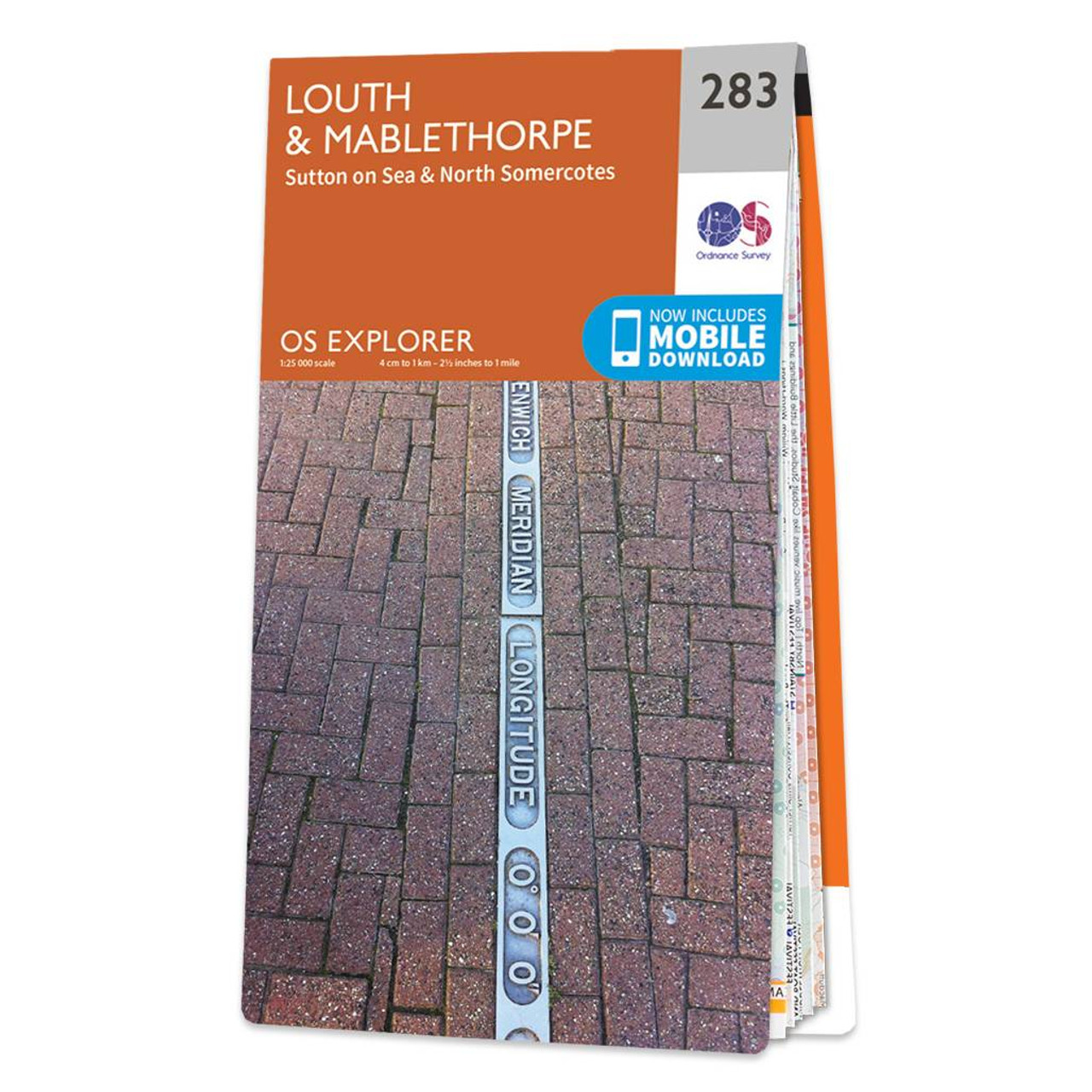
Map of Louth & Mablethorpe - OS Explorer Map 283 (Sutton on Sea & North Somercotes) Standard Publication Date: 16/09/2015 Weatherproof Publication Date: 16/09/2015

Peak District and Derbyshire OS Tour map 4. A 1:100,000 scale tourist map showing road, rail and key tourism features.

OSI Discovery Sheet No. 79 covers part of County Cork and Kerry at a 1:50 000 scale and is designed for all sorts of leisure activities including walking, cycling and tourism. Features shown on the Discovery series include walking trails, cycle routes,...
|
|