|
|
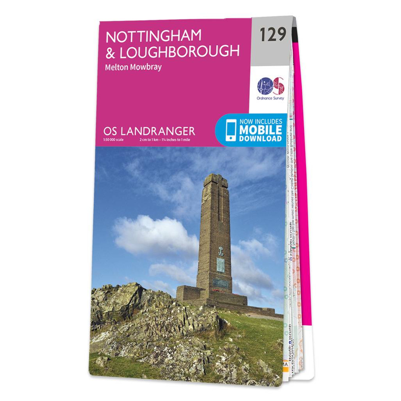
Nottingham & Loughborough (inc. Melton Mowbray) map - OS Landranger 129 Format: Folded map Physical Size: 1000 x 890 mm (134 x 227 mm folded) Standard Publication Date: 06/11/2018 Weatherproof Publication Date: 10/12/2018
Price: £12.99 from Ordnance Survey
| Retailer | Price | |
|---|---|---|
| Ordnance Survey | £12.99 | Go to shop |
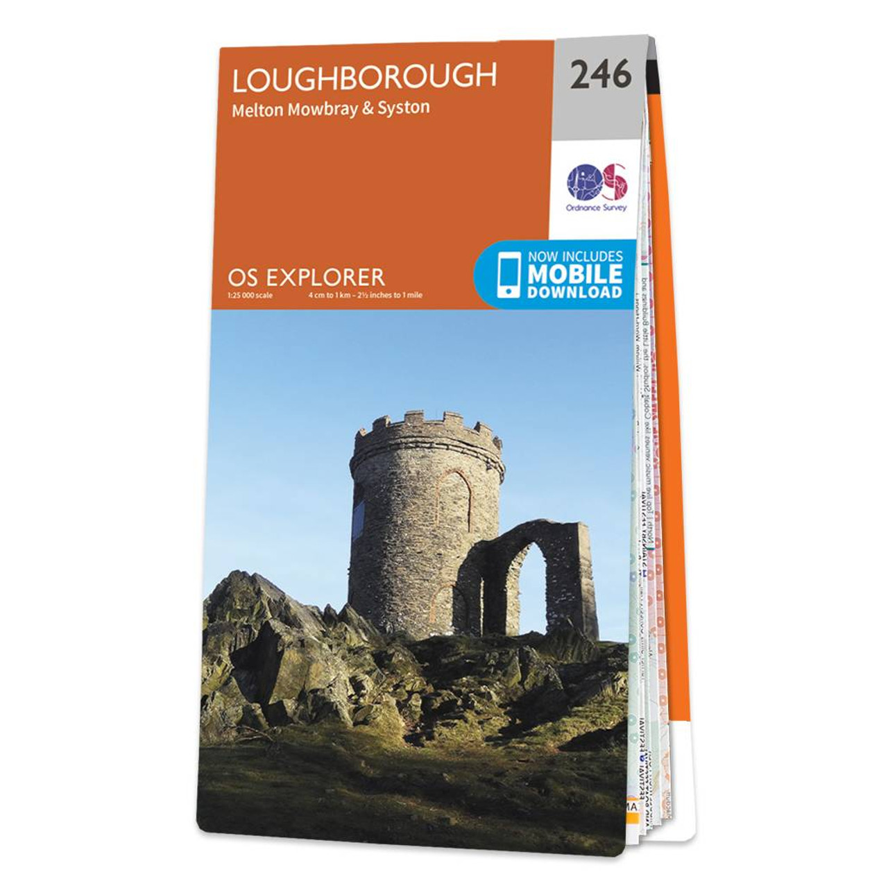
Map of Loughborough - OS Explorer Map 246 (Melton Mowbray & Syston) Format: Folded map Physical Size: 1270 x 952 mm (133 x 240 mm folded) Standard Publication Date: 14/08/2018 Weatherproof Publication Date: 21/09/2018

Coll & Tiree map - OS Landranger 46 Format: Folded map Physical Size: 1000 x 890 mm (134 x 227 mm folded) Standard Publication Date: 24/02/2016 Weatherproof Publication Date: 24/02/2016

Isle of Arran map - OS Landranger 69 Format: Folded map Physical Size: 1000 x 890 mm (134 x 227 mm folded) Standard Publication Date: 24/02/2016 Weatherproof Publication Date: 24/02/2016
|
|