|
|

The Landranger Map of the Black Mountains is everything you need for your next trip to the area. The Black Mountains Range is separated from Brecon Beacons by the River Wye. The Offa's Dyke path and Sugar Loaf Mountain attracts walkers and hikers who seek out this iconic Welsh region. This map also includes Abergavenny, a picturesque town 20 miles from the English/Welsh Border. Our Landranger maps are excellent for driving and cycling holidays, they come in standard or Weatherproof Active. You'll also receive a free download for your devices — making for a convenient companion. Standard Publication Date: 27/03/2024 Weatherproof Publication Date: 17/04/2024
Price: £12.99 from Ordnance Survey
| Retailer | Price | |
|---|---|---|
| Ordnance Survey | £12.99 | Go to shop |
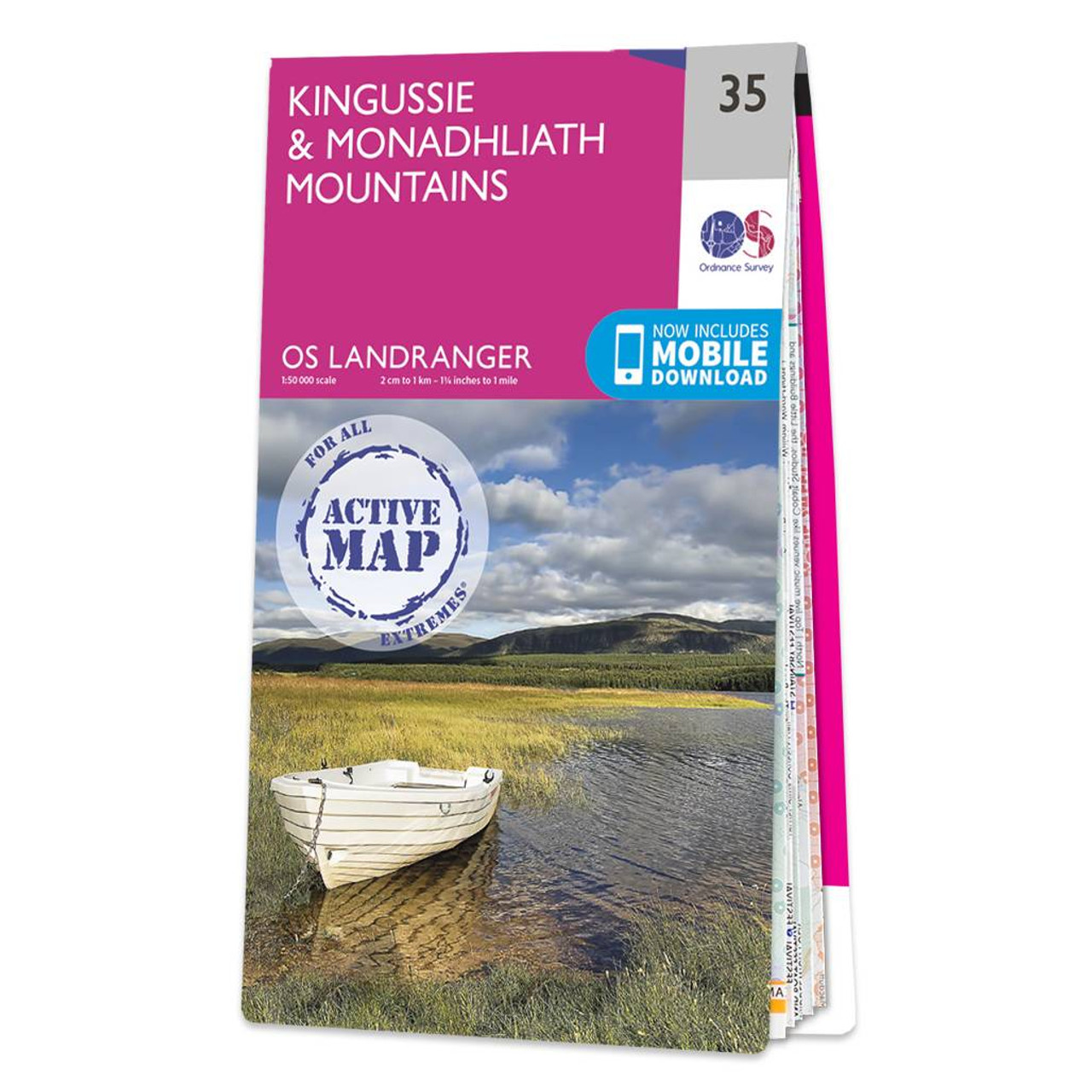
Kingussie & Monadhliath Mountains map - OS Landranger 35 Publication Date: 24/02/2016

Coll & Tiree map - OS Landranger 46 Format: Folded map Physical Size: 1000 x 890 mm (134 x 227 mm folded) Standard Publication Date: 24/02/2016 Weatherproof Publication Date: 24/02/2016

Isle of Arran map - OS Landranger 69 Format: Folded map Physical Size: 1000 x 890 mm (134 x 227 mm folded) Standard Publication Date: 24/02/2016 Weatherproof Publication Date: 24/02/2016
|
|