The OS Explorer map of Cairn Form & Aviemore, including Loch Morlich. Explore Cairngorms National Park, the area around Cairn Gorm and Aviemore hosts many mountain peaks, amongst beautiful Scottish Scenery. Walk the Speyside Way from Aviemore, or discover...
Map of Oswestry - OS Explorer Map 240 (Chirk, Ellesmere & Pant) Format: Folded map Physical Size: 952 x 1270 mm (133 x 240 mm folded) Standard Publication Date: 16/09/2015 Weatherproof Publication Date: 16/09/2015

OSI Discovery Sheet No. 52 covers part of County Clare and Galway at a 1:50 000 scale and is designed for all sorts of leisure activities including walking, cycling and tourism. Features shown on the Discovery series include walking trails, cycle routes,...
Map of Ludlow - OS Explorer Map 203 (Tenbury Wells & Cleobury Mortimer) Format: Folded map Physical Size: 1270 x 952 mm (133 x 240 mm folded) Standard Publication Date: 22/09/2023 Weatherproof Publication Date: 17/04/2024
The Landranger map of Wensleydale and Upper Wharfedale is a must-have for your next trip to the area. Landranger maps are perfect for extensive hikes, cycling, and driving holidays.Ideal for planning days out or holidays to the Yorkshire Dales, including...
Map of Leominster & Bromyard - OS Explorer Map 202 (Hereford North) Standard Publication Date: 08/01/2024 Weatherproof Publication Date: 29/08/2024
Map of Newport & Pontypool - OS Explorer Map 152 Standard Publication Date: 16/09/2015 Weatherproof Publication Date: 16/09/2015
Map of South Molton & Chulmleigh - OS Explorer Map 127 (King's Nympton, Chittlehampton & Dolton) Standard Publication Date: 16/09/2015 Weatherproof Publication Date: 16/09/2015
Map of Kingston upon Hull & Beverley - OS Explorer Map 293 Standard Publication Date: 16/09/2015 Weatherproof Publication Date: 16/09/2015
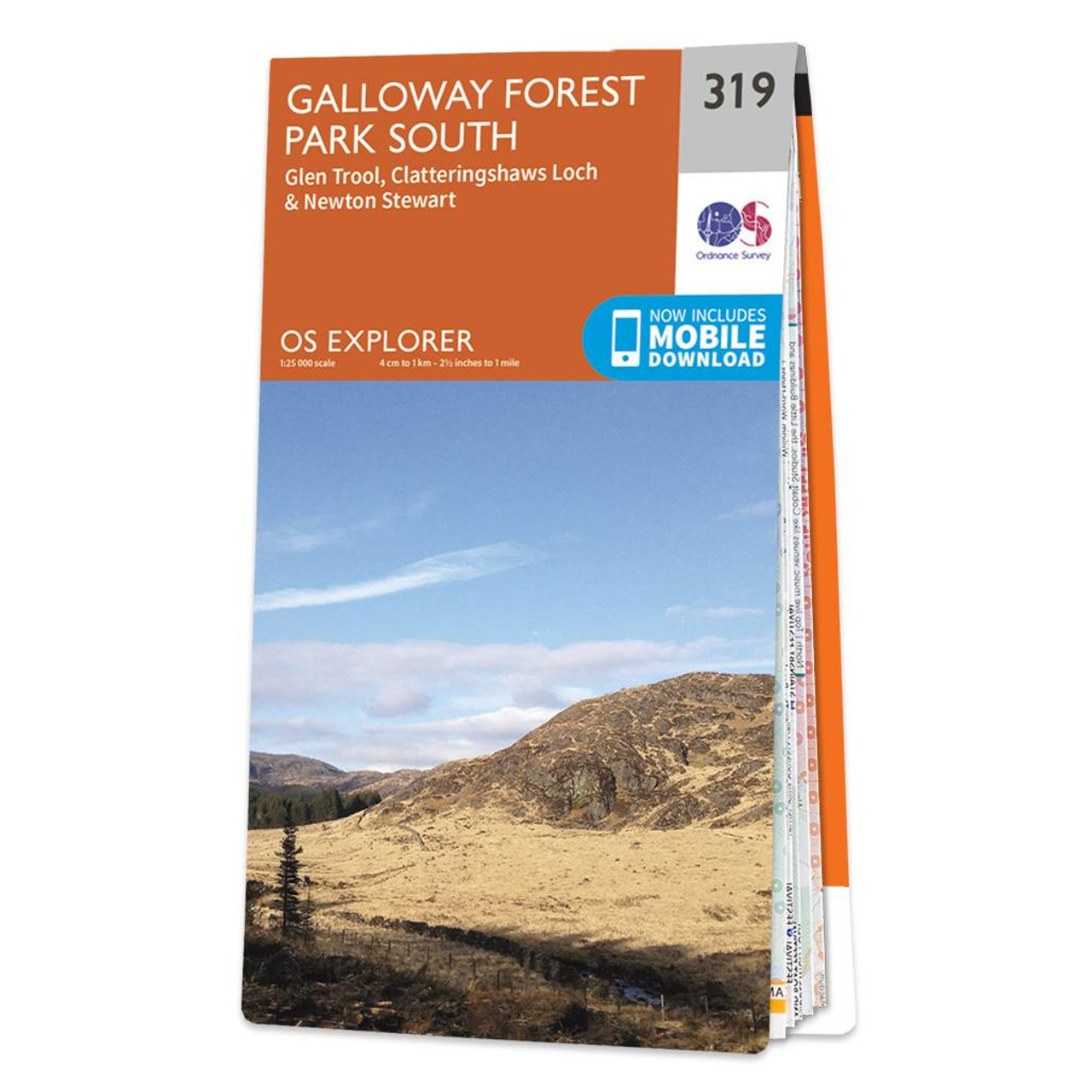
Map of Galloway Forest Park South - OS Explorer Map 319 (Glen Trool & Clatteringshaws Loch Newton Stewart) Format: Folded map Physical Size: 1270 x 952 mm (133 x 240 mm folded) Standard Publication Date: 16/09/2015 Weatherproof Publication Date: 16/09/2015
|
|