|
|
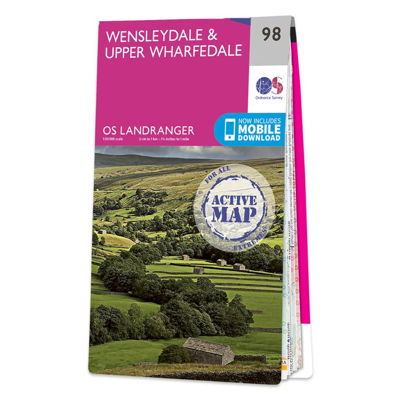
The Landranger map of Wensleydale and Upper Wharfedale is a must-have for your next trip to the area. Landranger maps are perfect for extensive hikes, cycling, and driving holidays.Ideal for planning days out or holidays to the Yorkshire Dales, including Wensleydale and Upper Wharfedale. Admire striking limestone and gritstone scenery, walk the Pennine Way, check out sailing on the Grimworth Reservoir, and the sample the local cheese at the Wensleydale Cheese Factory.Our Landranger maps come in standard or Weatherproof Active, you'll also receive a free download for your devices — making for a convenient companion. Standard Publication Date: 19/12/2016 Weatherproof Publication Date: 21/12/2016
Price: £16.99 from Ordnance Survey
| Retailer | Price | |
|---|---|---|
| Ordnance Survey | £16.99 | Go to shop |
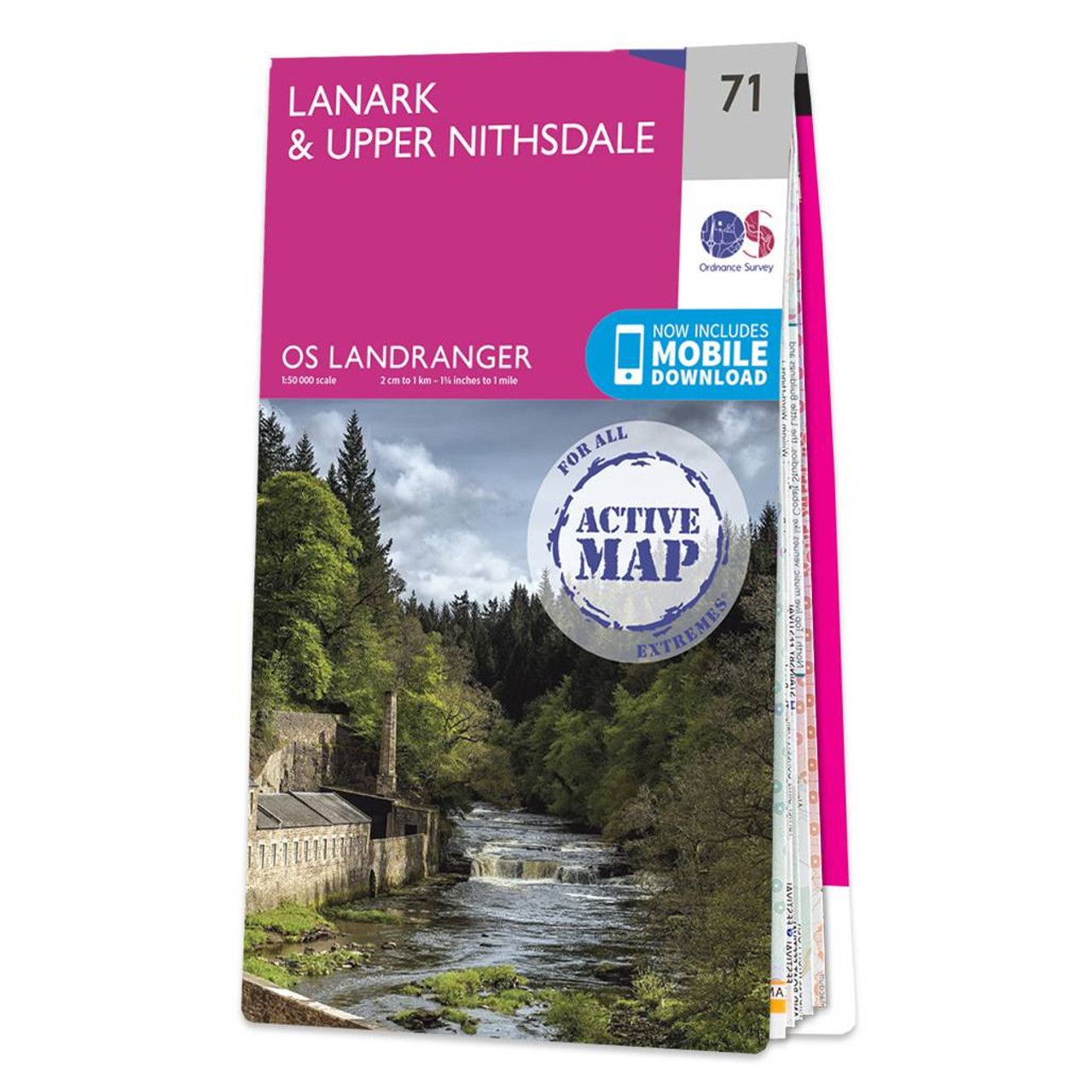
Lanark & Upper Nithsdale map - OS Landranger 71 Format: Folded map Physical Size: 1000 x 890 mm (134 x 227 mm folded) Standard Publication Date: 24/02/2016 Weatherproof Publication Date: 24/02/2016
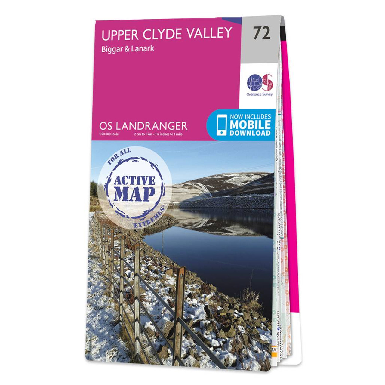
Upper Clyde Valley (inc. Biggar & Lanark) map - OS Landranger 72 Format: Folded map Physical Size: 1000 x 890 mm (134 x 227 mm folded) Standard Publication Date: 24/02/2016 Weatherproof Publication Date: 24/02/2016

Coll & Tiree map - OS Landranger 46 Format: Folded map Physical Size: 1000 x 890 mm (134 x 227 mm folded) Standard Publication Date: 24/02/2016 Weatherproof Publication Date: 24/02/2016
|
|